Information
Landmark: St. Olav's WayCity: Trondheim
Country: Norway
Continent: Europe
St. Olav's Way, Trondheim, Norway, Europe
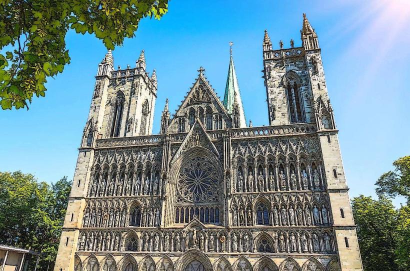
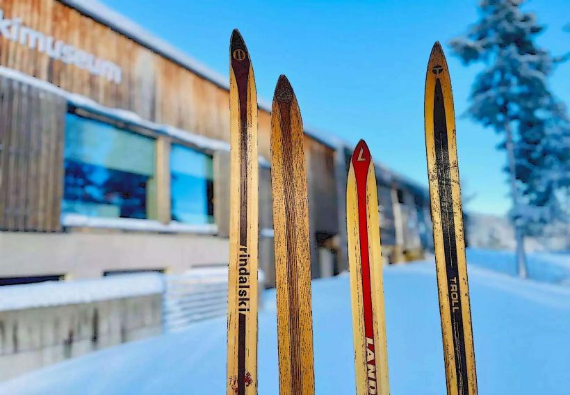
The St. Olav's Way is a network of historical pilgrimage routes in Norway, culminating at Nidaros Cathedral in Trondheim.
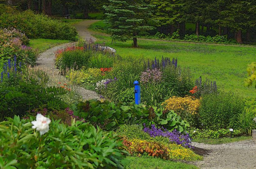
These routes traverse diverse Norwegian landscapes, leading pilgrims to the shrine of St. Olav. The paths are typically unpaved, consisting of gravel, dirt, or forest trails, with some sections on minor paved roads. Distinctive waymarkers, often featuring a St. Olav's cross symbol, guide pilgrims along the routes. The visual character shifts from dense forests and agricultural fields to mountainous terrain, with varying vegetation density and natural water features.
Location & Access Logistics
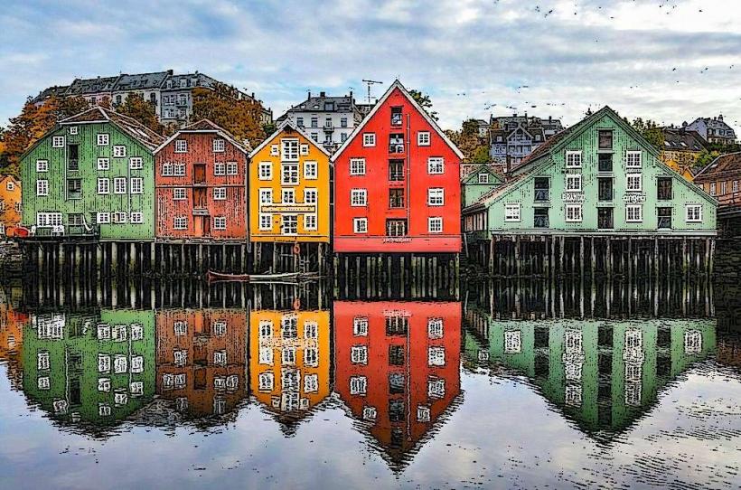
The St. Olav's Way comprises several main routes, all converging on Trondheim. The most prominent, Gudbrandsdalsleden, begins in Oslo and covers approximately 643 km. Access points are numerous along each route, often in towns or villages served by regional bus or train lines. For the final destination, Nidaros Cathedral in Trondheim, the city center is easily accessible. Parking in Trondheim is available in multi-story car parks or designated street zones. Local public transport in Trondheim includes a comprehensive bus network, with several lines stopping near the cathedral.
Historical & Ecological Origin
The St. Olav's Way originated in the 11th century following the death of King Olav II Haraldsson at the Battle of Stiklestad in 1030. He was canonized as St. Olav, and his shrine at Nidaros Cathedral became a significant pilgrimage destination. The routes developed organically over centuries, used by pilgrims from across Scandinavia and Europe. The ecological context varies significantly along the routes, encompassing coastal areas, agricultural plains, dense boreal forests, and sub-alpine mountain plateaus, reflecting Norway's diverse natural geography.
Key Highlights & Activities
Pilgrims can undertake long-distance walking or cycling on designated sections. Visiting medieval churches and historical farmsteads along the routes is a common activity. Obtaining a pilgrim passport and collecting stamps at various points is a key part of the experience. The routes offer opportunities for wildlife observation and experiencing rural Norwegian culture. The culmination of the journey is reaching Nidaros Cathedral and receiving a pilgrim certificate.
Infrastructure & Amenities
Infrastructure along the St. Olav's Way varies. Restrooms are available in towns, villages, and designated pilgrim hostels or guesthouses. Shade is intermittent, provided by forests or buildings, but open sections can be exposed. Cell phone signal (4G/5G) is generally reliable in populated areas but can be sporadic in remote mountain or forest sections. Food vendors, grocery stores, and restaurants are found in towns and villages along the routes, but not continuously. Many pilgrim accommodations offer self-catering facilities.
Best Time to Visit
The optimal period for walking the St. Olav's Way is from late May to early September. During these months, the weather is generally milder, snow has melted from higher elevations, and pilgrim accommodations and services are fully operational. Early morning or late afternoon hours are often preferred for hiking to avoid midday heat and for optimal natural light conditions, particularly for photography. There are no high/low tide requirements for the routes.
Facts & Legends
A verified historical oddity is the St. Olav's spring, a natural water source near Stiklestad, believed to have healing properties after St. Olav struck the ground with his spear. A local legend states that if a pilgrim drinks from this spring, they will be blessed with good health. A practical tip for visitors is to carry sufficient water and snacks, especially on longer, remote sections between villages, as services can be sparse.
Nearby Landmarks
- Nidaros Cathedral: 0km (the destination point)
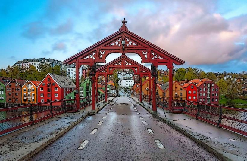
- Old Town Bridge (Gamle Bybro): 0.5km East
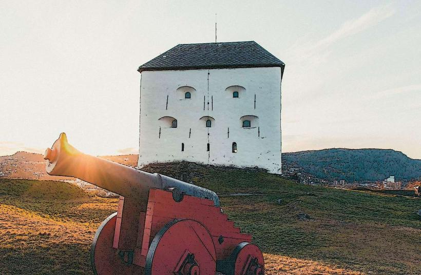
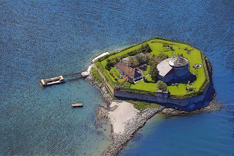
- Kristiansten Fortress: 1.2km East
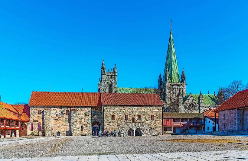
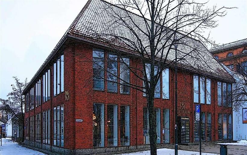
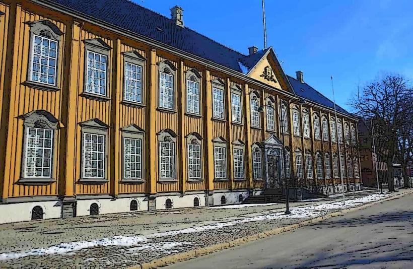
- Archbishop's Palace Museum: 0.1km South
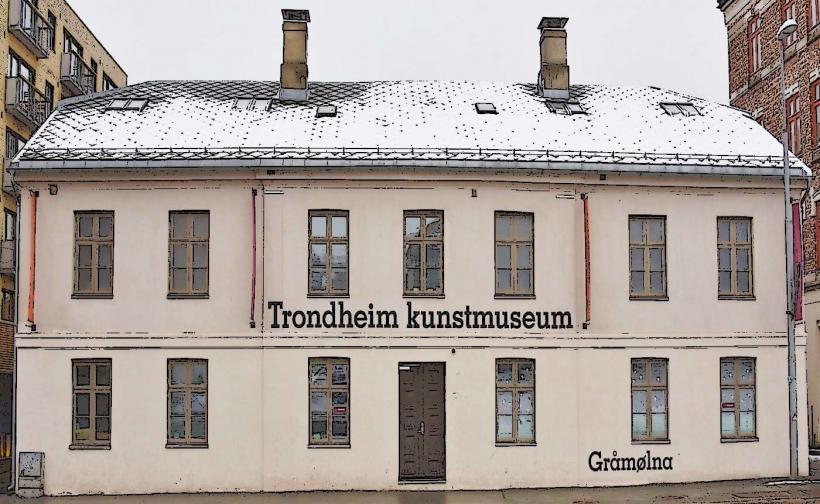
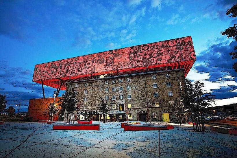
- Rockheim (National Museum of Popular Music): 1.5km North-West