Information
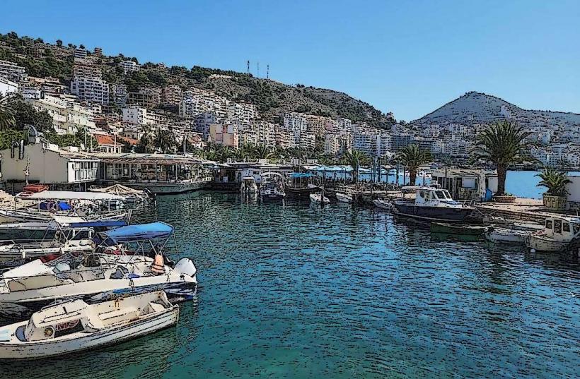
Landmark: Vjosa RiverCity: Sarande
Country: Albania
Continent: Europe
Vjosa River, Sarande, Albania, Europe
The Vjosa River is a major transboundary waterway that flows through southern Albania, originating in the Pindus Mountains of Greece and discharging into the Adriatic Sea. Contrary to common geographical associations, the river does not pass through the city of Sarandë; its delta is located approximately 100 kilometers to the north, near the city of Vlorë.
Visual Characteristics
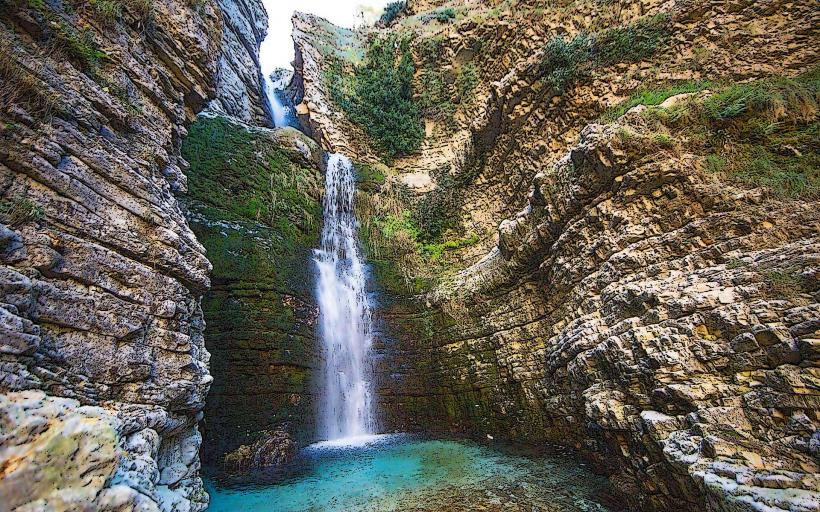
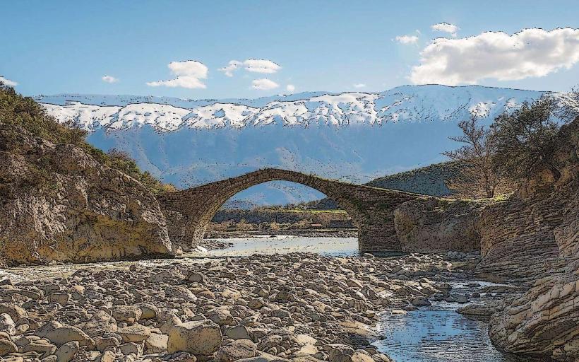
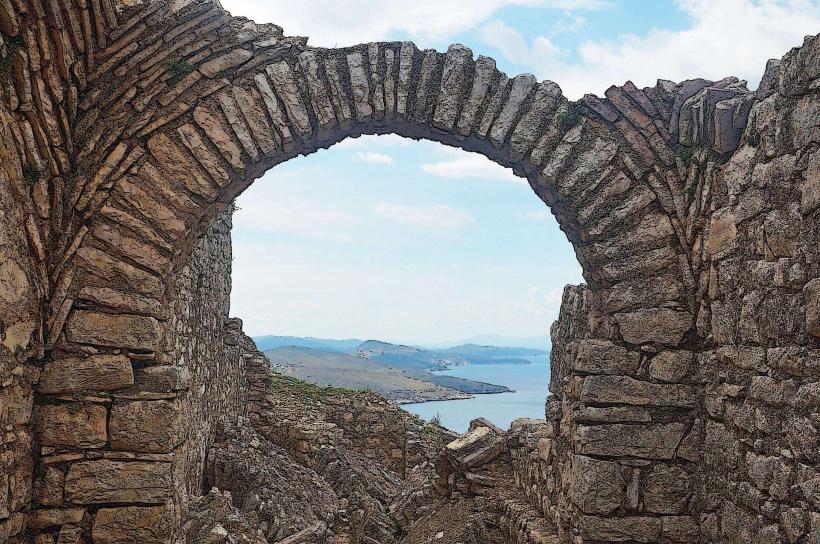
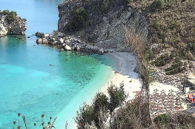
The river is characterized by an expansive, braided channel system featuring wide gravel banks composed of white limestone pebbles. Its water color varies from a milky turquoise in the upper canyons to a silty brown near the coastal plains during periods of high precipitation. The river remains largely unregulated, resulting in natural floodplains, meanders, and islands that shift according to seasonal flow volumes.
Location & Access Logistics
Access to the central and lower reaches is via the SH4 national highway (the North-South corridor). Key viewing and access points are found near the towns of Përmet, Tepelenë, and Selenicë. The river mouth is accessed via the Vlorë-Fier coastal road (SH8). There is no direct access from Sarandë without traveling north through the Gjirokastër or Vlorë districts. Public minibuses (furgons) connecting southern cities frequently cross the river at several reinforced concrete bridges.
Historical & Ecological Origin
The Vjosa is of tectonic and erosive origin, cutting through the limestone massifs of the southern Albanian mountains. In March 2023, it was designated as the Vjosa Wild River National Park, the first of its kind in Europe, to protect its status as one of the continent's last free-flowing rivers. Historically, the river (known as the Aous in antiquity) served as a vital trade and military corridor between the Ionian coast and the Balkan interior.
Key Highlights & Activities
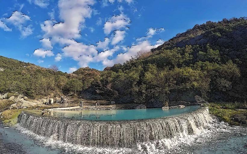
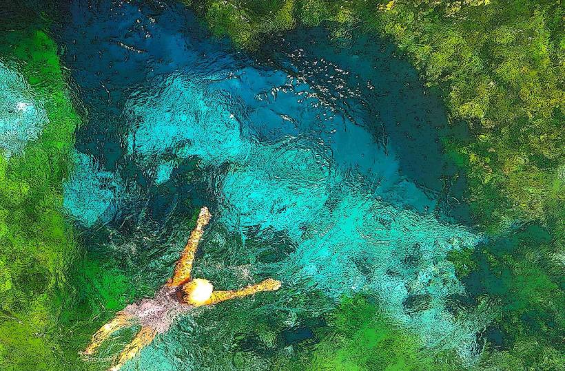
Rafting and kayaking are the primary activities, concentrated in the Gradec Canyon and the stretches near Përmet. Swimming occurs in calmer sections during summer, particularly near the Benja Thermal Baths (on the Langarica tributary). Scientific tourism and bird watching are prevalent due to the presence of over 1,100 species, including the endangered Egyptian vulture.
Infrastructure & Amenities
Infrastructure is localized to the towns along the riverbanks. Riverside campsites and small eco-lodges are situated near Përmet and Tepelenë. Public restrooms and food vendors are not present along the river itself but are available at gas stations and taverns along the SH4 highway. Cellular signal is consistent (4G/5G) in the valleys but can be lost in deep canyon segments.
Best Time to Visit
The best time for water sports is from April to June when snowmelt ensures high water levels. For general exploration and photography, September and October offer stable weather and clear water. High summer (July-August) results in lower water levels, exposing larger gravel banks.
Facts & Legends
A verified ecological fact is that the Vjosa is the only river in Europe outside of Russia that remains entirely unobstructed by dams or power plants along its entire course. Local folklore often personifies the river as a capricious entity; residents of the Vjosa valley traditionally avoided building permanent structures directly on the primary floodplain, a practice that preserved the river's natural state for centuries.
Nearby Landmarks
Benja Thermal Baths: 6.0km East (from Përmet)
Këlcyra Gorge: 0.5km North
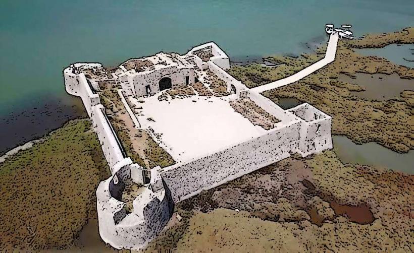
Castle of Tepelenë: 0.2km West
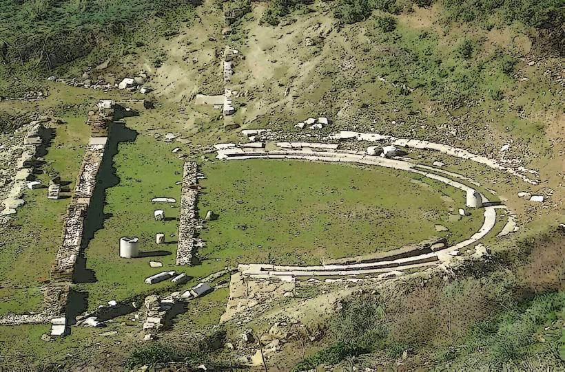
Ancient City of Apollonia: 12.0km North (from the delta)
Langarica Canyon: 6.5km East