Information
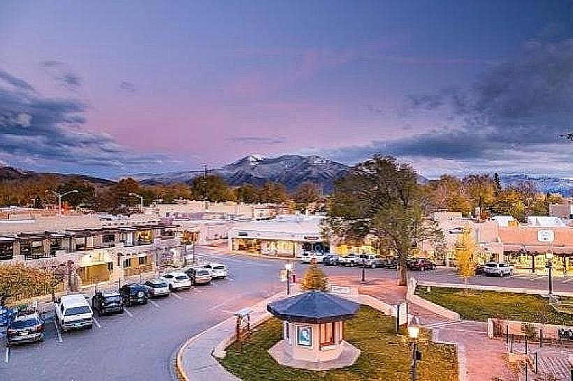
Landmark: Arroyos del Norte TrailsCity: Taos
Country: USA New Mexico
Continent: North America
Arroyos del Norte Trails, Taos, USA New Mexico, North America
Arroyos del Norte Trails is a network of hiking paths located in Taos, New Mexico, USA.
Visual Characteristics
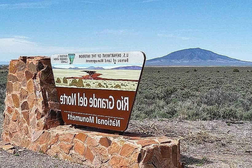
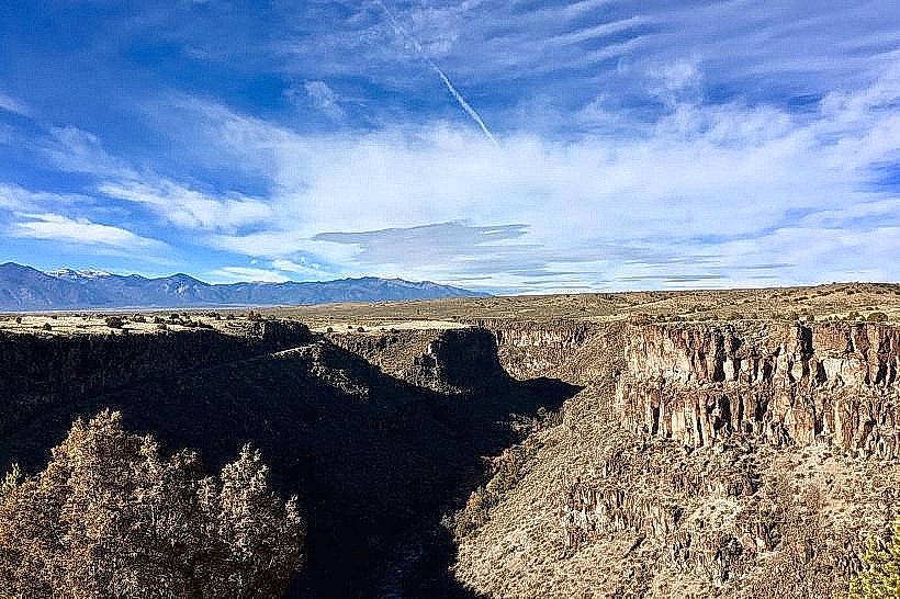
The trails traverse high desert terrain characterized by sandy soil, scattered piñon and juniper trees, and exposed rock formations. Elevation changes are moderate, with some sections featuring steeper inclines. The landscape offers expansive views of the surrounding Sangre de Cristo Mountains.
Location & Access Logistics
The primary trailhead is situated approximately 5 kilometers north of the Taos Plaza. Access is via County Road 110 (also known as Taos Canyon Road). Parking is available at a designated gravel lot adjacent to the trailhead. No public transport services directly reach the trailhead.
Historical & Ecological Origin
The area's geological origin is primarily sedimentary rock formations, shaped by erosion over millennia. Historically, these arroyos served as natural watercourses and were likely utilized by indigenous peoples for passage and resource gathering.
Key Highlights & Activities
Hiking is the primary activity. Specific trails include the North Loop (approximately 3.5 km) and the South Connector (approximately 2 km). The North Loop offers varied terrain and viewpoints. The South Connector links to other trail systems.
Infrastructure & Amenities
The trailhead has a small, unpaved parking area. No restrooms, shade structures, or food vendors are present at the trailhead or along the trails. Cell phone signal (4G/5G) is intermittent to non-existent within the trail system.
Best Time to Visit
For optimal hiking conditions and cooler temperatures, visit between April and October. Early morning or late afternoon provides the best natural light for photography, avoiding the midday sun. Avoid hiking during or immediately after rainfall due to potential flash flood risks in the arroyos.
Facts & Legends
Local lore suggests that during certain times of the year, the wind whistling through the arroyos creates sounds that resemble distant chanting, attributed by some to ancient spirits of the land.
Nearby Landmarks
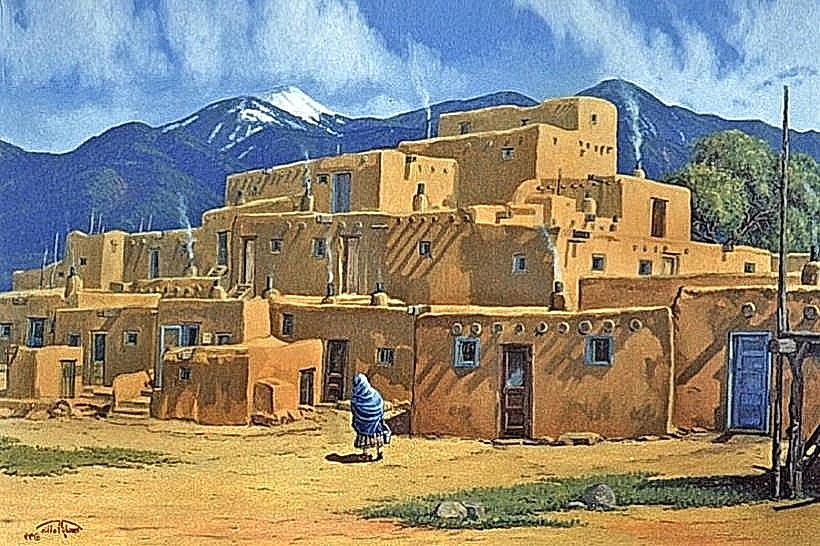
- Taos Pueblo (3.2km Southwest)
- Kit Carson Park (4.1km Southwest)
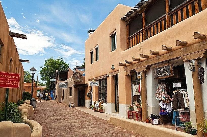
- Taos Plaza (4.8km Southwest)
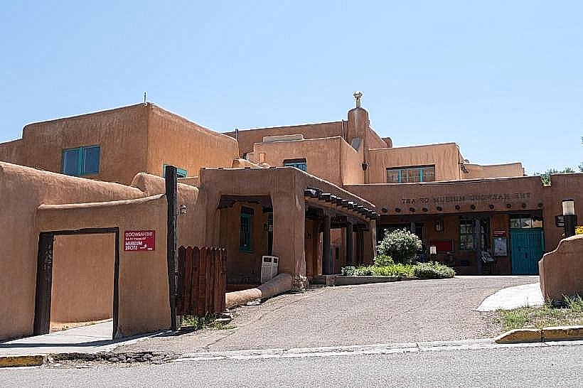
- Millicent Rogers Museum (4.5km Southwest)