Information
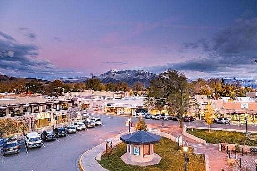
Landmark: Rio Grande del Norte National MonumentCity: Taos
Country: USA New Mexico
Continent: North America
Rio Grande del Norte National Monument, Taos, USA New Mexico, North America
The Rio Grande del Norte National Monument is a protected area located in Taos County, New Mexico, USA. It encompasses a significant portion of the Rio Grande Gorge.
Visual Characteristics
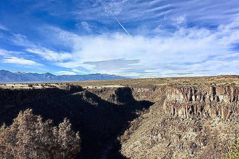
The monument's primary feature is the Rio Grande Gorge, a canyon approximately 50 miles long, up to 800 feet deep, and 0.5 miles wide. The canyon walls are composed of volcanic basalt flows and sedimentary rock layers, exhibiting shades of dark grey, brown, and red. The Rio Grande River flows at the canyon's base, appearing as a ribbon of varying colors from the rim, often reflecting the sky. The surrounding landscape consists of high desert plateau with sparse vegetation, including sagebrush, piñon pine, and juniper.
Location & Access Logistics
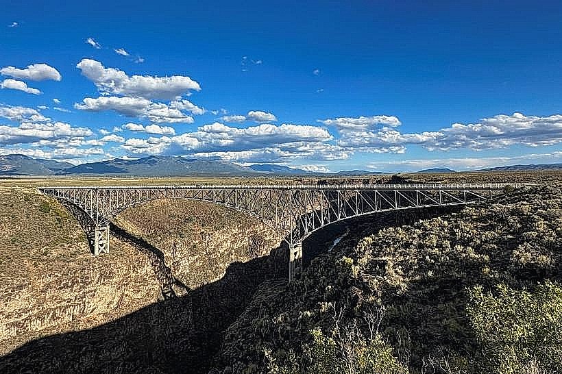
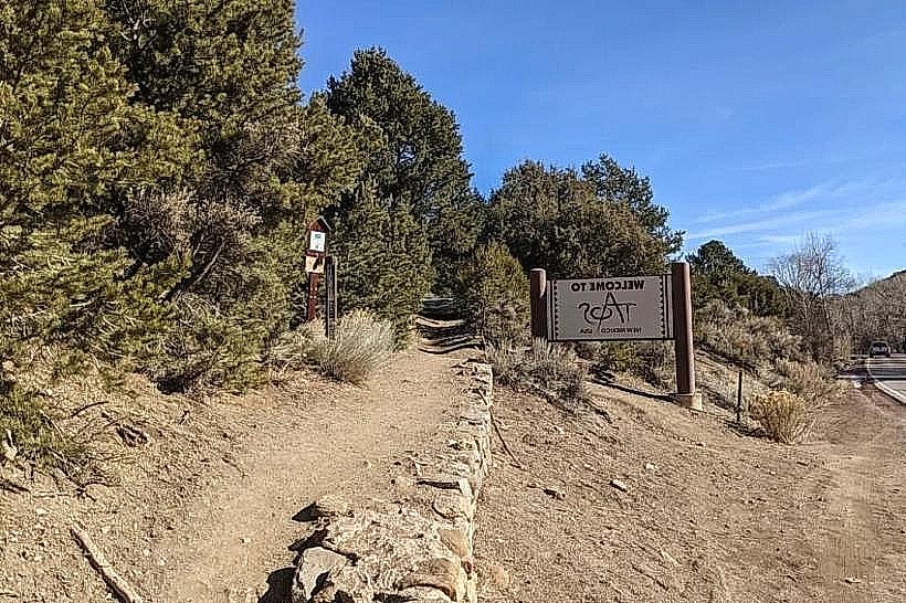
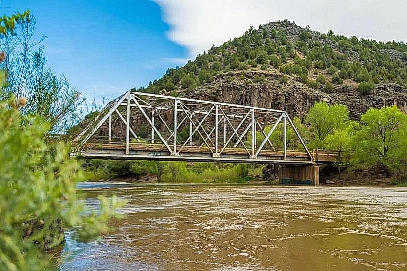
The monument is situated approximately 12 miles northwest of Taos, New Mexico. Access is primarily via State Road 68 (the "Taos High Road") and then turning onto County Road 570 (also known as the Gorge Road). The Taos Gorge Bridge, a prominent structure spanning the canyon, is a key access point. Parking is available at designated pull-offs along County Road 570 and at the visitor center. Public transport options are limited; private vehicle is the most practical means of access.
Historical & Ecological Origin
The Rio Grande del Norte National Monument was established by presidential proclamation in 2013. The gorge itself is a result of the Rio Grande River eroding through ancient lava flows and sedimentary rock over millions of years. The area also holds significant cultural history, with evidence of human habitation dating back thousands of years, including ancient pueblo sites and historic homesteads.
Key Highlights & Activities
Visitors can observe the Rio Grande Gorge from the Taos Gorge Bridge. Hiking trails are available, including the West Rim Trail, which offers views along the canyon edge. Opportunities for birdwatching and wildlife viewing exist. Photography is a common activity, particularly at sunrise and sunset for lighting conditions on the canyon walls.
Infrastructure & Amenities
Restrooms are available at the Taos Gorge Bridge overlook and the visitor center. Shade is minimal on the plateau and within the gorge itself. Cell phone signal (4G/5G) is intermittent to non-existent in many areas of the monument. Food vendors are not present within the monument; provisions should be made in Taos or nearby communities.
Best Time to Visit
For photography, early morning (sunrise) and late afternoon (sunset) provide optimal lighting on the canyon walls. The best months for weather are typically May through October, avoiding the harsher winter conditions. High tide is not a relevant factor for this land-based monument.
Facts & Legends
The Taos Gorge Bridge, completed in 1960, was once the longest single-span steel truss bridge in North America. A local legend suggests that the spirits of ancient peoples can be seen at certain times of the year near the canyon's edge.
Nearby Landmarks
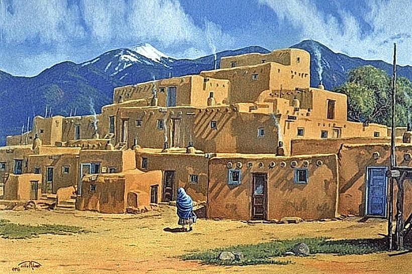
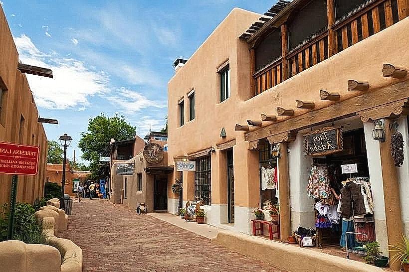
- Taos Pueblo (8km Southeast)
- Kit Carson Park (10km Southeast)
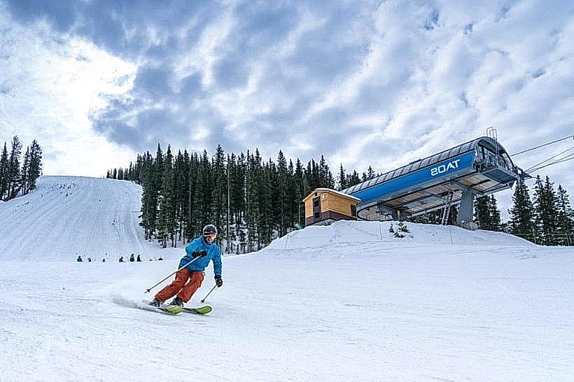
- Taos Ski Valley (25km Northeast)
- Carson National Forest (Adjacent)
- Wild Rivers Recreation Area (15km North)