Information
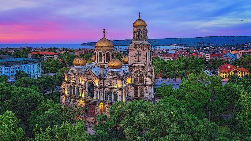
Landmark: Cape KaliakraCity: Varna
Country: Bulgaria
Continent: Europe
Cape Kaliakra, Varna, Bulgaria, Europe
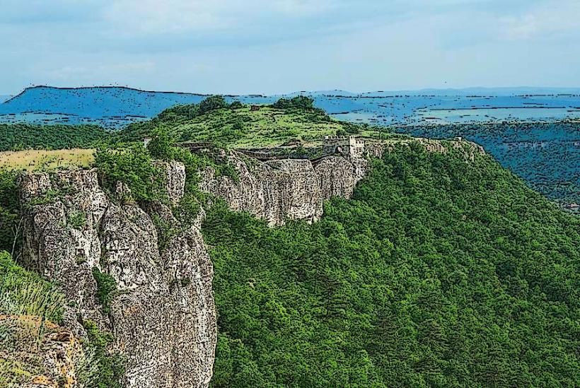
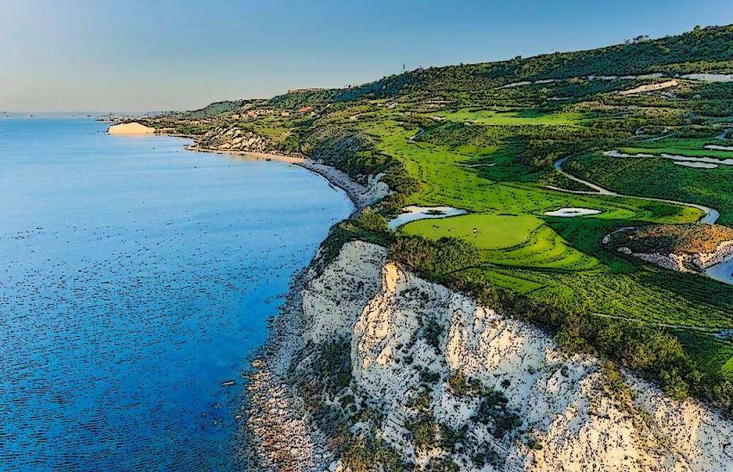
Cape Kaliakra is a long, narrow headland extending 2 km into the Black Sea, located in the Southern Dobruja region of northeastern Bulgaria. It is situated in the Dobrich Province-not Varna-approximately 75 km north of Varna and 12 km southeast of Kavarna.
Visual Characteristics
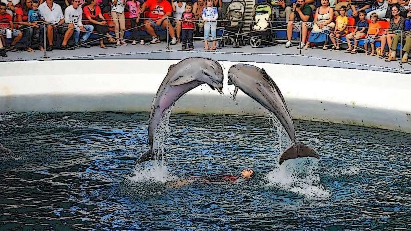
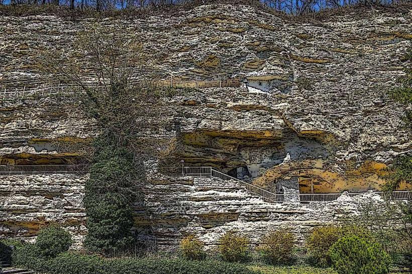
The cape is characterized by vertical limestone and conglomerate cliffs reaching heights of 70 meters. The rocks have a distinct reddish color due to iron oxides. The peninsula is extremely narrow, tapering to a point where the sea surrounds it on three sides. It is a floral and faunal reserve containing rare steppe vegetation and nesting sites for European shags and dolphins.
Location & Access Logistics
Access is via Route 9 to Kavarna, then following signs for "Kaliakra." The drive from Varna takes approximately 1 hour and 15 minutes. There is a single access road leading to a gated entry where a small fee is charged. A large parking lot is located near the tip of the cape. The site is mostly pedestrian, featuring a paved path that runs the length of the peninsula through ancient gate remains.
Historical & Ecological Origin
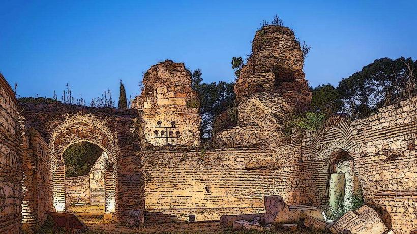
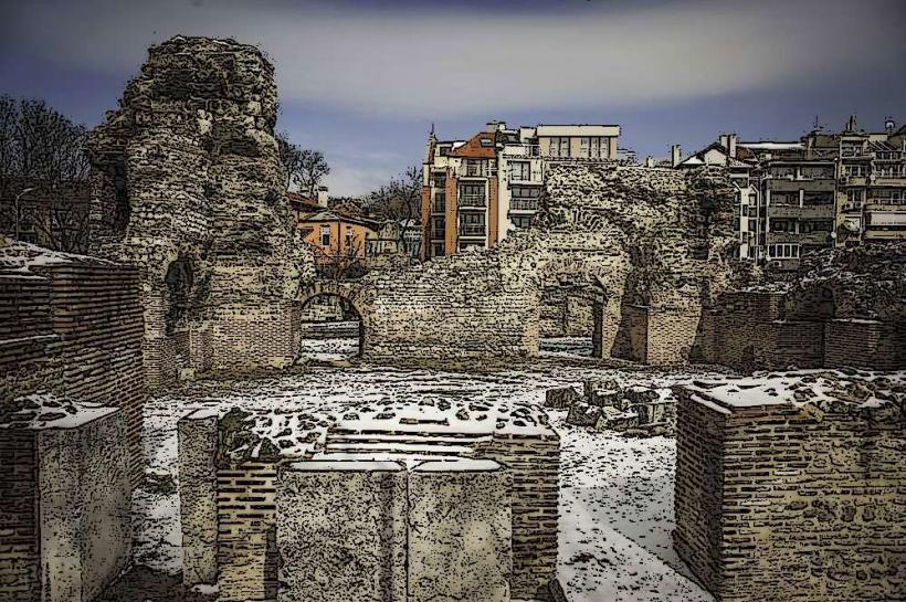
The site was a fortified settlement as early as the 4th century BC, known as Tirizis by the Thracians. It later served as a major stronghold for Romans, Byzantines, and the Despotate of Dobruja. Historically, it is the site of the 1791 naval Battle of Cape Kaliakra. Geologically, the cliffs are prone to erosion, which has created numerous sea caves and niches.
Key Highlights & Activities
The Fortress Gates: Well-preserved medieval defensive walls and gates marking different historical layers.
The Museum: A small museum housed in one of the caves, displaying archaeological finds from the site.
St. Nicholas Chapel: A small chapel at the very tip of the cape, marking the legendary site of the saint's death.
Wildlife Observation: One of the best locations in Bulgaria for spotting Black Sea dolphins from the cliffs.
Infrastructure & Amenities
The site features a panoramic restaurant located within the rock formations. Restrooms are available near the museum and restaurant. 5G cellular coverage is stable. The main walking paths are relatively flat but exposed to high winds. Informational plaques in multiple languages provide historical context.
Best Time to Visit
The cape is open daily from 09:00 to 19:00 (extended in summer). Sunset is the optimal time for photography, as the light hits the red cliffs directly. High winds are constant; even in summer, a windbreaker is recommended. The site is a key point on the Via Pontica migration route, making spring and autumn ideal for birdwatching.
Facts & Legends
The most famous legend is that of "The 40 Maidens," who tied their hair together and jumped into the sea to escape Ottoman capture. A logistical detail: because the cape is a military zone in parts, certain areas are fenced off and prohibited for civilian entry or drone flight.
Nearby Landmarks
Bolata Bay: 2.0 km North (A semi-circular beach and reserve)
Yailata Archaeological Reserve: 18.0 km North
Tyulenovo Cliffs: 25.0 km North
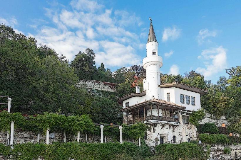
Balchik Botanical Garden: 35.0 km Southwest
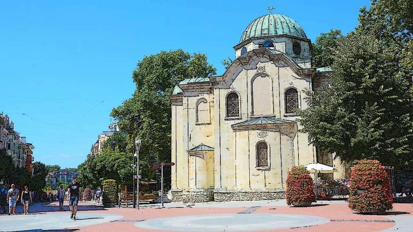
Kavarna: 12.0 km Northwest