Information
Landmark: Great Kills ParkCity: Staten Island
Country: USA New York
Continent: North America
Great Kills Park, Staten Island, USA New York, North America
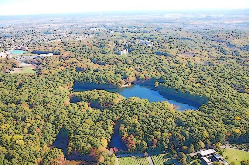
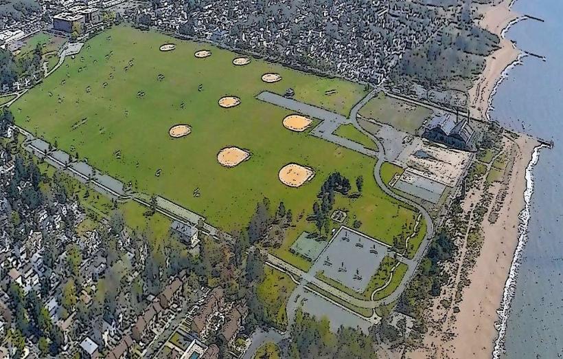
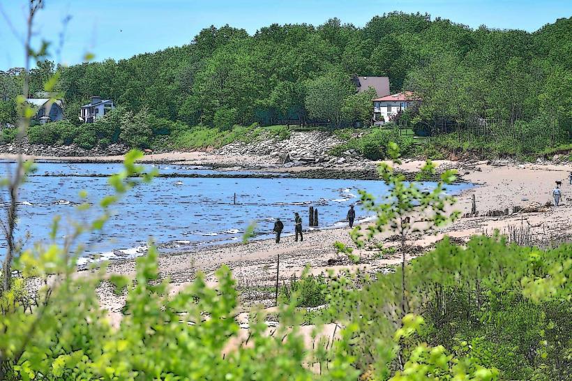
Great Kills Park is a public park located on the southeastern shore of Staten Island, New York City.
This 580-acre park features a shoreline, salt marshes, and wooded areas.
Visual Characteristics
The park's shoreline consists of sandy beaches and tidal flats. Inland, the terrain includes salt marsh ecosystems characterized by Spartina grasses and tidal creeks. Wooded sections are dominated by deciduous trees, with a canopy density that varies seasonally. The park's elevation is generally low, with elevations rarely exceeding 20 feet above sea level.
Location & Access Logistics
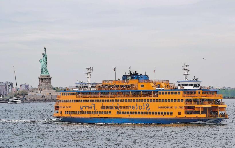
Great Kills Park is situated at the southern end of Staten Island, accessible via Hylan Boulevard. The park entrance is approximately 15 miles south of the Staten Island Ferry Terminal. Parking is available in designated lots throughout the park, with capacity varying by season. Public transport options include the MTA bus routes S56 and S59, which stop near park entrances on Hylan Boulevard.
Historical & Ecological Origin
The land comprising Great Kills Park was acquired by the National Park Service in the mid-20th century as part of the Gateway National Recreation Area. Historically, the area was utilized for various purposes, including agricultural and recreational activities. Ecologically, the park encompasses a significant portion of the Jamaica Bay watershed, supporting estuarine habitats critical for migratory birds and marine life.
Key Highlights & Activities
Activities include fishing from designated piers and shorelines, kayaking and canoeing in the bay, and birdwatching in the salt marsh areas. Designated trails are available for walking and cycling. Swimming is permitted at the designated beach area during the summer season, subject to lifeguard availability.
Infrastructure & Amenities
Restrooms are located at the main beach area and near the marina. Shade is available in wooded areas and at designated picnic sites. Cell phone signal (4G/5G) is generally available throughout the park, though it may be intermittent in denser wooded sections. Food vendors are typically present near the main beach during peak season; otherwise, visitors should bring their own provisions.
Best Time to Visit
For birdwatching, the spring and fall migration seasons (April-May and September-October) offer the highest species diversity. For beach activities, the months of July and August provide the warmest weather. Early morning and late afternoon offer optimal lighting conditions for photography, particularly along the shoreline.
Facts & Legends
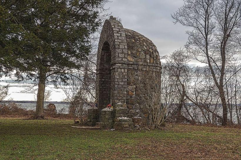
During the Prohibition era, the park's secluded coves were rumored to be landing sites for rum-runners. A specific point of interest is the remains of a World War II-era anti-aircraft gun emplacement, a remnant of the area's military past.
Nearby Landmarks
- Ferry Point Park (1.2km West)
- Wolfe's Pond Park (2.5km Northwest)
- Conference House Park (4.0km Southwest)
- Clay Pit Ponds State Park Preserve (4.8km West)