Information
Landmark: Staten Island GreenbeltCity: Staten Island
Country: USA New York
Continent: North America
Staten Island Greenbelt, Staten Island, USA New York, North America
The Staten Island Greenbelt is a 2,800-acre network of parks and natural areas located in the central and eastern sections of Staten Island, New York City.
Visual Characteristics
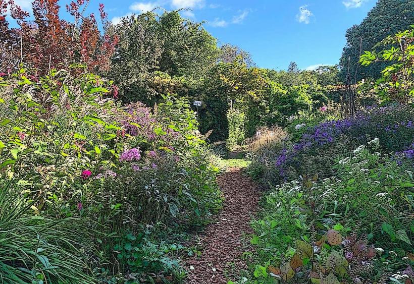
The Greenbelt comprises diverse natural landscapes including deciduous forests, wetlands, meadows, and ponds. Tree species include oak, maple, and beech. Wetland areas feature cattails and various sedges. Topography varies from rolling hills to flatter marshland.
Location & Access Logistics
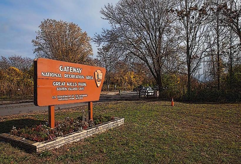
The Greenbelt is accessible via multiple entrances. The main access points include the High Rock Park entrance at 200 Nevada Avenue, the Greenbelt Nature Center at 700 Rockland Avenue, and the Willowbrook Park entrance at 200 Brompton Avenue. These locations are reachable by car via the Staten Island Expressway (Exit 7 for Richmond Avenue, then east on Rockland Avenue) or the Korean War Veterans Memorial Highway (Exit 1 for Richmond Avenue, then east on Rockland Avenue). Public transportation options include the S57 bus to Richmond Avenue and Rockland Avenue, or the S54 bus to Willowbrook Park.
Historical & Ecological Origin
The Staten Island Greenbelt was established through a series of land acquisitions and designations beginning in the mid-20th century, with the goal of preserving the island's remaining natural areas. Ecologically, it represents a significant remnant of the pre-colonial forest ecosystem of the region, supporting a variety of flora and fauna.
Key Highlights & Activities
Activities include hiking on marked trails, birdwatching, nature photography, and educational programs offered at the Greenbelt Nature Center. Specific trails include the High Rock Loop (3.2km), the Yellow Trail in Willowbrook Park (4.8km), and the Blue Trail connecting various sections.
Infrastructure & Amenities
Restrooms are available at the Greenbelt Nature Center and High Rock Park. Sheltered picnic areas are present in Willowbrook Park. Cell phone signal (4G/5G) is generally available throughout most of the accessible park areas, though it may be intermittent in denser forest sections. No food vendors are located within the park boundaries; nearest options are outside the park entrances.
Best Time to Visit
For photography, early morning or late afternoon light provides optimal illumination of the forest canopy and open meadows. The best months for visiting are April through October, offering pleasant temperatures and active wildlife. Spring (April-May) is ideal for observing wildflowers, while autumn (September-October) provides fall foliage.
Facts & Legends
A notable feature is the presence of glacial erratics, large boulders transported and deposited by glaciers during the last ice age, some weighing many tons. One such boulder, known as the "Boulder of the Gods," is located near the Greenbelt Nature Center.
Nearby Landmarks
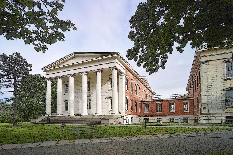
- Historic Richmond Town (1.5km Southwest)
- Conference House Park (4.0km South)
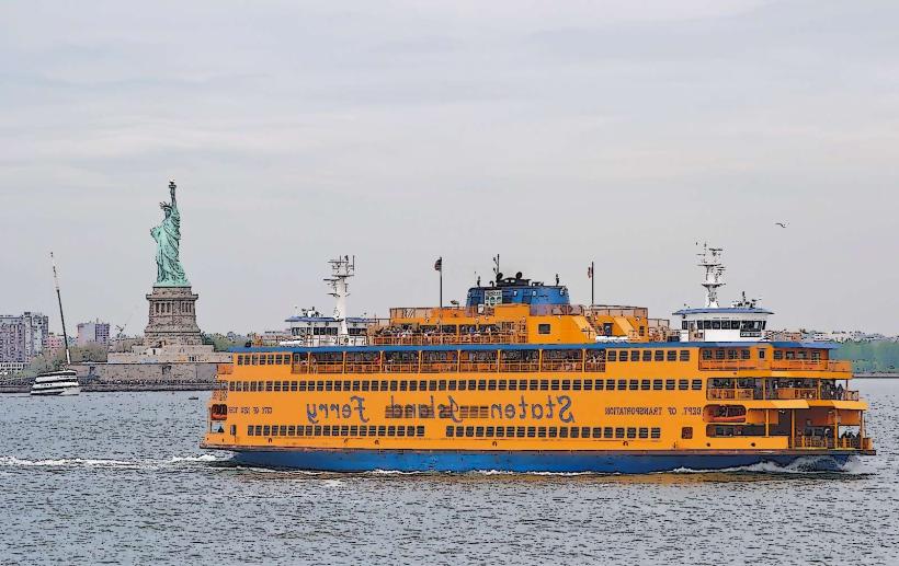
- Ferry Terminal (8.0km East)
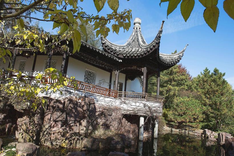
- Snug Harbor Cultural Center & Botanical Garden (6.5km Northeast)