Information
Landmark: Mo Chhu RiverCity: Punakha
Country: Bhutan
Continent: Asia
Mo Chhu River, Punakha, Bhutan, Asia
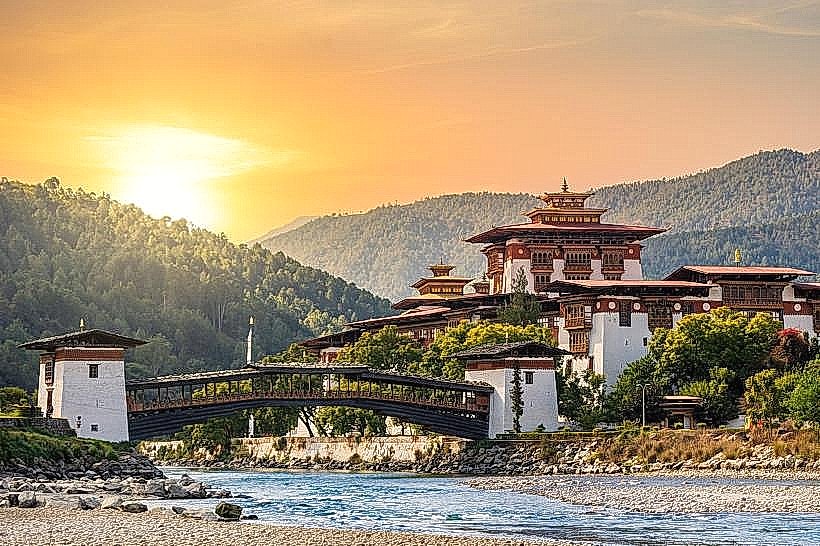
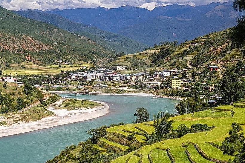
The Mo Chhu River is a significant waterway flowing through the Punakha Valley in Bhutan. It is one of the two main rivers that converge to form the Puna Tsang Chhu.
Visual Characteristics
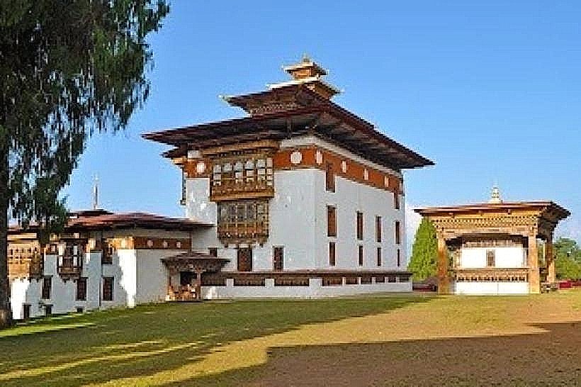
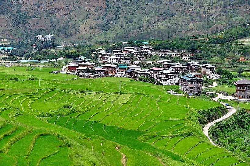
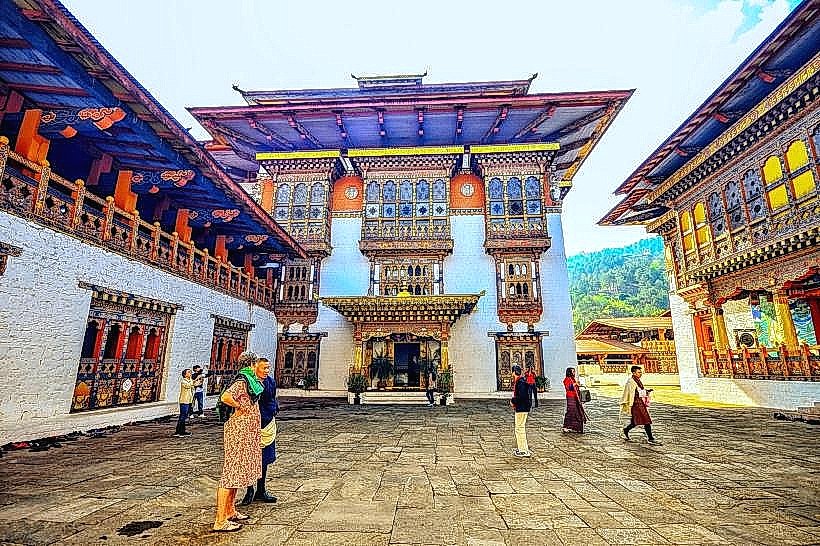
The Mo Chhu River exhibits a variable water color, often appearing milky or grey due to glacial sediment, particularly after rainfall or snowmelt. Its width fluctuates, but it is generally a substantial river with a moderate current. The riverbanks are characterized by alluvial plains and are bordered by agricultural land and sparse vegetation, with the Punakha Dzong situated prominently at its confluence with the Pho Chhu River.
Location & Access Logistics
The Mo Chhu River is located in the Punakha Valley, approximately 70 kilometers east of Thimphu, the capital of Bhutan. Access is primarily via the Punakha-Wangdue road (National Highway 1). The river is visible from the road and the Punakha Dzong. Parking is available near the Dzong. Public transport options are limited; private vehicles or taxis are the most common means of access.
Historical & Ecological Origin
The Mo Chhu River originates from the glaciers of the Himalayas in northern Bhutan. It is a glacial river, meaning its flow and sediment load are directly influenced by glacial melt and erosion. Its ecological significance lies in its role as a water source for the fertile Punakha Valley, supporting agriculture and local ecosystems.
Key Highlights & Activities
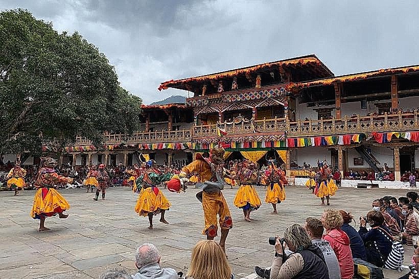
The primary activity associated with the Mo Chhu River is viewing the Punakha Dzong, which is strategically located at its confluence with the Pho Chhu. White-water rafting and kayaking are sometimes offered on sections of the river, depending on water levels and seasonal conditions. The riverbanks are suitable for walking and observing local life and agricultural practices.
Infrastructure & Amenities
Basic amenities are available in the vicinity of the Punakha Dzong, including restrooms and small food stalls selling local snacks. Shade is available from trees along the riverbanks in certain areas. Cell phone signal (4G) is generally available in the Punakha Valley.
Best Time to Visit
The best time to visit for clear river views and pleasant weather is during the dry seasons: March to May and September to November. For photography of the Punakha Dzong with the river, early morning or late afternoon light provides optimal conditions. Rafting activities are typically seasonal and depend on water flow, usually best in spring or autumn.
Facts & Legends
The Mo Chhu River is considered sacred by the local population. Legend states that the river's waters possess purifying qualities. A specific tip for visitors is to observe the distinct color difference where the Mo Chhu (often milkier) meets the Pho Chhu (often clearer or greener) at the base of the Punakha Dzong.
Nearby Landmarks
- Punakha Dzong (0.1km West)
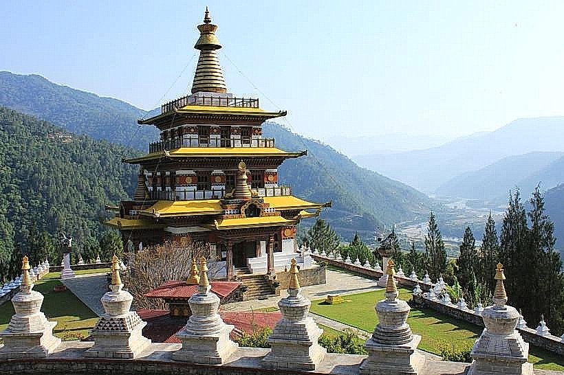
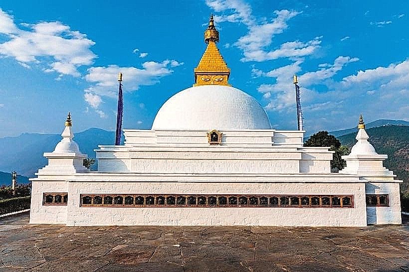
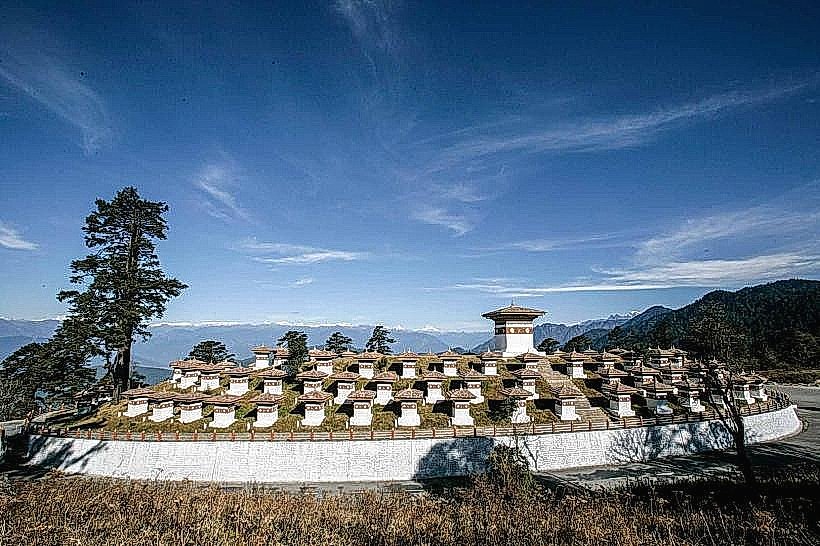
- Khamsum Yulley Namgyal Chorten (2.5km East)
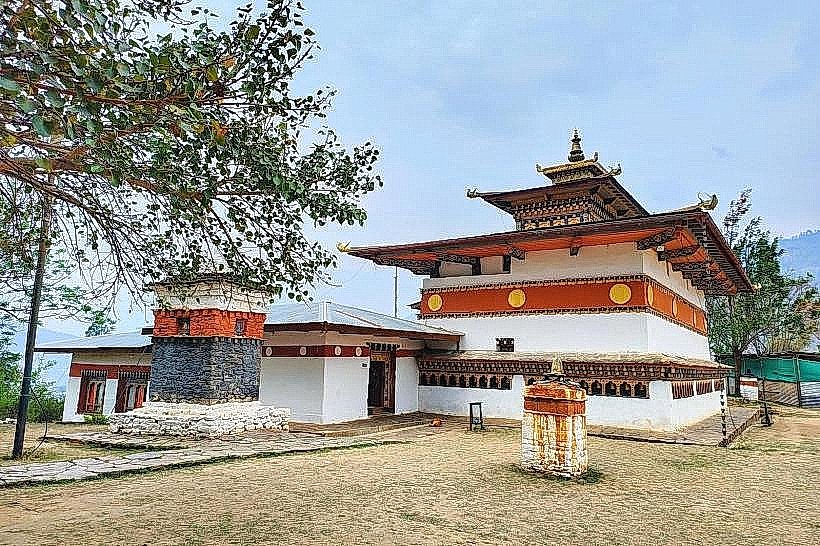
- Chimi Lhakhang (Fertility Temple) (4.0km South-West)
- Sangchhen Dorji Lhuendrup Lhakhang Nunnery (4.5km South)