Information
Landmark: Pho Chhu River (Father River)City: Punakha
Country: Bhutan
Continent: Asia
Pho Chhu River (Father River), Punakha, Bhutan, Asia
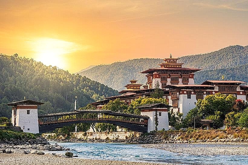
The Pho Chhu River, also known as the Father River, is a significant waterway flowing through the Punakha Valley in Bhutan.
Its confluence with the Mo Chhu River forms the Puna Tsang Chhu River.
Visual Characteristics
The Pho Chhu River exhibits a variable water color, often appearing milky or grey due to glacial sediment. Its width fluctuates, with wider sections in the valley floor and narrower, more turbulent stretches in upstream gorges. The riverbanks are characterized by alluvial plains and steeper, forested slopes.
Location & Access Logistics
The Pho Chhu River is accessible from Punakha town. The main access point is near the Punakha Dzong, approximately 2 kilometers from the town center. Road access is via National Highway 1, which passes through Punakha. Parking is available near the Punakha Dzong. Public transport options include local buses connecting Punakha to other districts; however, direct river access points may require local taxi hire or walking.
Historical & Ecological Origin
The Pho Chhu River originates from the glaciers of the Himalayas in northern Bhutan. It is a glacial-fed river, meaning its water levels and sediment load are directly influenced by glacial melt and erosion. Its ecological significance lies in its role as a freshwater source and its contribution to the valley's agricultural irrigation systems.
Key Highlights & Activities
White-water rafting is a primary activity on the Pho Chhu River, with sections suitable for various skill levels. Kayaking is also possible. The riverbanks offer opportunities for walking and observing local flora and fauna. Fishing is permitted in designated areas.
Infrastructure & Amenities
Restrooms are available at the Punakha Dzong complex. Shade is limited along the riverbanks, particularly in open valley sections. Cell phone signal (4G/5G) is generally available in Punakha town and along the main highway, but may be intermittent closer to the river in remote areas. Food vendors are present in Punakha town and near tourist hubs like the Dzong.
Best Time to Visit
The best months for rafting and kayaking are typically from March to May and September to November, when water levels are optimal and weather conditions are favorable. Mid-morning offers good lighting for photography along the river.
Facts & Legends
The Pho Chhu River is considered sacred by the Bhutanese people. Local folklore associates the river with masculine energy, complementing the feminine energy attributed to the Mo Chhu River. The confluence of these two rivers is believed to be a powerful spiritual site.
Nearby Landmarks
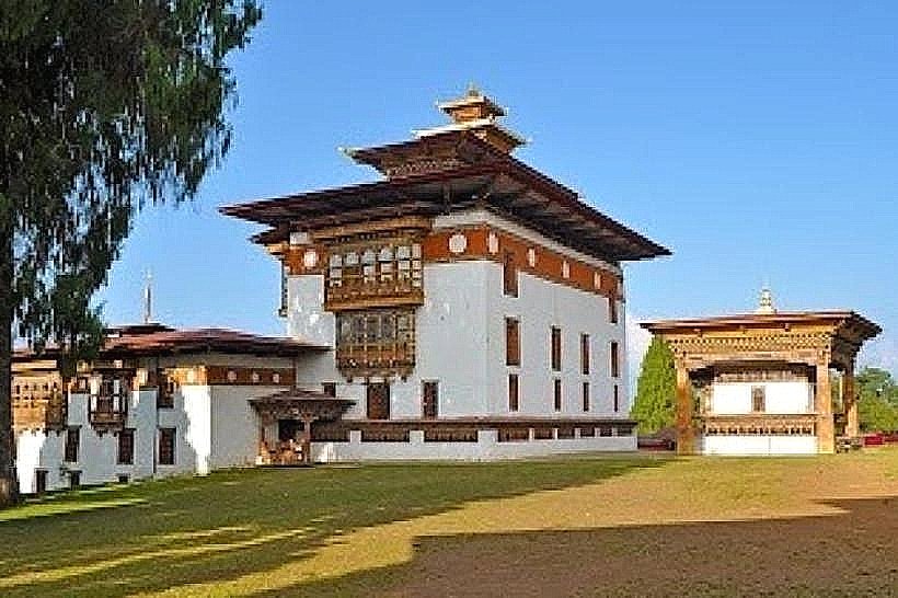
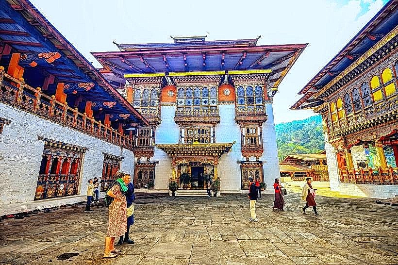
- Punakha Dzong (0.5km West)
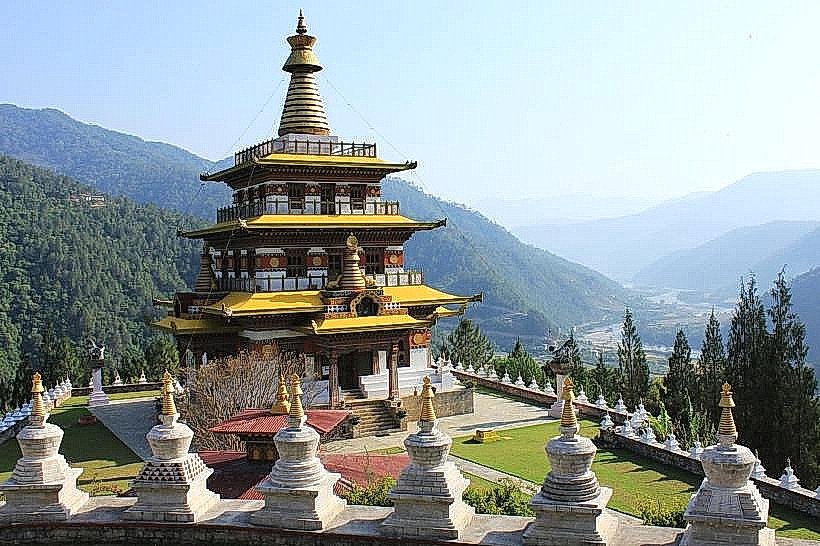
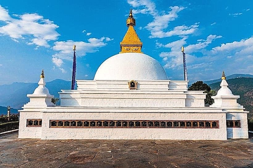
- Khamsum Yulley Namgyal Chorten (3km East)
- Chimi Lhakhang (Fertility Temple) (5km South)
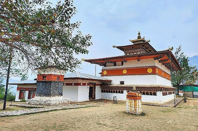
- Sangchhen Dorji Lhuendrup Lhakhang Nunnery (4km Southeast)