Information
Landmark: Tanners' BridgeCity: Tirana
Country: Albania
Continent: Europe
Tanners' Bridge, Tirana, Albania, Europe
The Tanners' Bridge (Ura e Tabakëve) is an 18th-century Ottoman stone footbridge located in central Tirana, Albania. It stands as a preserved fragment of the city's ancient infrastructure, once spanning the Lana River to connect the town with the eastern highlands.
Visual Characteristics
The bridge is a triple-arched structure built from local river stones and mortar, featuring a distinct "humpback" or "camel-back" silhouette. It measures approximately 8 meters in length and 2 meters in width, with a primary central arch and two smaller symmetrical side arches. The walking surface is paved with irregular cobblestones, and the stone parapets on either side are low, reaching roughly 0.5 meters in height.
Location & Access Logistics
The site is situated on Bulevardi Jean D'Arc, approximately 0.6km southeast of Skanderbeg Square. It is positioned directly adjacent to the modern Lana River channel, though the water no longer flows beneath it due to the river's diversion in the 1930s. The bridge is easily accessible via city bus lines stopping at the "Brryli" or "Ali Demi" stations. It is a pedestrian-only monument located in a small sunken plaza; parking is available at the nearby Toptani Shopping Center or the public lot at the Pyramid of Tirana.
Historical & Ecological Origin
Constructed in the 18th century during the Ottoman administration, the bridge was part of the Shëngjergj road that brought livestock and produce into the city. It derives its name from the Tanners' Guild (Tabakët), who operated their leather-working shops in the immediate vicinity to utilize the river water. While the bridge was originally a vital hydrological and commercial crossing, it was bypassed and preserved as a cultural monument when the Lana River was straightened and encased in concrete.
Key Highlights & Activities
Visitors can walk across the original cobblestone surface and observe the traditional Ottoman masonry. The bridge is a primary stop for historical walking tours and is a popular site for wedding and architectural photography. The surrounding plaza features several benches and informational plaques detailing the bridge's restoration.
Infrastructure & Amenities
The monument is located within a small landscaped public square that offers stone seating and 5G cell signal. There are no restrooms or food vendors directly on the bridge site, but the area is bordered by numerous traditional restaurants and modern cafes, including those in the historic "Tabakëve" district. Shade is limited to the shadows cast by nearby apartment blocks and a few small trees in the plaza.
Best Time to Visit
The best time for photography is during the early morning or late afternoon when the low sun angle emphasizes the texture of the river stones. The site is illuminated at night with ground-level floodlights, making it a safe and visually distinct location for evening walks. It is accessible year-round and does not require an entry fee.
Facts & Legends
A verified historical oddity is that the bridge survived the massive urban remodeling of the 1930s because local residents campaigned to save it as a symbol of Tirana's artisanal roots. A local "secret" is the presence of several traditional "Oda" style restaurants nearby that are built to resemble the interior of the tanners' houses that once lined this road.
Nearby Landmarks
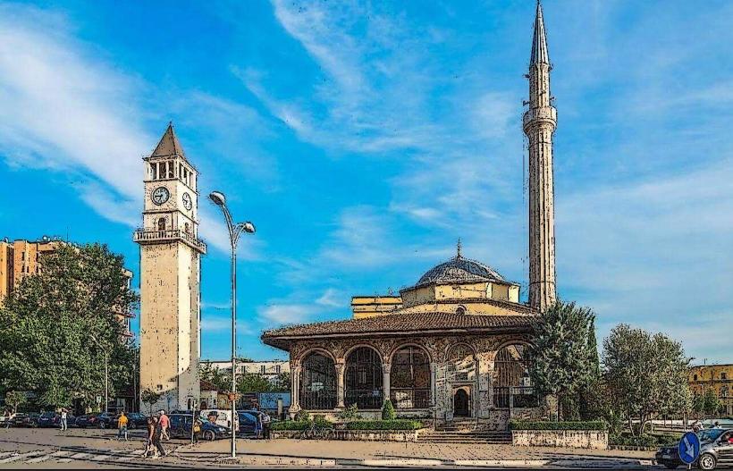
Et'hem Bey Mosque: 0.5km Northwest
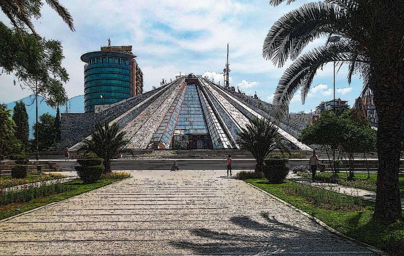
Pyramid of Tirana: 0.4km Southwest
Toptani Shopping Center: 0.3km North
George W. Bush Street: 0.2km West
Bunk’Art 2: 0.5km Northwest