Information
Landmark: Bučje VillageCity: Pljevlja
Country: Montenegro
Continent: Europe
Bučje Village, Pljevlja, Montenegro, Europe
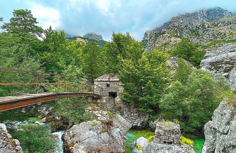
Bučje is a rural mountain settlement located in the westernmost part of the Pljevlja Municipality, Montenegro, near the border with Bosnia and Herzegovina. It is situated within the high-altitude karst plateau region, characterized by traditional livestock farming and timber production.
Visual Characteristics
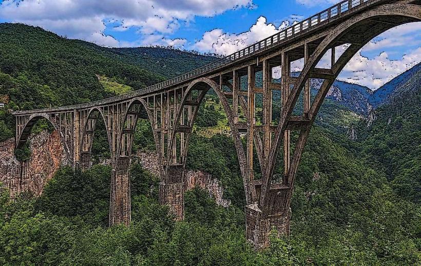
The landscape is defined by dense coniferous forests, limestone outcroppings, and rolling alpine meadows. Architecture in the village consists of traditional stone-base houses with steep wooden or tin roofs designed to shed heavy snow. Elevations in the area vary significantly, with the village center positioned near 1,200 meters above sea level.
Location & Access Logistics
Bučje is located approximately 40km west of Pljevlja. Access is via the R-3 regional road toward Metaljka (the border crossing). The final approach involves local narrow asphalt and macadam roads. There is no formal public transport; access is restricted to private off-road vehicles or local taxi services. Parking is informal along village tracks.
Historical & Ecological Origin
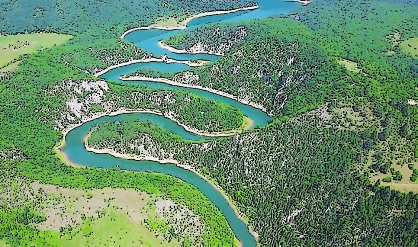
The village is an ancient highland settlement with a history tied to transhumance pastoralism. Geologically, it sits on the Dinaric Karst, featuring sinkholes and underground water channels. Historically, it served as a strategic point on the old caravan routes connecting the Sanjak of Novi Pazar with the Drina River valley.
Key Highlights & Activities
Mountain biking and trekking are the primary activities due to the proximity to the Kovač mountain range. The area is a hub for foraging wild blueberries and medicinal herbs during summer months. Observation of traditional dairy production, specifically the making of Pljevlja cheese, occurs at local farmsteads.
Infrastructure & Amenities
Infrastructure is minimal with no dedicated restrooms, visitor centers, or paved sidewalks. Shade is abundant under natural forest cover. Cell phone signal is intermittent and varies by carrier, with 4G available only on higher ridges. No commercial food vendors exist; supplies must be purchased in Pljevlja.
Best Time to Visit
June through September offers the most stable weather for navigating the unpaved access roads. For photography, the autumn months (October) provide high-contrast colors in the beech and pine forests. Winter visits are discouraged without professional 4x4 equipment due to snow drifts that frequently exceed one meter.
Facts & Legends
The village is situated near the "Metaljka" pass, which has historically functioned as a "triple border" zone between different empires and states. Local lore often speaks of hidden hajduk (outlaw) caves in the surrounding limestone cliffs used during the Ottoman period for evasion and storage of goods.
Nearby Landmarks
Metaljka Border Crossing: 5.0km West
Kovač Mountain Peak: 4.5km North
Boljanići Village: 12.0km East
Pliješ Mountain: 15.0km Southeast