Information
Landmark: Čehotine RiverCity: Pljevlja
Country: Montenegro
Continent: Europe
Čehotine River, Pljevlja, Montenegro, Europe
The Čehotina River is a 125-kilometer long waterway that flows through northern Montenegro and eastern Bosnia and Herzegovina. It is a major right-bank tributary of the Drina River, originating from the mountains south of Pljevlja.
Visual Characteristics
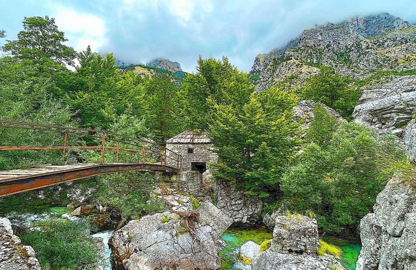
The river is characterized by clear, cold water with a turquoise tint in deeper sections. The riverbed consists of grey limestone pebbles and large boulders, while the banks vary from steep, rocky canyon walls to flat, alluvial plains. Vegetation along the banks is dense, primarily consisting of willow, alder, and beech trees.
Location & Access Logistics
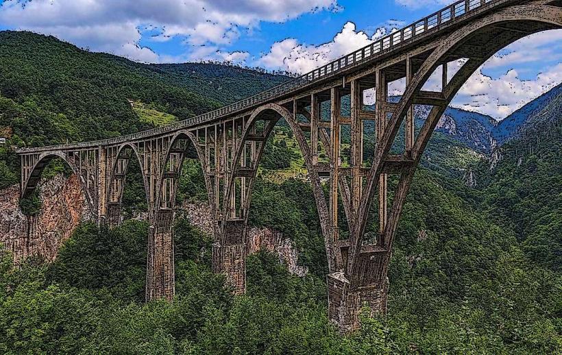
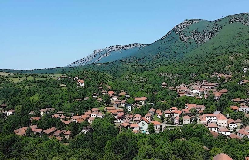
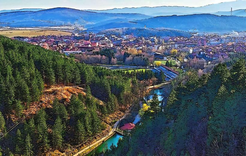
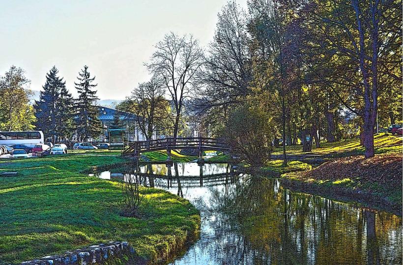
The river flows directly through the town of Pljevlja, passing the southern and western edges of the urban center. It is accessible via the R-3 regional road and several local bridges within the town, such as the one near the Milet Garden. For the more remote canyon sections, visitors use the road toward Gradac (R-21). Parking is available in public municipal lots in Pljevlja.
Historical & Ecological Origin
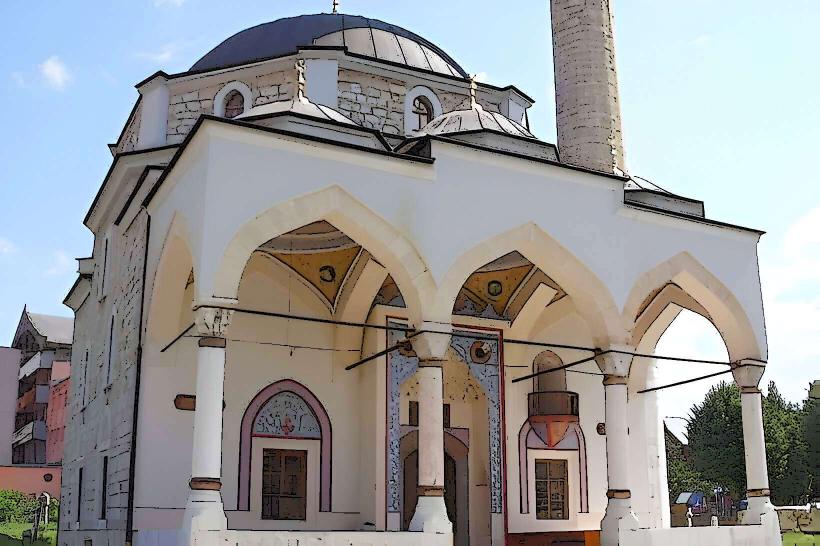
Geologically, the Čehotina is an alpine river that has carved its path through Mesozoic limestone. Historically, the river was essential for the operation of numerous watermills and served as a primary water source for the Husein-Paša Mosque's gardens. It is a significant habitat for salmonid fish species, particularly the huchen and brown trout.
Key Highlights & Activities
Fly fishing is a primary activity, with strictly regulated zones near the town center. The "Meanders of the Čehotina" (Meandri Ćehotine) overlook provides a vantage point for viewing the river's tight U-shaped loops. Kayaking and rafting occur during high-water periods in spring, specifically in the sections downstream toward the Bosnian border.
Infrastructure & Amenities
Within the Pljevlja town limits, the river is flanked by paved walking paths and public benches. There is reliable 5G cell coverage throughout the urban sections. Outside of the town, infrastructure is absent; there are no restrooms or food vendors along the canyon stretches. Visitors must carry all necessary supplies when entering the rural sections.
Best Time to Visit
The best time for fishing and water activities is from May to October. For photography, the autumn foliage in the canyon sections peaks in mid-October. The Meanders overlook is best visited in the early morning to avoid harsh shadows in the deep gorge. High water levels occur in April due to snowmelt from the surrounding mountains.
Facts & Legends
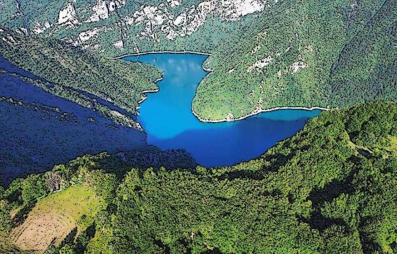
A local historical curiosity is the Otilovići Dam, an artificial lake created on the river that submerged parts of the ancient Roman road. A "secret" spot is the small beach area near the village of Gradac, which locals use for swimming during peak summer heat, despite the river's consistently low water temperature.
Nearby Landmarks
Otilovići Lake: 7.5km Southeast
Husein-Paša Mosque: 0.4km East
Meandri Ćehotine Overlook: 12.0km South
Milet Garden: 0.2km North