Information
Landmark: Canyon of the River ChurunCity: Canaima National Park
Country: Venezuela
Continent: South America
Canyon of the River Churun, Canaima National Park, Venezuela, South America
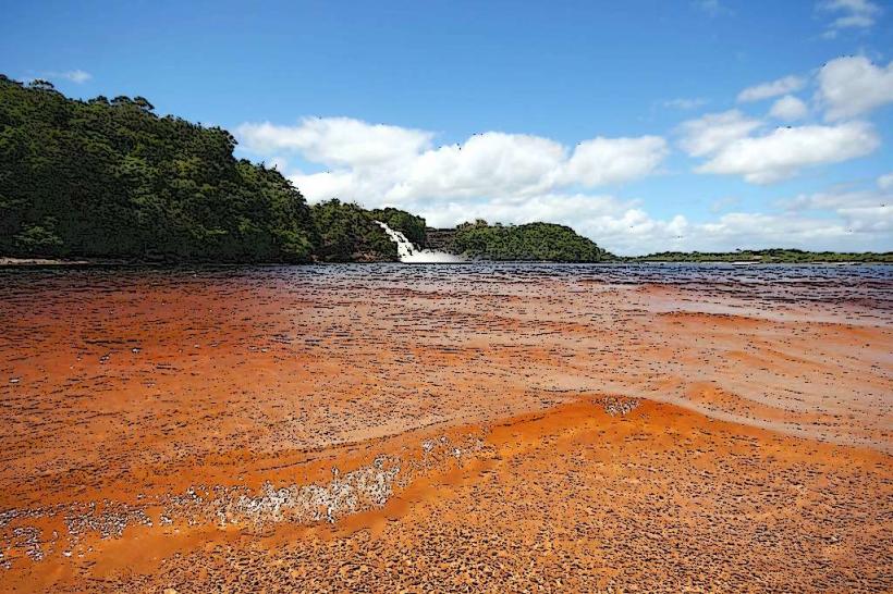
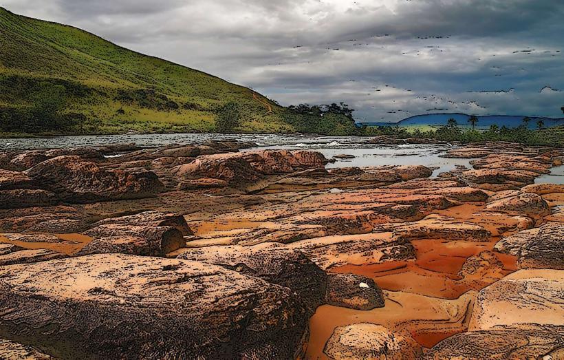
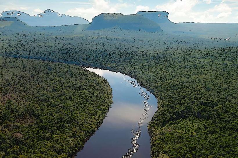
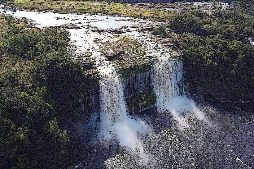
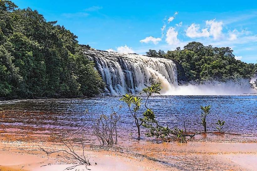
The Canyon of the River Churun is a geological formation located within Canaima National Park, Venezuela. It is characterized by its steep, vertical rock walls carved by the Churun River.
Visual Characteristics
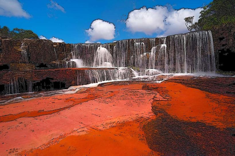
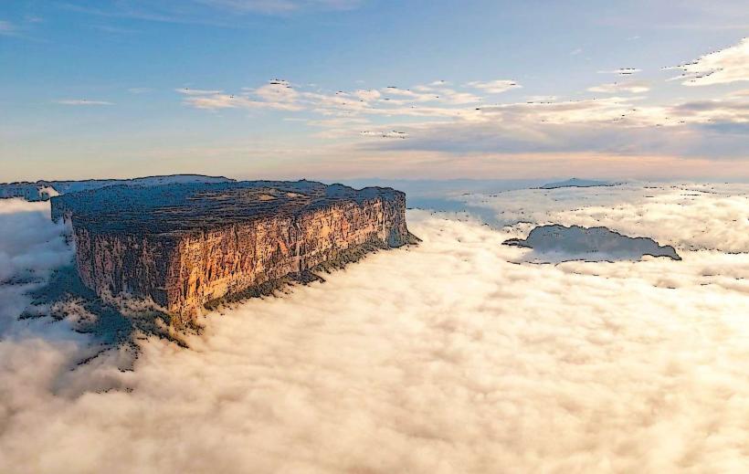
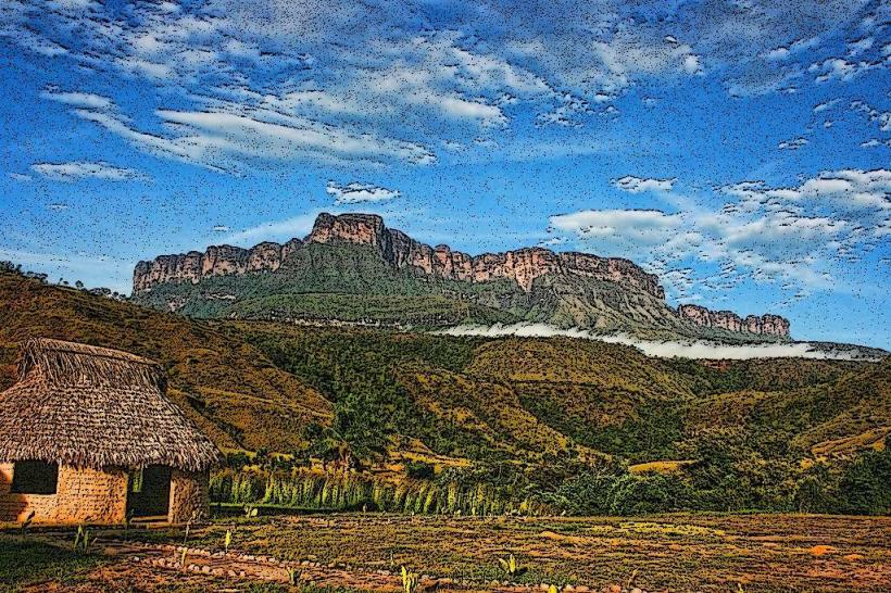
The canyon walls are composed of Precambrian sandstone, exhibiting a reddish-brown hue. The rock faces are largely sheer, with minimal vegetation clinging to the upper sections. The Churun River flows through the base, its water color varying from clear to a muddy brown depending on recent rainfall. The canyon's depth can exceed 1,000 meters in certain sections.
Location & Access Logistics
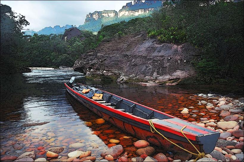
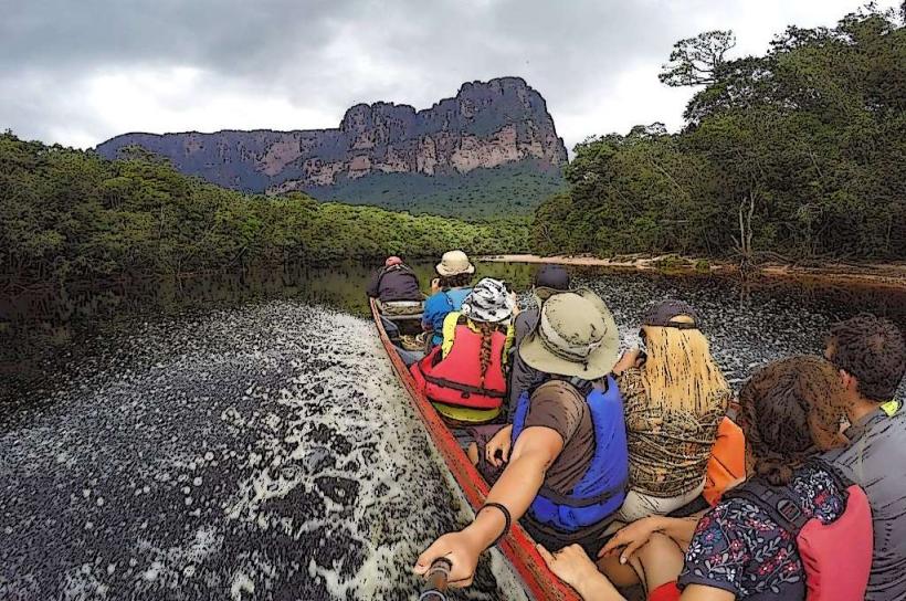
Canaima National Park is accessible primarily by air. The nearest major airport is Canaima Airport (CAJ). From Canaima village, access to the Canyon of the River Churun is typically via motorized canoe (curiara) along the Carrao and Churun rivers. This journey requires local guides and can take several hours, depending on river conditions. There is no road access. Parking is not applicable as access is riverine.
Historical & Ecological Origin
The canyon is a product of long-term erosion by the Churun River, a process that has shaped the ancient sandstone formations over millions of years. These sandstone formations are part of the Guiana Shield, one of the oldest geological regions on Earth. The area is classified as a tropical rainforest ecosystem.
Key Highlights & Activities
The primary activity is a guided canoe expedition through the canyon. This includes navigating river rapids and observing the sheer rock faces. Hiking to specific viewpoints is possible in certain accessible areas, often requiring local guidance. Photography of the geological formations and riverine landscape is a common pursuit.
Infrastructure & Amenities
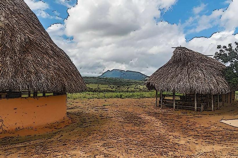
Within Canaima National Park, basic amenities are available in Canaima village, including lodges and restaurants. Direct infrastructure within the canyon itself is minimal. Cell phone signal is generally absent within the canyon. Restrooms and shade are limited to designated stops during canoe excursions or at the starting point in Canaima village.
Best Time to Visit
The dry season, typically from December to April, offers more predictable river levels for canoe travel and clearer water. The wet season (May to November) can lead to higher, faster-flowing rivers, potentially making navigation more challenging but also increasing the visual impact of waterfalls cascading down the canyon walls. Mid-morning to early afternoon provides the most direct sunlight for viewing the canyon walls.
Facts & Legends
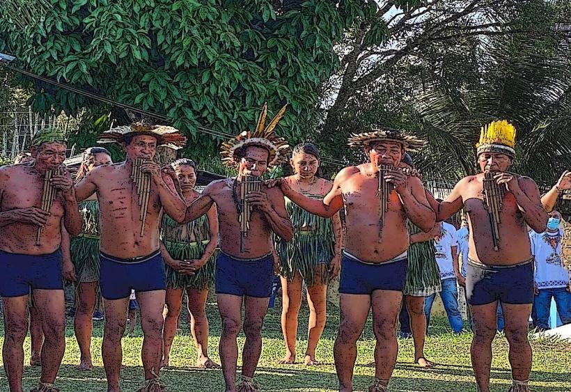
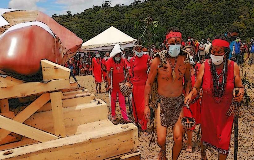
The Tepui formations that surround Canaima National Park, including those that contribute to the canyon's dramatic landscape, are believed by the indigenous Pemón people to be the dwelling places of spirits. Local legends speak of ancient beings and the creation of the landscape through supernatural events.
Nearby Landmarks
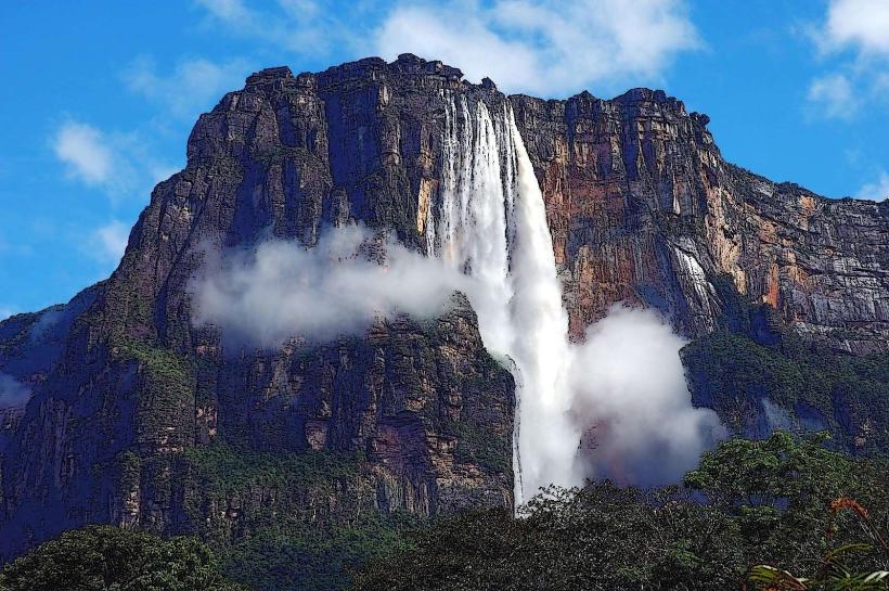
- Angel Falls (Salto Ángel) - 15km Northwest
- Sapo Falls (Salto Sapo) - 8km Southwest
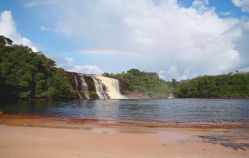
- Hacha Falls (Salto Hacha) - 9km Southwest
- Canaima Lagoon - 10km Southwest