Information
Landmark: Dajti MountainCity: Tirana
Country: Albania
Continent: Europe
Dajti Mountain, Tirana, Albania, Europe
Dajti Mountain is a limestone massif located in central Albania, rising immediately to the east of the capital city, Tirana. It is the centerpiece of the Dajti Mountain National Park, spanning approximately 29,384 hectares and serving as the city's primary natural recreational area.
Visual Characteristics
The mountain is characterized by steep limestone cliffs, karst formations, and dense vegetation zones that transition from Mediterranean shrubland at the base to ancient beech and pine forests at higher elevations. The highest peak, Maja e Dajtit, reaches an altitude of 1,613 meters. During winter months, the summit is frequently snow-capped, while the western slopes provide a panoramic view of the Adriatic Sea.
Location & Access Logistics
The mountain is situated 26km east of Tirana's city center. Road access is via the SH27, a narrow, winding asphalt road that leads to the mountain balcony. Alternatively, the Dajti Ekspres cable car provides a 15-minute transit from the base station in the Porcelan district to the upper station at 1,050 meters. Public buses from Skanderbeg Square (Line 11) service the lower station area every 20 minutes.
Historical & Ecological Origin
Geologically, Dajti is part of the Kruja-Dajt tectonic zone, composed primarily of Triassic-Jurassic limestone and Cretaceous flysch. It was declared a National Park in 1966 to protect its biodiversity, which includes brown bears, wolves, and various bird species. Historically, the mountain served as a strategic lookout point and housed military communication installations during the Cold War.
Key Highlights & Activities
Hiking is the primary activity, with marked trails such as the path to Maja e Tujanit (1,531m) offering views of the Bovilla Reservoir. The mountain balcony features an adventure park with rope courses, paragliding launch sites, and mountain biking tracks. Rock climbing is possible on specific limestone faces near the upper cable car station.
Infrastructure & Amenities
The "balcony" area at the top of the cable car contains the Dajti Tower Belvedere Hotel, multiple restaurants, and public restrooms. 5G cellular signal is strong near the summit station but can be intermittent on the eastern hiking trails. There are designated picnic zones with stone tables and several mountain springs providing potable water.
Best Time to Visit
The optimal time for hiking is from May to October, when trails are dry and temperatures are mild. For photography, the late afternoon offers clear lighting over the Tirana basin and the sea. High visibility is most frequent in late autumn. Visitors should note that temperatures at the summit are typically 7°C to 10°C lower than in the city center.
Facts & Legends
Dajti is often referred to as the "Natural Balcony of Tirana" due to its sheer drop toward the plain. A local phenomenon known as the "Dajti Cap" occurs when a single, static cloud settles on the peak while the surrounding sky remains clear, often signaling a change in local barometric pressure.
Nearby Landmarks
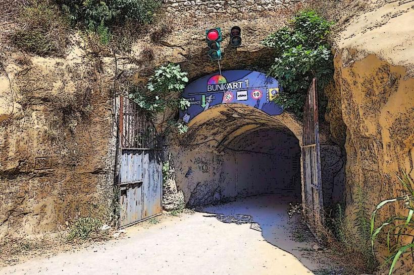
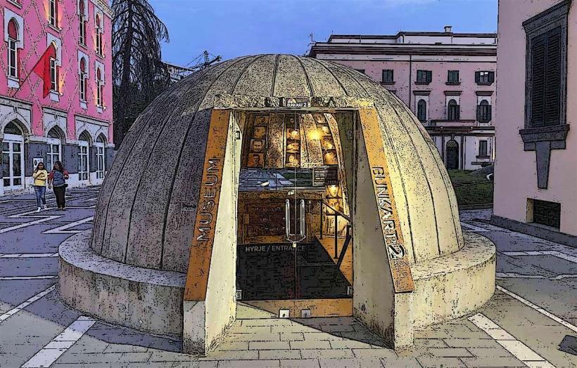
Bunk'Art 1: 4.5km West (at mountain base)
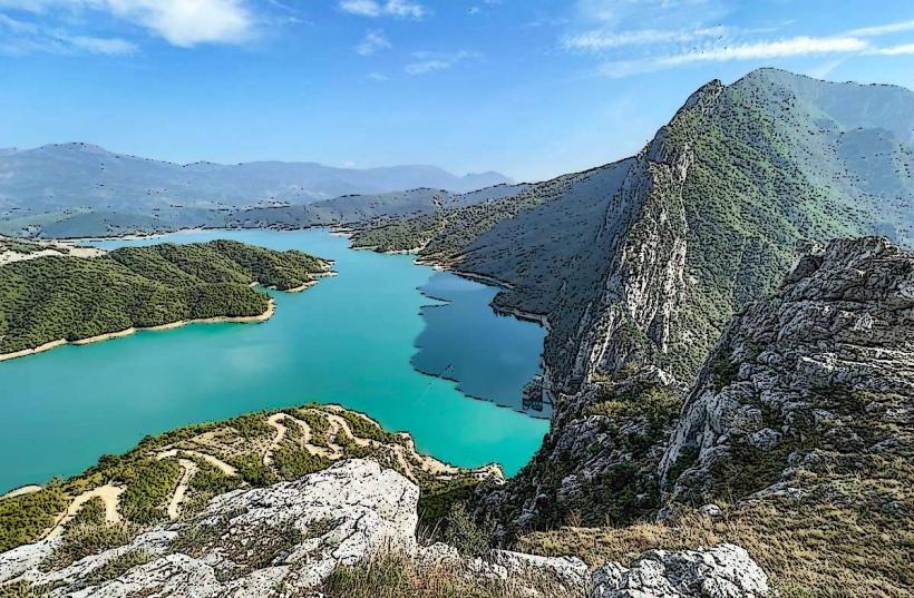
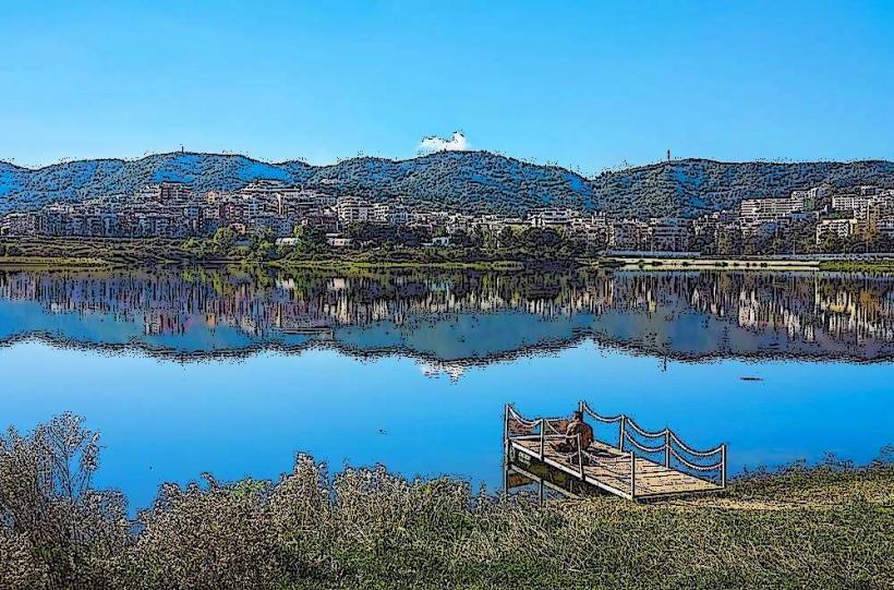
Bovilla Reservoir: 5.0km North
Linzë Village: 3.5km Southwest
Tujan Castle (Ruins): 2.5km Northwest
Pellumbas Cave: 12.0km Southeast