Information
Landmark: Harriet Tubman Underground Railroad Scenic BywayCity: Baltimore
Country: USA Maryland
Continent: North America
Harriet Tubman Underground Railroad Scenic Byway, Baltimore, USA Maryland, North America
The Harriet Tubman Underground Railroad Scenic Byway is a designated route in Maryland tracing paths used by enslaved people seeking freedom. It spans multiple counties across the state.
Visual Characteristics
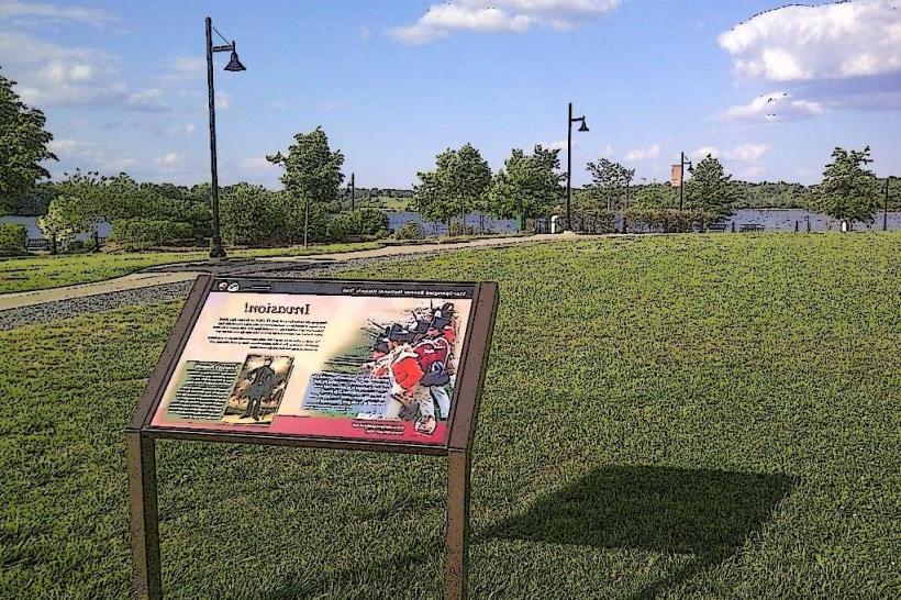
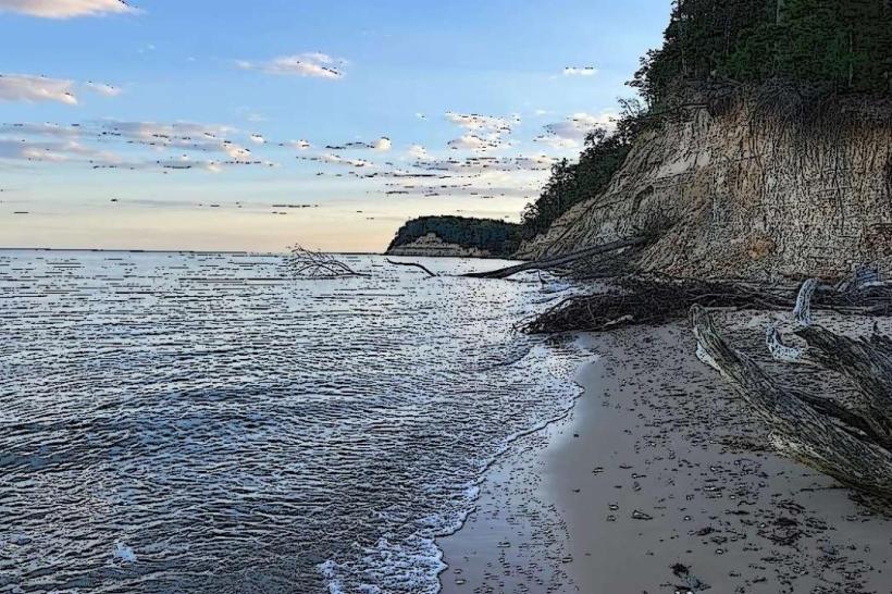
The byway is not a single structure but a network of roads. Road surfaces vary from paved asphalt to gravel. The surrounding landscape includes agricultural fields, forests, and waterways. Signage along the route is typically brown with white lettering, indicating historical points of interest.
Location & Access Logistics
The byway originates near the Delaware border and extends westward through Dorchester, Caroline, Talbot, Queen Anne's, Kent, Cecil, and Harford counties. Access points are numerous, with major entry points near Cambridge, Maryland. Driving is the primary mode of access. Specific road segments include MD 16, MD 331, and various county roads. Parking is available at designated historical sites and visitor centers, though not consistently along all sections. Public transport is limited to local bus services within individual towns along the route; no direct byway-specific public transport exists.
Historical & Ecological Origin
The route follows historical pathways utilized during the Underground Railroad era, primarily from the early to mid-19th century. It is not a geologically formed site but a human-constructed network of travel. The ecological context includes the Chesapeake Bay watershed, featuring tidal marshes, woodlands, and coastal plains.
Key Highlights & Activities
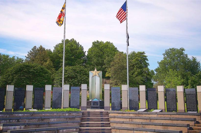
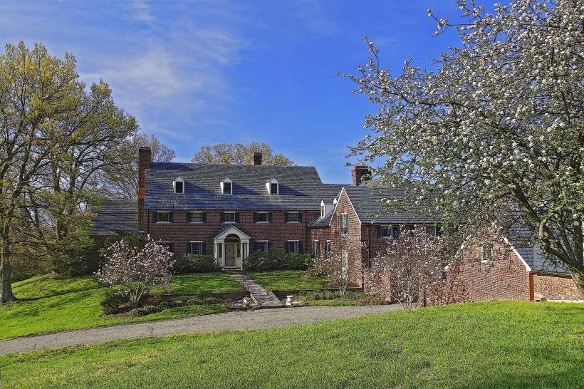
Visitors can drive the route, stopping at interpretive signs and historical markers. Specific sites include the Harriet Tubman Museum and Educational Center in Cambridge, the Bucktown Village Historic District, and the Ferry Landing at Sandy Point. Activities include visiting historical buildings, viewing natural landscapes, and engaging with educational exhibits. Photography of historical markers and natural scenery is possible.
Infrastructure & Amenities
Restrooms are available at major visitor centers and some historical sites. Shade is provided by trees in wooded areas and at some picnic spots. Cell phone signal (4G/5G) is generally available in populated areas but can be intermittent in more rural or remote sections of the byway. Food vendors and restaurants are located in towns along the route, such as Cambridge and Easton, but are not consistently present directly on the byway itself.
Best Time to Visit
For optimal driving conditions and outdoor exploration, the months of April through October are recommended. Spring (April-May) offers blooming vegetation, while autumn (September-October) provides fall foliage. Mid-day lighting is suitable for general viewing; early morning or late afternoon may offer more nuanced light for photography of landscapes. Tidal conditions are relevant for specific coastal access points but not for the byway as a whole.
Facts & Legends
A verified historical detail is that Harriet Tubman herself made approximately 13 trips back into Maryland to rescue approximately 70 enslaved people, including family and friends, using routes that form the basis of this byway. A local legend suggests that certain old oak trees along the route were used as "freedom trees" where escaping individuals would rest or receive guidance.
Nearby Landmarks
- Cambridge Creek (0.8km West)
- Dorchester County Historical Society (1.2km Northwest)
- Blackwater National Wildlife Refuge (15km South)
- St. Mary's Catholic Church (2.5km East)
- Choptank River (3km North)