Information
Landmark: Impalila IslandCity: Rundu
Country: Namibia
Continent: Africa
Impalila Island, Rundu, Namibia, Africa
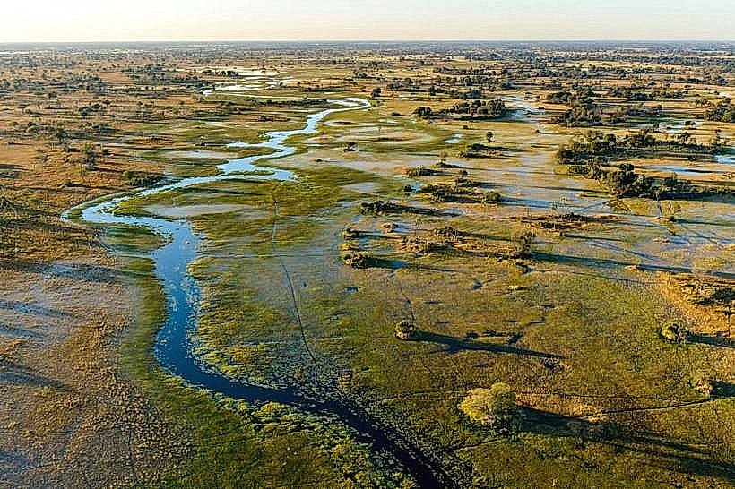
Impalila Island is a major river island situated at the easternmost tip of Namibia’s Zambezi Region, within the Kasika area. It is famously positioned at the confluence of the Zambezi and Chobe Rivers, marking the unique geographical point where Namibia, Botswana, Zambia, and Zimbabwe converge.
Visual Characteristics
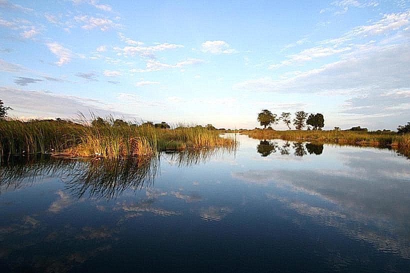
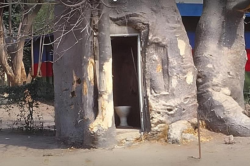
The island is approximately 12km long and 4km wide, characterized by elevated rocky ground that rises roughly 950 meters above sea level. The interior is covered in dense "Impalila woodland" consisting of mopane, silver cluster-leaf, and knobthorn trees, while massive, ancient baobabs dominate the skyline. The perimeter is fringed by lush riverine vegetation and papyrus-lined channels. The soil is primarily sandy and fertile, supporting small-scale subsistence farming plots among the scattered villages.
Location & Access Logistics
Access is primarily via boat transfer from Kasane, Botswana, across the Chobe River. Travelers must clear Namibian immigration and customs at the island's dedicated post near the pier. There is also a 1,300-meter gravel airstrip, a relic of former military operations, used for private charter flights. Internal transport is limited to a network of dirt tracks; there are very few motorized vehicles on the island, with most residents and visitors traveling on foot or by bicycle.
Historical & Ecological Origin
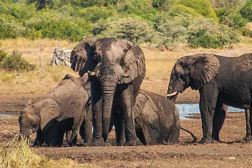
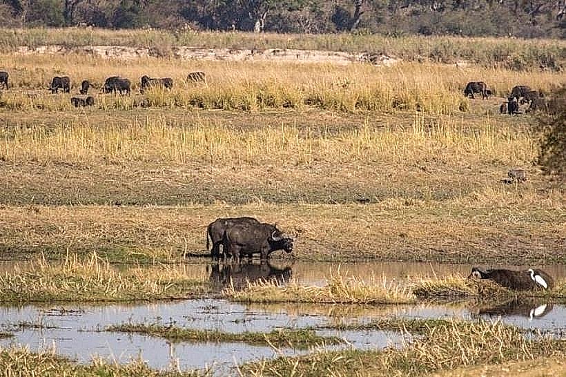
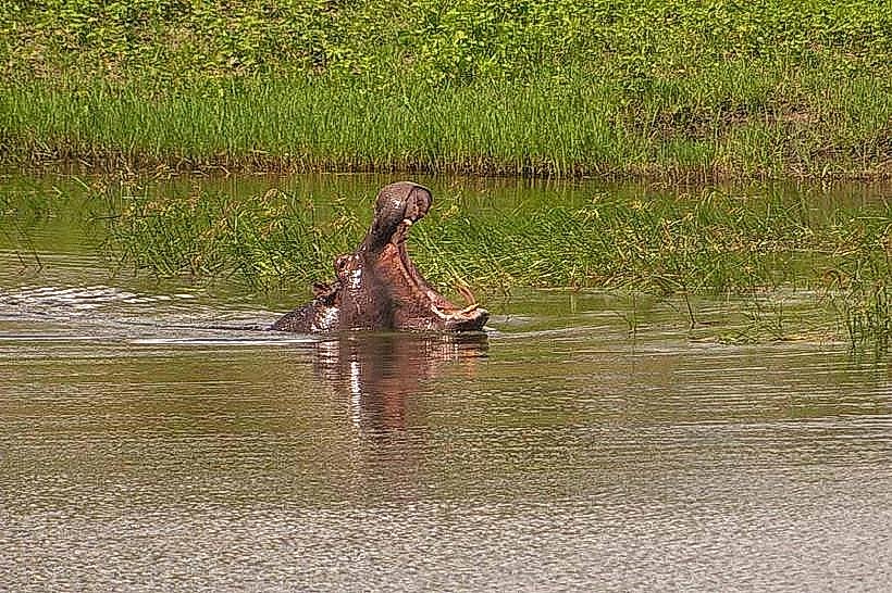
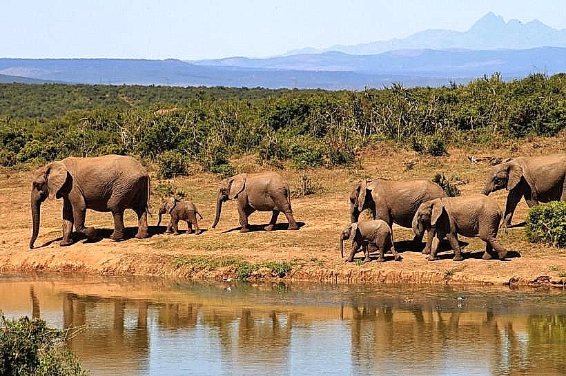
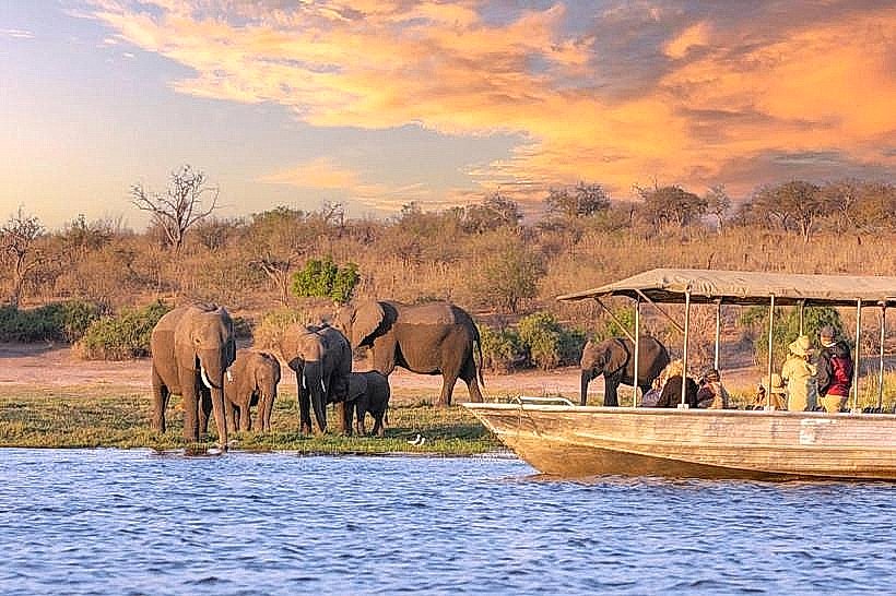
The island was historically a strategic border between the Lozi and Matabele empires and was later visited by David Livingstone in the mid-19th century. During the Namibian War of Independence, it served as a significant military outpost for South African forces. Ecologically, it is a stable wedge of higher ground within the Kalahari Basin, acting as a refuge for wildlife such as bushbuck and warthog, while the surrounding floodplains host migratory herds of elephants and buffalo.
Key Highlights & Activities
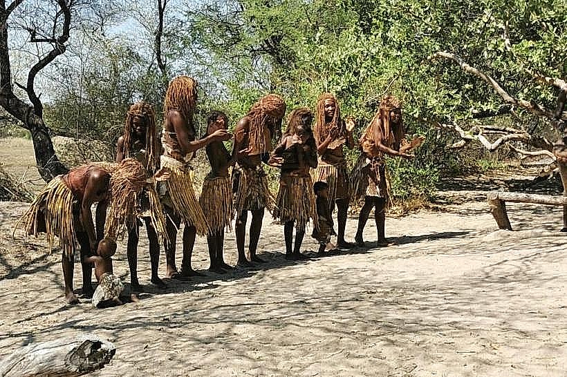
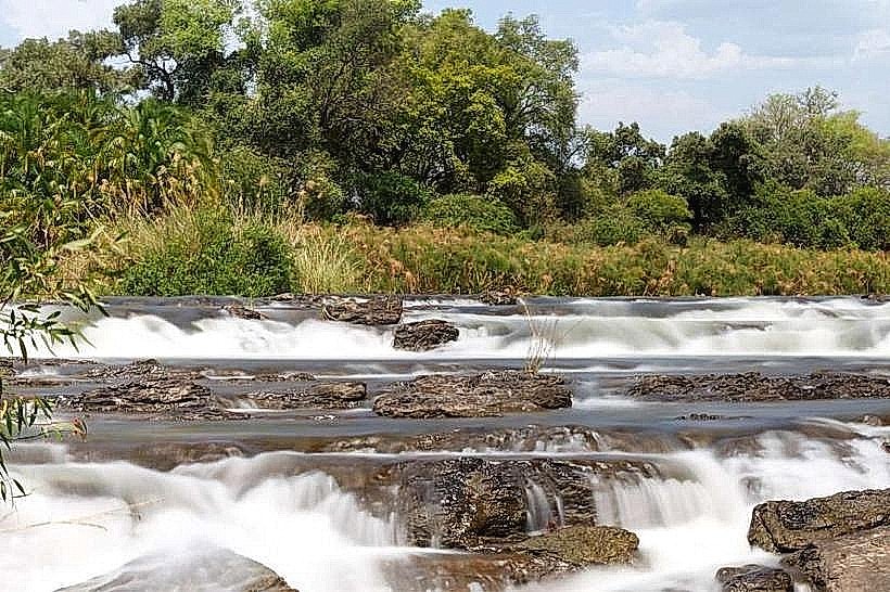
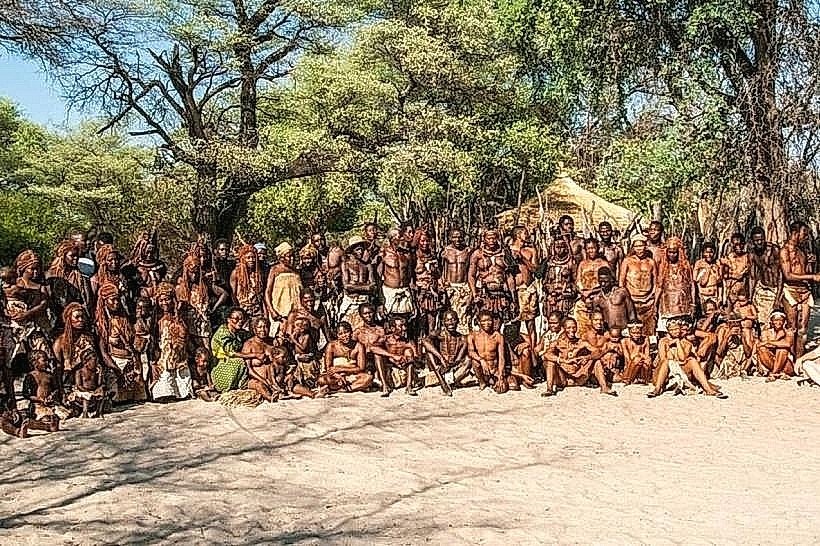
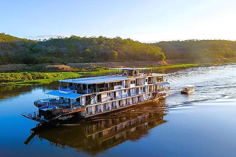
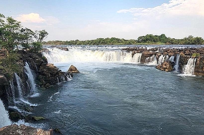
Primary activities include guided village walks to experience the culture of the Basubiya people and birdwatching, with over 450 recorded species. Visitors often hike to the "Ancient Baobab," a tree estimated to be 2,000 years old, which offers a vantage point from which all four surrounding countries can be seen. Water-based activities include catch-and-release tiger fishing in the Mowomba rapids and mokoro (dugout canoe) trips through the shallower channels.
Infrastructure & Amenities
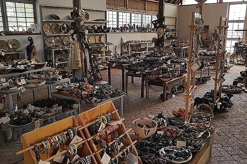
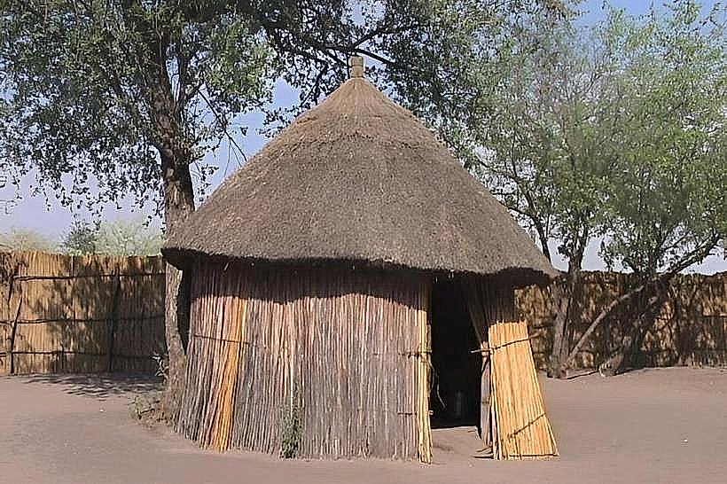
The island contains 25 small villages, a primary school, a junior secondary school, and a local clinic. Several luxury lodges provide upscale accommodation and dining. There are small kiosks in the villages, but full-scale supermarkets, banks, and fuel stations are located across the river in Kasane. Cellular signal is typically available through MTC Namibia, though roaming onto Botswana's Mascom or Orange networks is frequent.
Best Time to Visit
The dry season from May to October is the optimal time for visiting, as the weather is mild and wildlife is more concentrated near the riverbanks. The high-water season from March to May provides the most dramatic views of the surrounding floodplains, though some internal walking paths may become muddy. Early morning and late afternoon are the best times for photography, specifically for capturing the light on the baobab trees and the river rapids.
Facts & Legends
Local Sibuya legend calls the island Kwapila, meaning "unable to," referring to its role as a natural fortress protected by two mighty rivers that made invasion by rival tribes nearly impossible. A historical oddity: because the island was once under military administration, it retains one of the best-maintained bush airstrips in the region. A specific tip for visitors: climb the "ladder" of nails in the ancient baobab to reach the upper branches for the four-country view, but only with a local guide.
Nearby Landmarks
Chobe National Park (Botswana) – 1.5km South
Mowomba Rapids – 0.5km Northwest
Kasika Conservancy – 5.0km West
Kasane Town Centre (Botswana) – 2.5km Southeast
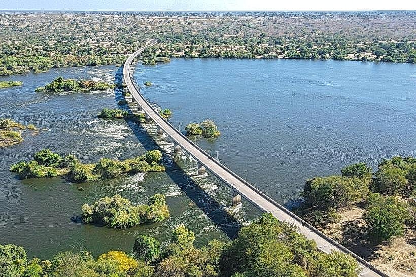
Kazungula Ferry/Bridge – 10.0km East