Information
Landmark: Kwando Core AreaCity: Rundu
Country: Namibia
Continent: Africa
Kwando Core Area, Rundu, Namibia, Africa
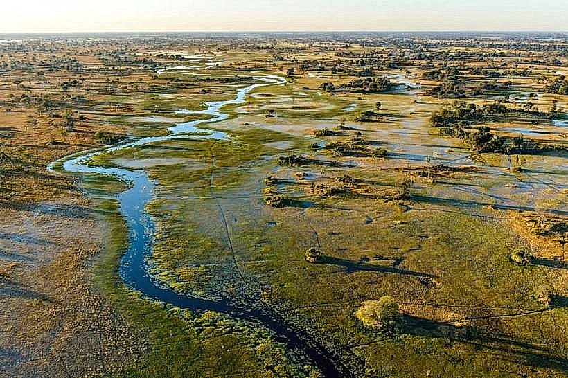
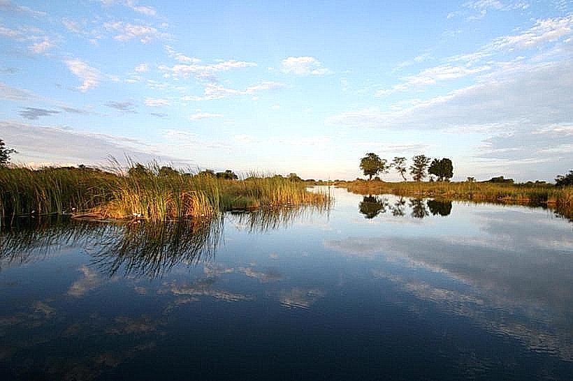
The Kwando Core Area is a 1,280-square-kilometer wildlife sanctuary within Bwabwata National Park in the Zambezi Region, Namibia. It is situated on the western bank of the Kwando River, bordering Angola to the north and Botswana to the south.
Visual Characteristics
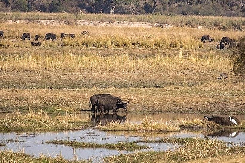
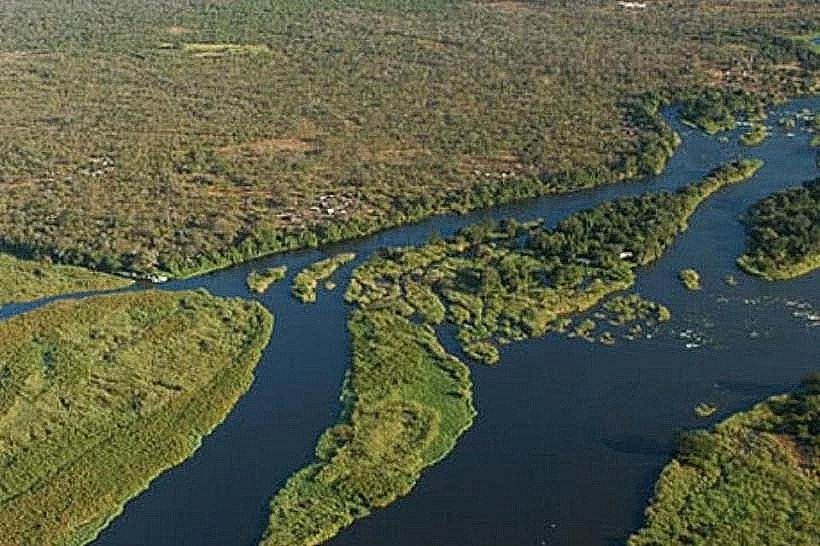
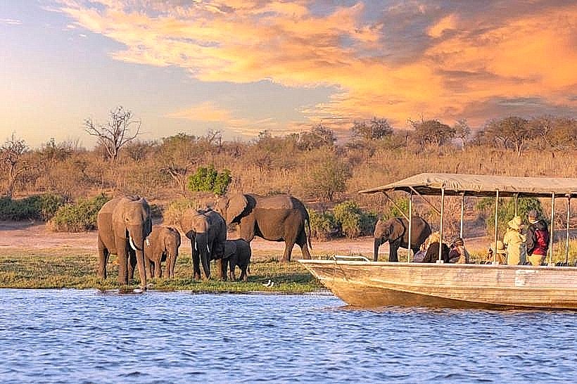
The landscape is characterized by a mosaic of perennial wetlands, broad-leafed Kalahari woodlands, and expansive floodplains. Riparian zones feature dense stands of papyrus, reeds, and water lilies, transitioning inland to mature forests of Zambezi teak, camel-thorn, and leadwood. A prominent geological feature is the "Horseshoe," a large oxbow lagoon with distinctive white-sand beaches surrounded by thick woodland.
Location & Access Logistics
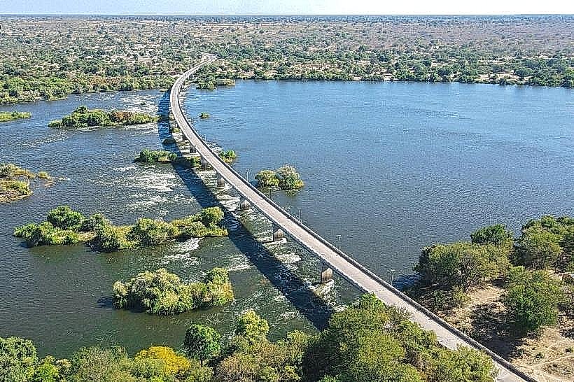
The core area is located approximately 200km east of Rundu via the B8 Trans-Caprivi Highway. Access is primarily through the Susuwe Ranger Station near Kongola. Within the park, roads consist of deep, heavy Kalahari sand that requires high-clearance 4WD vehicles; 2WD transit is not possible. The area is positioned roughly 115km west of Katima Mulilo.
Historical & Ecological Origin
The area has a significant military history, having served as a strategic zone for the South African Defence Force (SADF) during the Namibian War of Independence; the "Old Fort Doppies" site remains a historical landmark. It was formally gazetted as part of Bwabwata National Park in 2007. Ecologically, it serves as a critical trans-boundary migratory corridor within the Kavango-Zambezi Transfrontier Conservation Area (KAZA TFCA).
Key Highlights & Activities
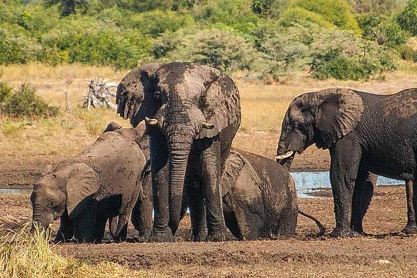
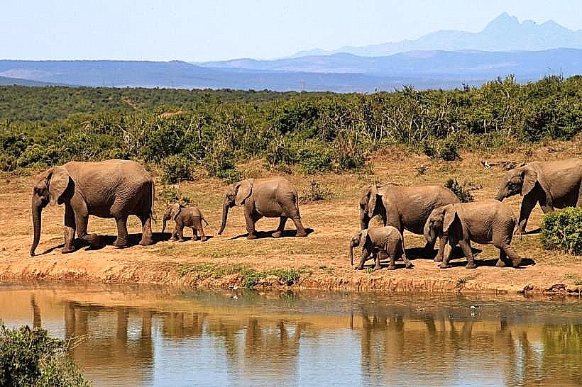
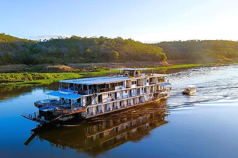
Wildlife viewing is centered on the Horseshoe lagoon, where hundreds of elephants congregate daily from midday to late afternoon. Activities include self-drive game drives to spot rare species like sitatunga, red lechwe, and African wild dogs. Birdwatching is a major activity, with sightings of wattled cranes, African skimmers, and Pel’s fishing owls. Guided boat safaris are available through concessions on the Kwando River.
Infrastructure & Amenities
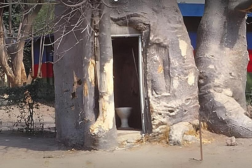
Infrastructure within the core area is limited to preserve its wilderness status. It contains two community-run campsites, Nambwa and Bum Hill, which offer basic ablution facilities. There are no fuel stations, grocery stores, or restaurants inside the park; these services are located in the nearby town of Kongola. 4G cellular signal is available near the park entrance but is absent in the deeper interior.
Best Time to Visit
The dry season from May to October is the optimal time for game viewing as animals congregate at the permanent river and lagoons. For photography, the late afternoon at the Horseshoe offers high-density elephant sightings against a backdrop of white sand and water. During the rainy season (November to March), many sand tracks become difficult to navigate, and high humidity is prevalent.
Facts & Legends
The site "Old Fort Doppies" is not a traditional stone fort but was a camouflage-training and reconnaissance base for the SADF; the name "Doppies" refers to spent shell casings. A local tip for visitors: the Horseshoe lagoon is often so crowded with elephants in the late afternoon that return travel to the gate can be delayed by herds blocking the tracks.
Nearby Landmarks
Horseshoe Lagoon – 5.5km South
Kongola Settlement – 12.0km East
Old Fort Doppies – 4.2km Northeast
Mudumu National Park – 35.0km South