Information
Landmark: Mudumu National ParkCity: Rundu
Country: Namibia
Continent: Africa
Mudumu National Park, Rundu, Namibia, Africa
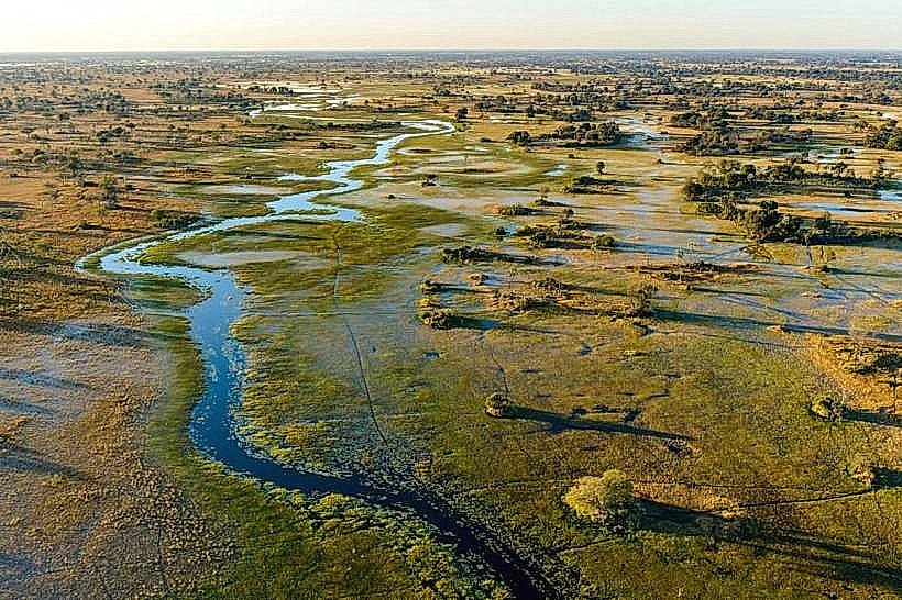
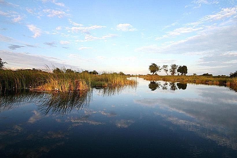
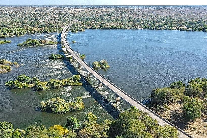
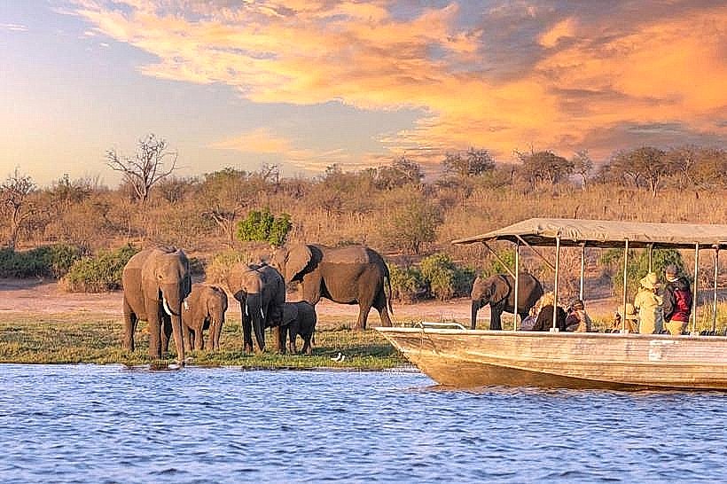
Mudumu National Park is a 737-square-kilometer wildlife sanctuary located in the Zambezi Region of northeastern Namibia. It is bordered by the Kwando River to the west and is situated approximately 35km south of Kongola along the C49 highway.
Visual Characteristics
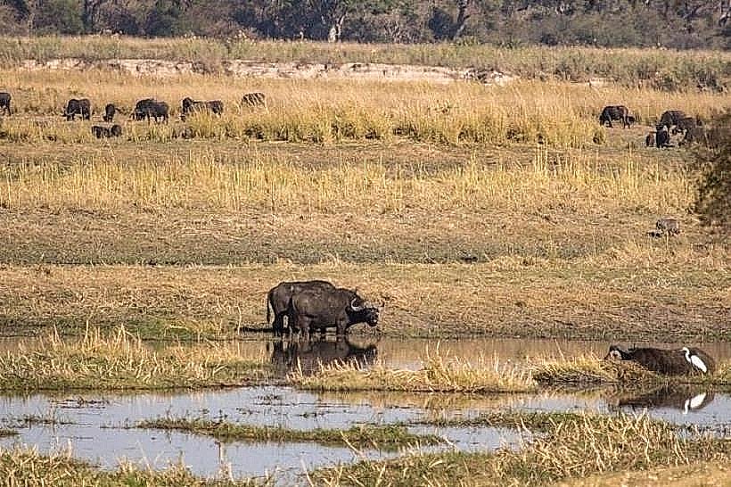
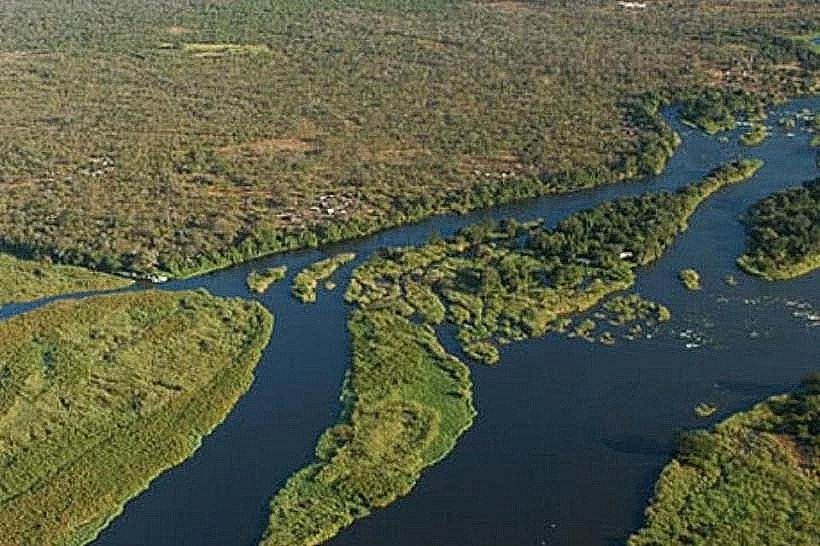
The park is characterized by a mix of riverine forests, expansive reed beds, and mopane woodlands. The western boundary is a labyrinth of channels, lagoons, and papyrus swamps, while the interior consists of flat fossil floodplains and dense stands of leadwood and mangetti trees. The soil transitions from heavy alluvial clay near the river to deep, pale Kalahari sands in the eastern forest blocks.
Location & Access Logistics
Access is via the C49 (Linyanti Road), which is a tarred surface leading from Kongola. Internal park tracks consist of deep sand and seasonal mud, necessitating a high-clearance 4WD vehicle for all exploration. The park is approximately 140km west of Katima Mulilo. Visitors must register at the Nakatwa Ranger Station, located about 10km into the park from the main road turn-off.
Historical & Ecological Origin
Proclaimed in 1990, Mudumu was established shortly after Namibia's independence to protect the riverine ecosystem of the Kwando. Geologically, it sits on the edge of the Kalahari Basin, acting as a drainage point for ephemeral channels. It serves as a vital corridor for the trans-boundary migration of elephants and buffalo between Botswana, Namibia, and Zambia within the KAZA Transfrontier Conservation Area.
Key Highlights & Activities
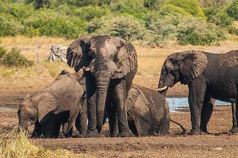
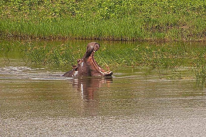
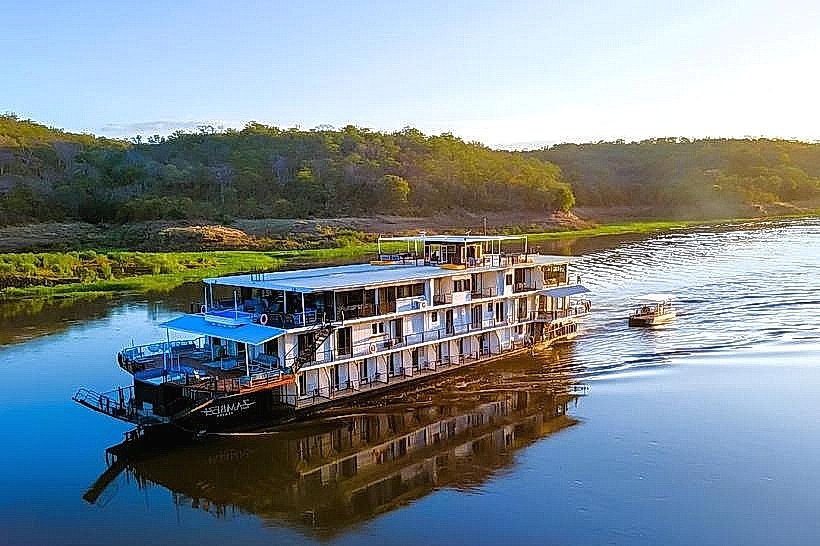
Wildlife viewing is primary, with frequent sightings of elephants, buffalo, hippopotamuses, and crocodiles. The park is a stronghold for rare antelope, including sitatunga, red lechwe, and roan. Birdwatching is exceptional, with over 400 species recorded, including the African fish eagle and various kingfishers. Self-drive safaris are permitted, and several private lodges offer guided boat excursions on the Kwando River.
Infrastructure & Amenities
Infrastructure is minimal and emphasizes a "wilderness" experience. There are three basic community-managed campsites at Nakatwa with rustic ablution blocks and no electricity. There are no food vendors, fuel stations, or shops within the park; the nearest service center is Kongola. 4G cellular signal is intermittent and generally only accessible near the park entrance or high-elevation points.
Best Time to Visit
The dry season from June to October is the optimal time for game viewing as animals congregate at the permanent water sources. During the rainy season (November to April), many tracks become impassable due to black cotton soil, and the park experiences high humidity and mosquito activity. Late afternoon is the best time for photography to capture the light reflecting off the river channels.
Facts & Legends
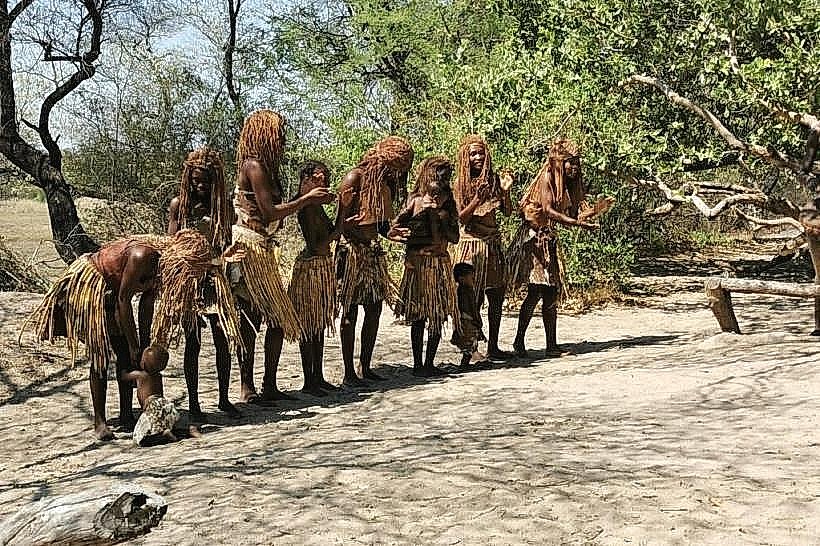
The park is one of the few places in Namibia where the rare, semi-aquatic sitatunga antelope can be sighted in the deep papyrus reeds. A local tip for travelers: the "Nakatwa" area is historically known for its high predator density, particularly lions and spotted hyenas, which are often heard at night from the campsites.
Nearby Landmarks
Kwando Core Area (Bwabwata) – 32.0km North
Namushasha Heritage Centre – 12.5km North
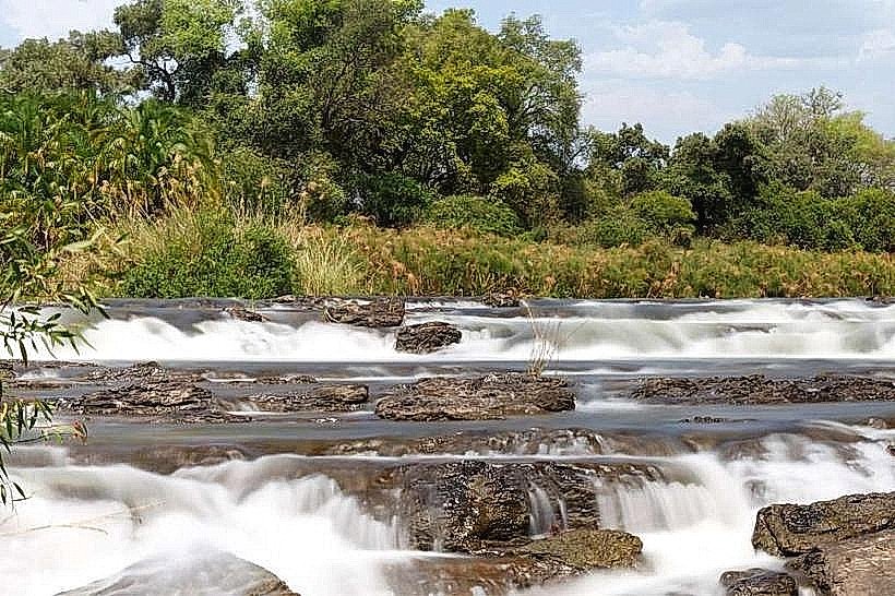
Linyanti River – 40.0km Southeast
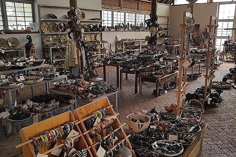
Mashi Crafts Centre – 34.0km North