Information
Landmark: Ngonye Falls (Sioma Falls)City: Rundu
Country: Namibia
Continent: Africa
Ngonye Falls (Sioma Falls), Rundu, Namibia, Africa
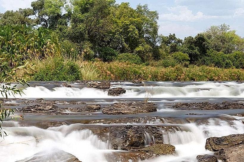
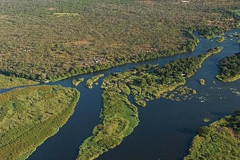
Ngonye Falls, also known as Sioma Falls, is a horseshoe-shaped waterfall located on the Zambezi River in the Western Province of Zambia. It serves as the second-largest waterfall on the Zambezi and a major geological feature of the Barotse Floodplain.
Visual Characteristics
The falls are characterized by a series of drops and rapids that span the full width of the Zambezi River. Unlike the vertical plunge of Victoria Falls, Ngonye consists of a broad, semi-circular ledge with a height of approximately 10 to 25 meters, depending on the season. The surrounding terrain is dominated by jagged basalt rock formations and dense riverine vegetation, including leadwood and waterberry trees. The volume of water creates significant spray and foam, particularly where the river narrows into the gorge below.
Location & Access Logistics
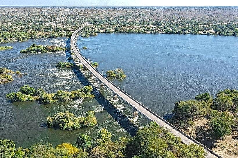
The site is situated near the town of Sioma, approximately 300km north of Livingstone and 180km south of Mongu. Access is via the M10 road, which is fully paved. A bridge spanning the Zambezi at Sioma, completed in 2016, provides direct vehicular access to the western bank. Visitors must stop at the National Heritage Conservation Commission (NHCC) office in Sioma to pay entry fees. From the office, a 2km sandy track leads to the parking area, requiring a high-clearance vehicle.
Historical & Ecological Origin
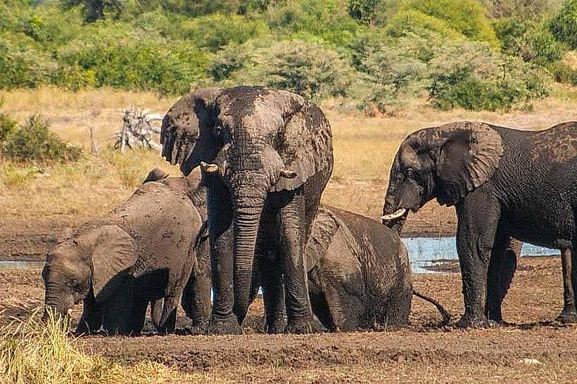
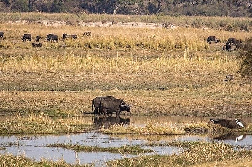
The falls are formed by a resistant basalt layer that has slowed the river's erosion relative to the surrounding sandstone. Historically, the falls marked a significant obstacle for early explorers and traders, requiring the portage of boats around the rapids. Ecologically, the falls are a vital part of the Sioma Ngwezi National Park ecosystem, providing a permanent water source and varied habitats for aquatic and terrestrial species.
Key Highlights & Activities
The primary activity is hiking along the basalt cliffs to various viewpoints overlooking the horseshoe. During the low-water season (August to December), visitors can walk across the exposed rock riverbed and swim in natural rock pools near the edge of the falls. Guided boat trips are available to the base of the falls for photography. Birdwatching is productive, with frequent sightings of the African skimmer and rock pratincole.
Infrastructure & Amenities
Infrastructure at the falls is minimal to maintain the natural landscape. There is a basic reception center and several designated picnic spots. Several community-run campsites and private lodges are located in the vicinity of Sioma. There is no grid electricity at the falls themselves, though 4G cellular signal from Airtel and MTN Zambia is generally stable. Full services, including fuel and basic groceries, are available in Sioma town.
Best Time to Visit
The optimal time to view the falls is between June and August, when water levels are high enough to fill the entire horseshoe but low enough to allow for safe navigation of the rocky viewpoints. During the peak flood season (March to May), the sheer volume of water can submerge many of the rock features, reducing the distinct "drops." Early morning is the best time for photography to avoid the intense midday heat and glare.
Facts & Legends
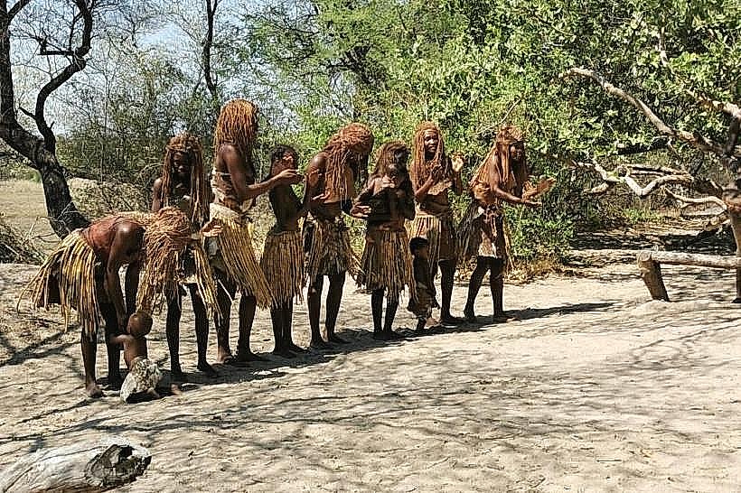
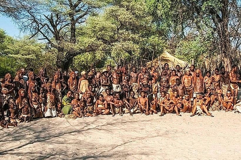
Local Lozi tradition suggests that the falls were a site of spiritual significance where traditional leaders would perform ceremonies to ensure the annual floods for the Barotse Plain. A logistical fact: because the basalt at Ngonye is softer than that at Victoria Falls, the river is gradually carving a new gorge, a process visible in the abandoned river channels nearby.
Nearby Landmarks
Sioma Ngwezi National Park – 5.0km West
Sioma Bridge – 2.5km North
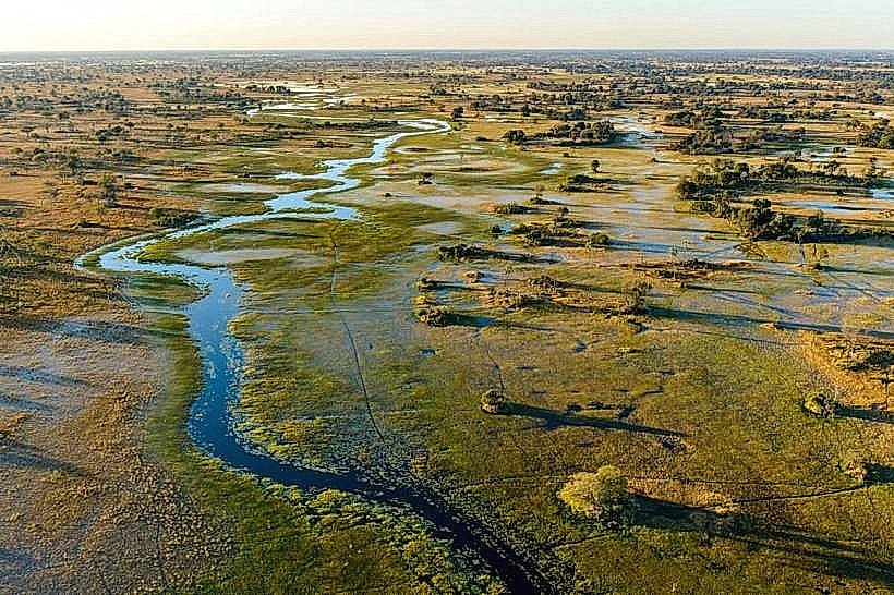
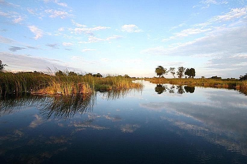
Barotse Floodplain – Extends North from the Falls
Senanga Town – 85.0km North