Information
Landmark: Lizauli Traditional VillageCity: Rundu
Country: Namibia
Continent: Africa
Lizauli Traditional Village, Rundu, Namibia, Africa
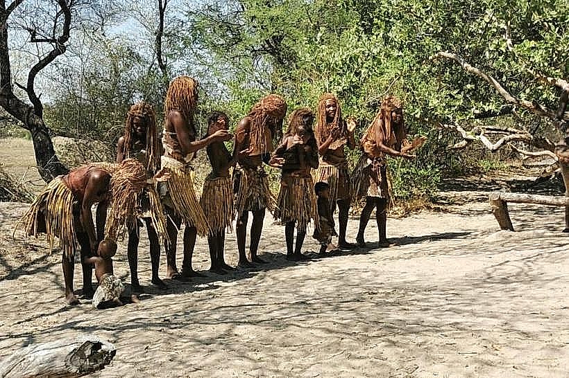
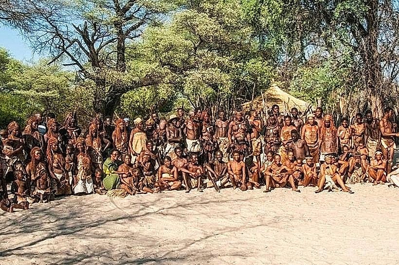
Lizauli Traditional Village is a community-run cultural heritage site located in the Zambezi Region of Namibia, approximately 25km south of Kongola. It serves as an open-air museum where the local Lozi and Mafwe communities demonstrate ancestral customs, social structures, and survival skills.
Visual Characteristics
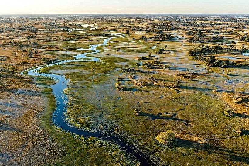
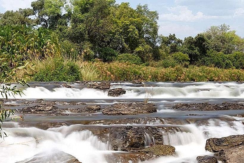
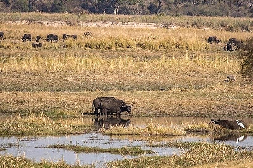
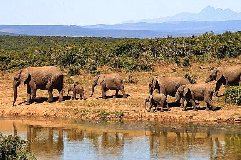
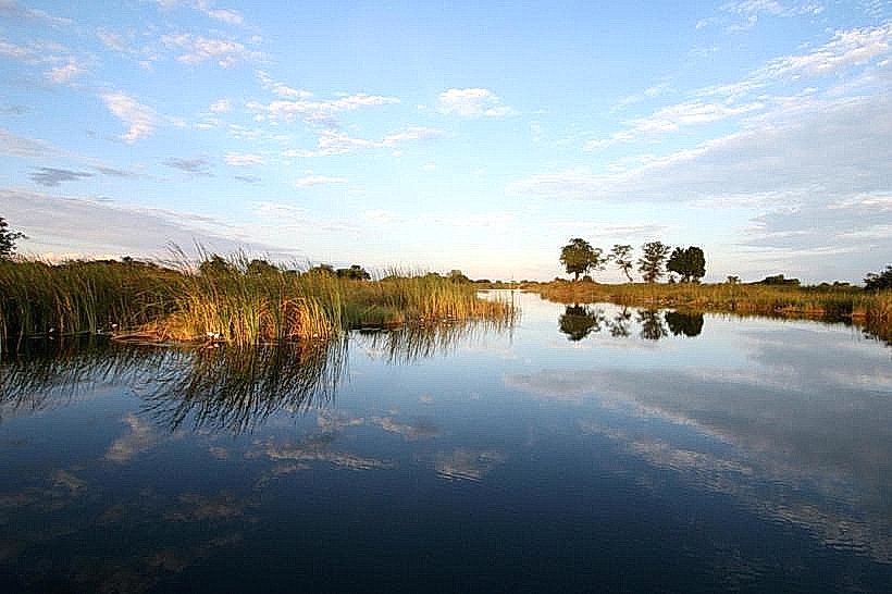
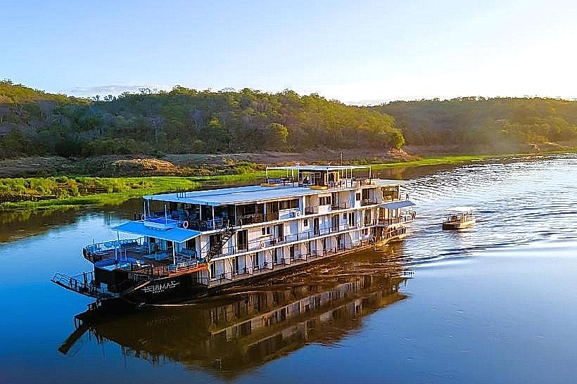
The village is designed as a traditional homestead, featuring a series of circular and rectangular huts constructed from mopane poles, mud-and-dung plaster, and thick grass thatch. The structures are organized around a central courtyard and enclosed by a high reed fence (lapa). The surrounding landscape consists of riparian woodland and the broad floodplains of the Kwando River, with leadwood trees and fan palms dominating the horizon.
Location & Access Logistics
The site is situated on the C49 road (Linyanti Road), roughly 25km south of the B8 highway intersection at Kongola. It is accessible via a paved road followed by a short gravel track suitable for all vehicle types. The village is positioned within the Linyanti Constituency, approximately 135km west of Katima Mulilo. Parking is available in a cleared area at the entrance to the homestead.
Historical & Ecological Origin
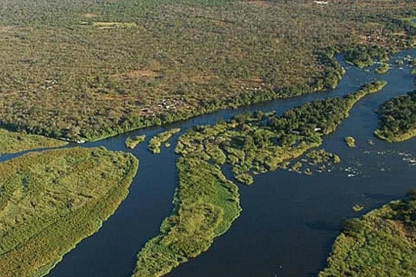
Lizauli was established in the early 1990s as one of the first community-based tourism initiatives in the Caprivi (now Zambezi) Region. It was developed to provide an alternative income for the Lizauli community following the proclamation of the nearby Mudumu National Park. Geologically, the site sits on an elevated sand ridge above the Kwando River’s seasonal flood line, an area historically utilized for its strategic view and fertile soil.
Key Highlights & Activities
Tours are guided by residents who demonstrate various aspects of traditional life, including:
Traditional Medicine: Identification and preparation of local plants for healing.
Blacksmithing: Forging iron tools and spearheads using hand-operated bellows.
Grain Processing: Threshing and winnowing of mahangu (pearl millet) using wooden pestles.
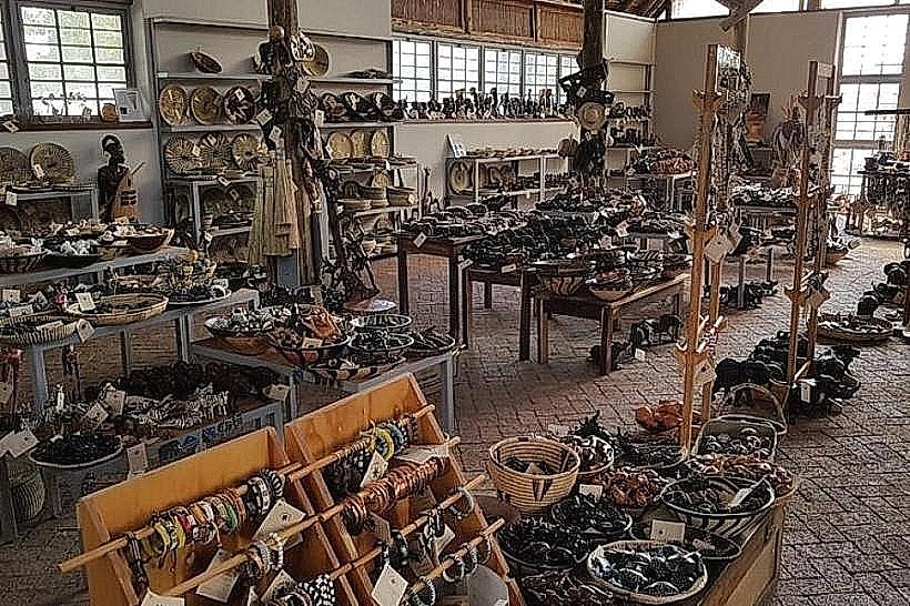
Crafting: Weaving of papyrus mats and palm-leaf baskets.
Performance: Traditional dances and songs accompanied by drums and the silimba (a local xylophone).
Infrastructure & Amenities
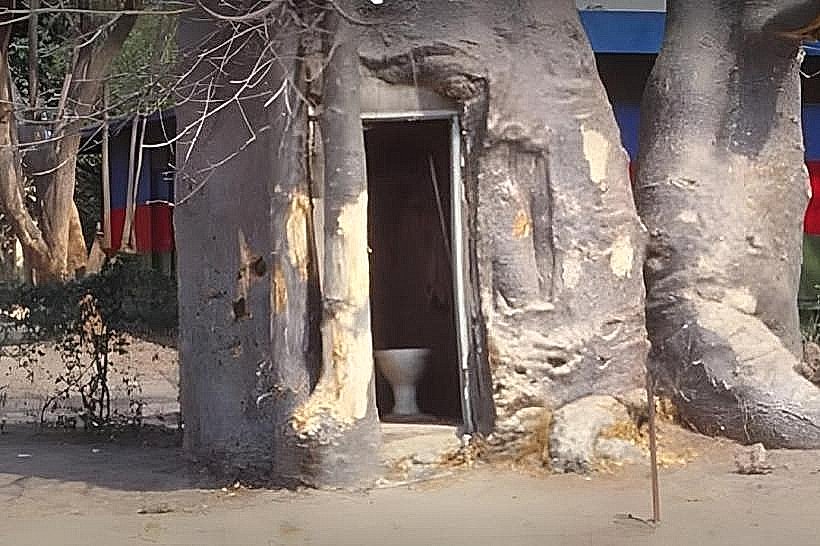
The facility is a rustic "living" site with minimal modern infrastructure. It includes basic pit latrines and a small shaded area for guests. A craft kiosk at the exit sells items produced by the villagers. There is no electricity or piped water on-site. Full amenities, including fuel, groceries, and medical services, are located 25km north in Kongola. 4G cellular signal is weak and intermittent.
Best Time to Visit
The dry season (May to October) is the optimal time for visiting to avoid the high humidity and high mosquito density of the summer months. Morning tours are recommended before temperatures peak. For photography, the late afternoon light highlights the textures of the thatched roofs and provides a scenic backdrop of the nearby Kwando River floodplains.
Facts & Legends
A central feature of the village is the Kuta, or traditional court, where the village headman settles communal disputes-a practice that continues in modern northern Namibia alongside the formal legal system. Local legend tells of the "hidden waters" of the Linyanti, where ancestors would hide their cattle in the deep reeds to protect them from raiding parties.
Nearby Landmarks
Mudumu National Park – 5.0km South
Namushasha Heritage Centre – 2.0km North
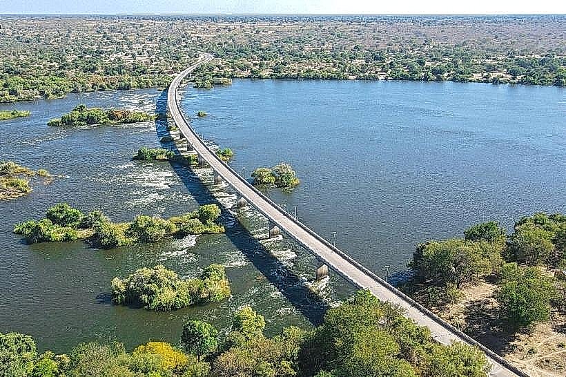
Kwando River – 1.5km West
Mashi Crafts Center – 24.0km North