Information
Landmark: Mahango Game ParkCity: Rundu
Country: Namibia
Continent: Africa
Mahango Game Park, Rundu, Namibia, Africa
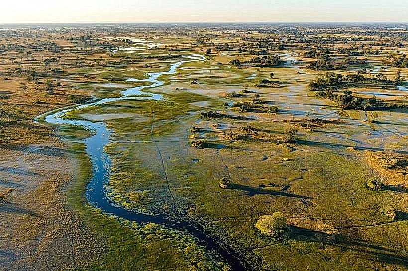
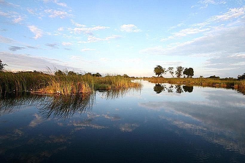
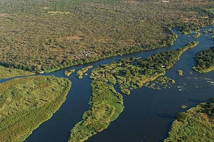
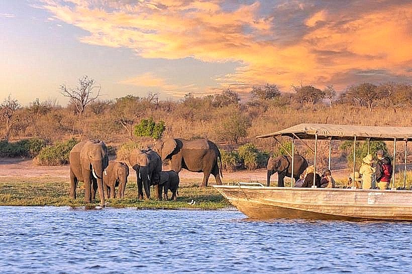
The Bwabwata National Park Mahango Core Area is a protected wilderness zone situated on the western bank of the Okavango River in the Kavango East Region. It spans approximately 245 square kilometers and is located immediately north of the Mohembo border post with Botswana.
Visual Characteristics
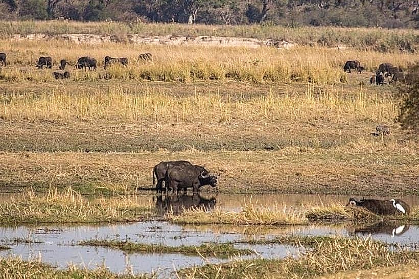
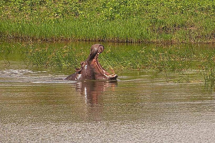
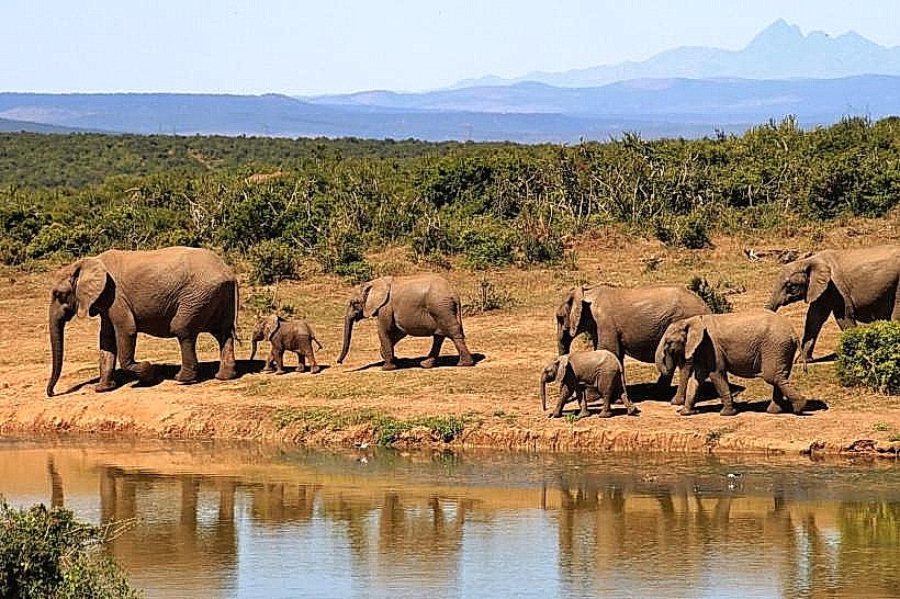
The park features three distinct ecological zones: a perennial riverine front with extensive reed beds and papyrus swamps, the Omuramba Mahango fossil riverbed consisting of open grasslands, and dry Kalahari woodlands dominated by silver terminalia and massive baobab trees. The topography is largely flat, with sandy, light-colored soil transitioning into dark alluvial mud near the riverbank. Large herds of elephants and rare antelope species are frequently visible against the horizontal landscape of the floodplains.
Location & Access Logistics
Access is via the C48 road, which is a well-maintained gravel surface connecting Divundu to the Mohembo border. The park entrance is approximately 15km south of Divundu and the B8 national highway. Most transit tracks within the park are navigable with a 2WD vehicle during the dry season, though the "River Drive" requires a high-clearance 4WD due to deep sand and potential waterlogged sections. Parking and registration occur at the park office located directly off the C48.
Historical & Ecological Origin
The area was originally proclaimed as the Mahango Game Reserve in 1986 before being integrated into the larger Bwabwata National Park in 2007. Geologically, the park lies within the Kalahari Basin, with its western section characterized by deep wind-blown sands and its eastern boundary defined by the active flow of the Okavango River. It is a critical corridor for trans-boundary wildlife movement within the Kavango-Zambezi Transfrontier Conservation Area (KAZA TFCA).
Key Highlights & Activities
Self-drive game viewing is the primary activity, with specific focus on spotting rare Roan and Sable antelope, as well as Red Lechwe in the marshlands. Birdwatching is highly productive, with over 400 recorded species including the wattled crane and African skimmer. There are designated picnic spots near the river and a large, iconic baobab tree that serves as a landmark for photography and short-duration stops.
Infrastructure & Amenities
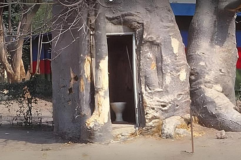
Infrastructure is minimal to maintain the park's wilderness character; there are basic public restrooms at the park entrance gate and at the picnic sites. There are no food vendors, shops, or fuel stations inside the park; all supplies and fuel must be obtained in Divundu, 15km to the north. 4G cellular signal is available near the park entrance but becomes weak or non-existent in the central and southern woodland sectors.
Best Time to Visit
The dry season from May to October is the optimal time for wildlife viewing as animals congregate at the Okavango River and permanent waterholes. For birding, the rainy season from November to April is preferred when migratory species are present. Early morning (06:30–09:00) provides the best lighting for photography of the floodplains and increases the likelihood of predator sightings.
Facts & Legends
The park is home to one of the largest populations of baobab trees in the region, with some specimens estimated to be over 1,000 years old. A local historical oddity is the presence of the "Giant Baobab" near the river, which was reportedly used as a lookout post by early hunters and travelers. A specific tip for visitors: the Mahango Core Area is one of the few places in Namibia where you can reliably see the Sitatunga, an aquatic antelope that hides in the deep papyrus reeds.
Nearby Landmarks
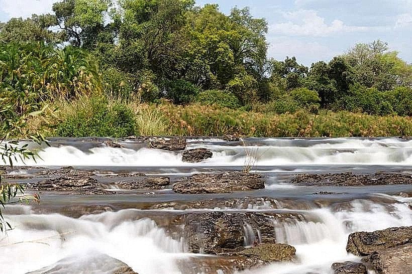
Popa Falls – 14.5km North
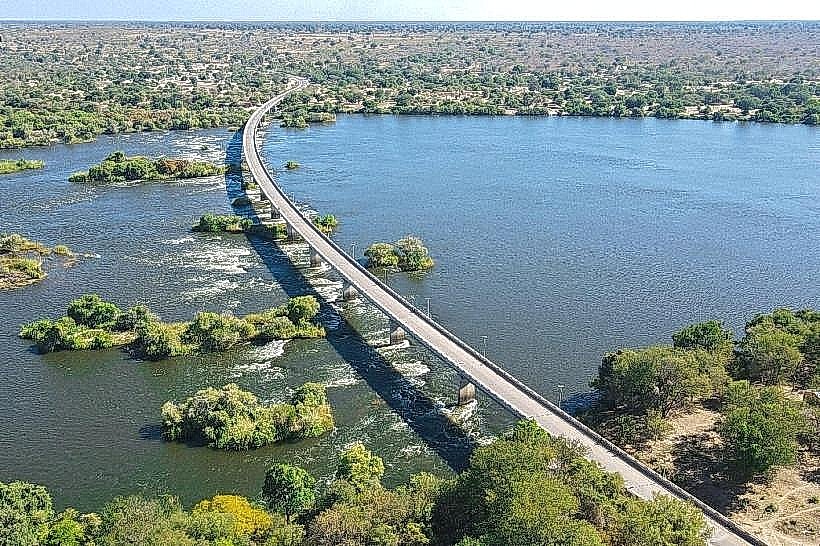
Divundu Bridge – 19.8km North
Mohembo Border Post – 12.0km South
Buffalo Core Area – 18.5km Northeast