Information
Landmark: Nkasa Rupara National ParkCity: Rundu
Country: Namibia
Continent: Africa
Nkasa Rupara National Park, Rundu, Namibia, Africa
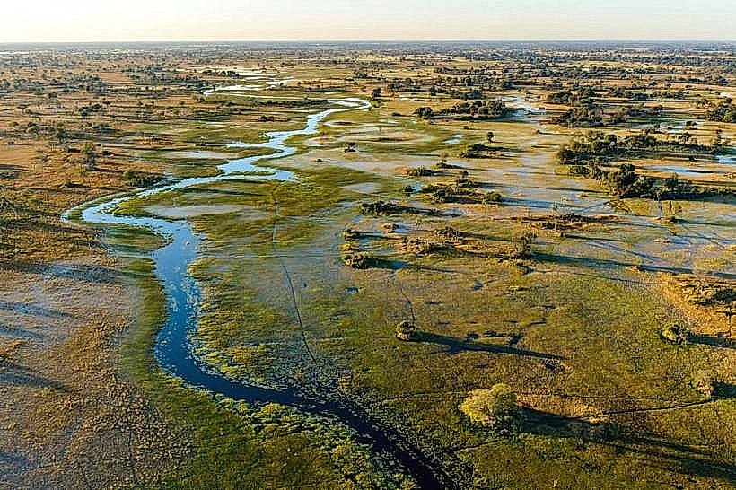
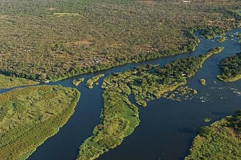
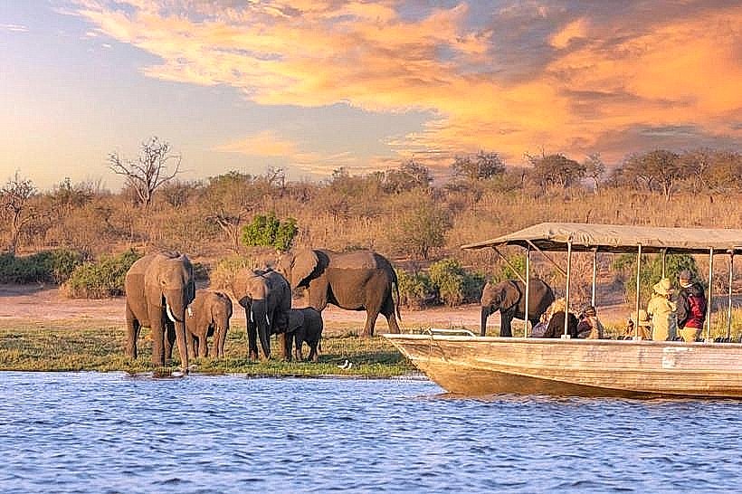
Nkasa Rupara National Park is a 320-square-kilometer wetland wilderness located in the southwestern corner of the Zambezi Region, Namibia. It is the largest protected wetland in the country, situated between the Linyanti and Kwando rivers.
Visual Characteristics
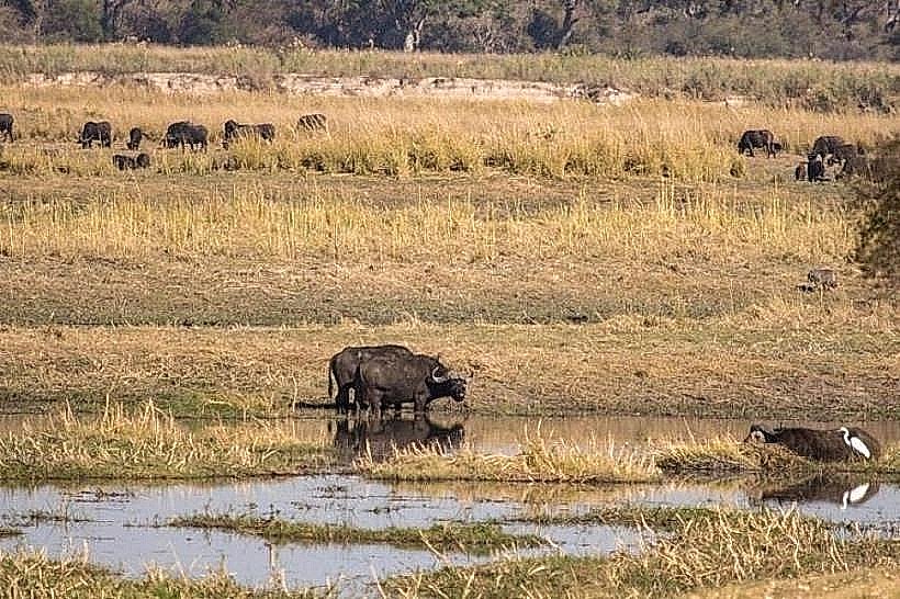
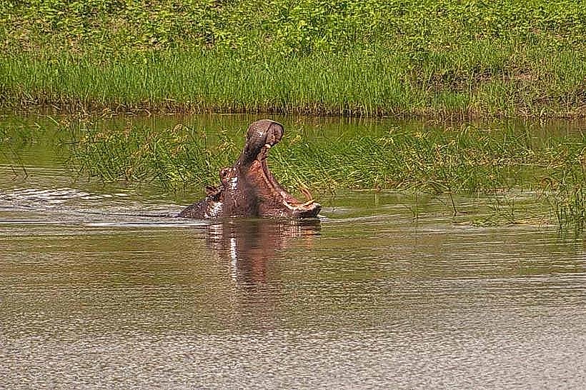
The park is characterized by a complex network of perennial river channels, reed beds, and seasonally flooded lily-covered lagoons. The dry land consists of small, palm-studded islands and open grasslands dominated by camel-thorn and leadwood trees. During the peak flood season, approximately 80% of the park surface is submerged, creating a landscape that mirrors the Okavango Delta.
Location & Access Logistics
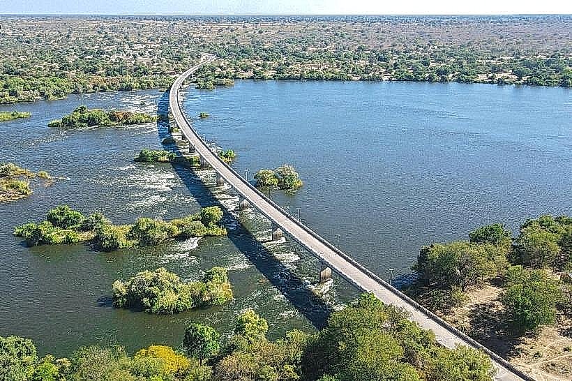
The park is located approximately 130km west of Katima Mulilo. Access is via the C49 (Linyanti Road) to the village of Sangwali, followed by a sandy track leading to the Shiwali ranger station. A high-clearance 4WD vehicle is strictly required for all internal tracks due to deep, heavy sand and multiple water crossings. During high floods (May–July), certain sections become inaccessible by vehicle.
Historical & Ecological Origin
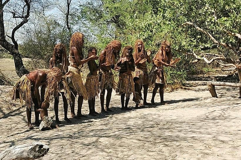
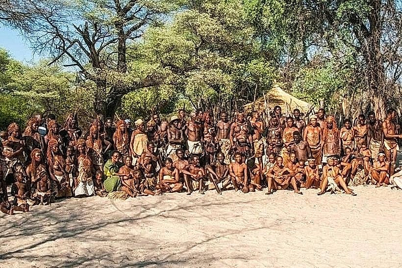
Formerly known as Mamili National Park, the site was proclaimed in 1990 to protect the unique Linyanti swamp ecosystem. Geologically, the park lies within a tectonic depression that collects the spillover from the Kwando River. It functions as a critical trans-boundary sanctuary for wildlife moving between Namibia and Botswana’s Chobe National Park.
Key Highlights & Activities
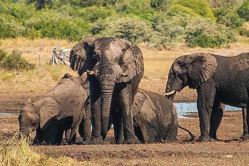
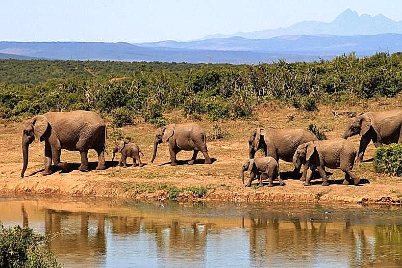
Wildlife viewing focuses on large herds of African buffalo and elephants, as well as the rare, semi-aquatic sitatunga and red lechwe. Guided boat excursions and dugout canoe (wato) trips are the primary means of exploring the channels during high water. Birdwatching is exceptional, with over 430 species recorded, including the wattled crane and slaty egret.
Infrastructure & Amenities
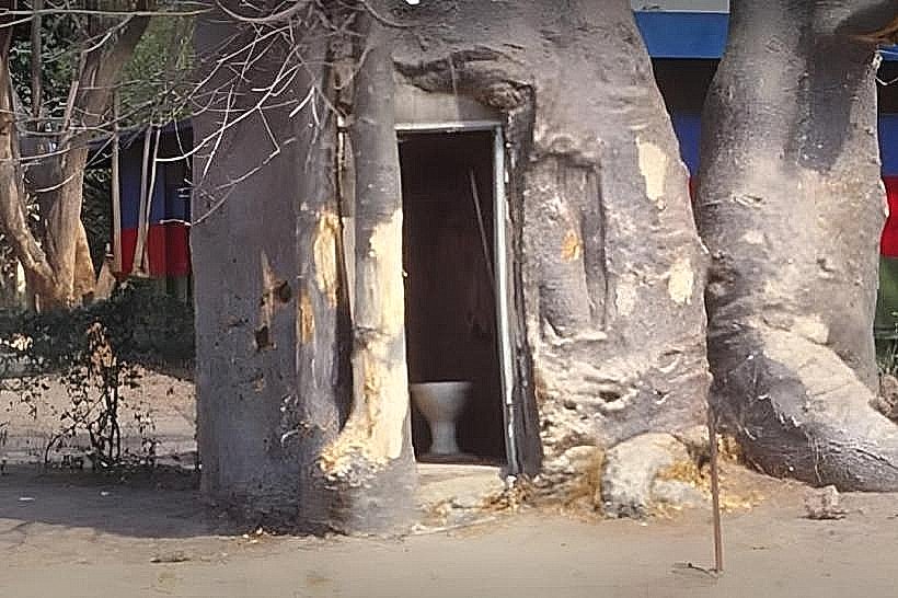
Infrastructure is minimal and geared toward self-sufficient travelers. The park contains a ranger station at Shiwali and several basic community-managed campsites with rustic ablution facilities. There are no food vendors, fuel stations, or shops within the park; all supplies must be sourced in Katima Mulilo or Kongola. Cellular signal is weak and generally only available near the park boundaries.
Best Time to Visit
The dry season from August to October offers the best vehicle accessibility and highest concentrations of wildlife as water levels recede. For birdwatching, the rainy season (November to April) is optimal. Photography is best in the late afternoon to capture the light reflecting off the extensive water channels and floodplains.
Facts & Legends
Nkasa Rupara is home to the largest concentration of buffalo in Namibia, with herds often numbering over 1,000 individuals. Local legend suggests that the islands were historically used as refuge points for the Mafwe people during regional conflicts. A logistical tip for visitors: always check with the Shiwali ranger station regarding current water depths at the "Linyanti bridge" before attempting internal crossings.
Nearby Landmarks
Sangwali Village – 5.2km North
Nkasa Lupala Tented Lodge – 2.5km North
Linyanti River – 0.5km South
Mudumu National Park – 42.0km Northwest