Information
Landmark: Salambala ConservancyCity: Rundu
Country: Namibia
Continent: Africa
Salambala Conservancy, Rundu, Namibia, Africa
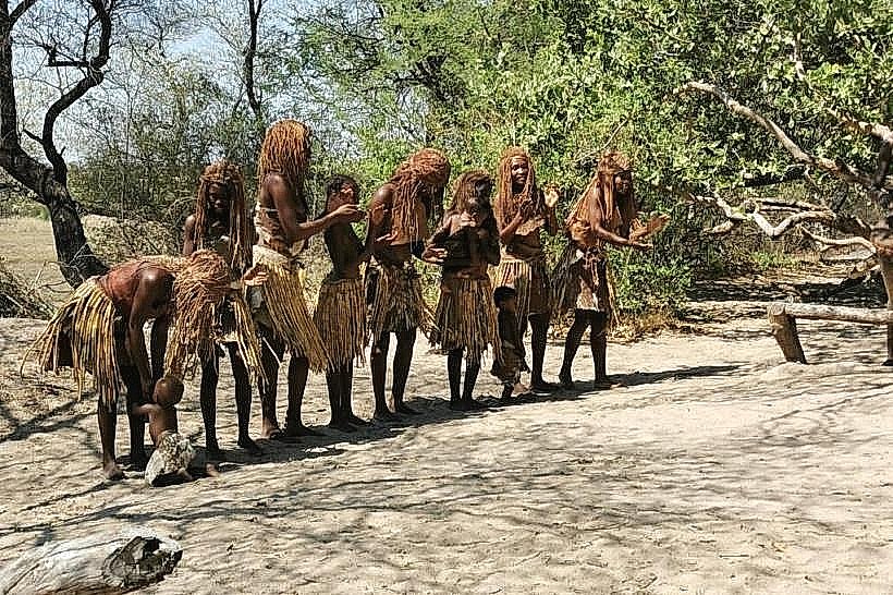
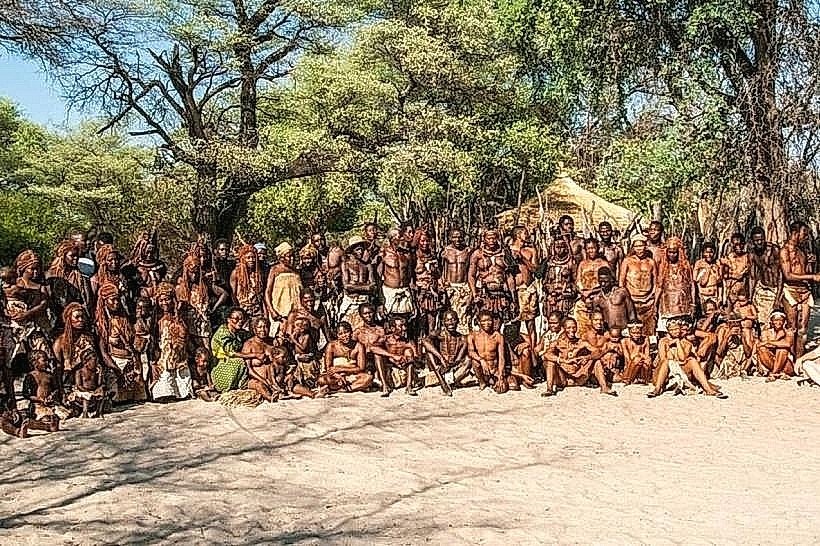
Salambala Conservancy is a 93,000-hectare communal conservation area located in the Zambezi Region of northeastern Namibia. It was established in 1998 as one of the country’s first four communal conservancies, managed by the local Basubiya community to integrate wildlife conservation with sustainable rural development.
Visual Characteristics
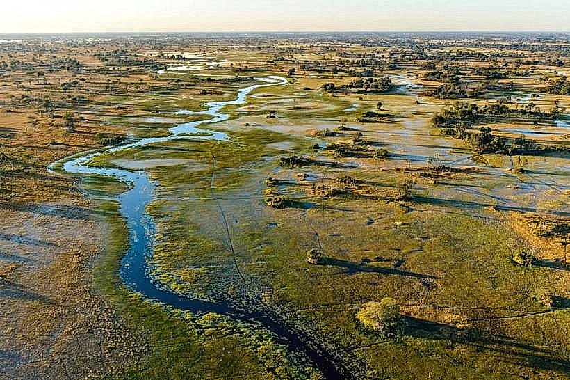
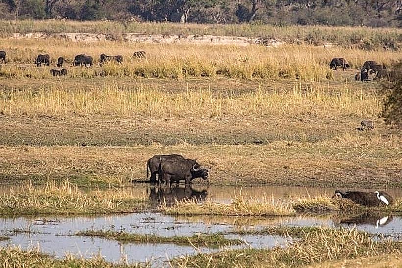
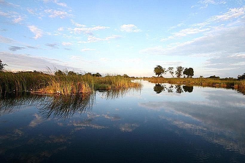
The conservancy is dominated by expansive mopane woodlands and vast seasonal floodplains. The terrain is largely flat, featuring heavy grey clay soils in the flood-prone areas and lighter Kalahari sands in the wooded interior. Large clusters of camel-thorn and leadwood trees are distributed across the landscape, which is bisected by numerous ephemeral drainage channels that fill during the summer rains.
Location & Access Logistics
The site is situated approximately 50km southeast of Katima Mulilo. Access is via the M125 (Ngoma Road), which is a tarred surface leading toward the Ngoma border post with Botswana. The conservancy entrance and the Salambala campsite are reached via a signposted gravel track. A high-clearance 4WD vehicle is required for internal exploration, especially during the rainy season when the black cotton soil becomes impassable.
Historical & Ecological Origin
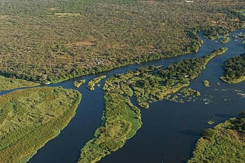
The area was historically a royal hunting ground for the Basubiya chiefs. Following a period of significant wildlife depletion, the conservancy was formed to restore biodiversity through community-led protection. Geologically, it sits within the Zambezi flood system. It serves as a vital ecological corridor for elephants and buffalo moving between Botswana's Chobe National Park and the Zambezi River.
Key Highlights & Activities
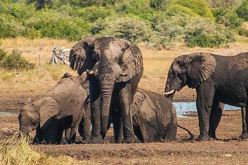
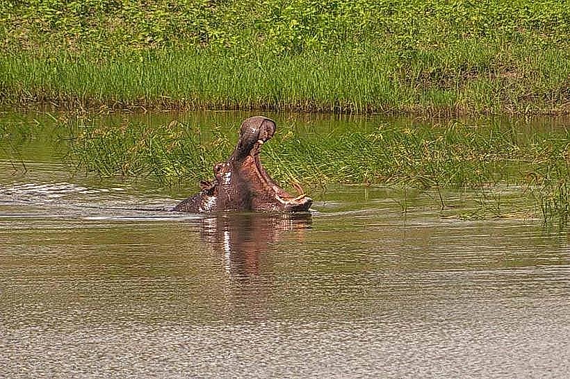
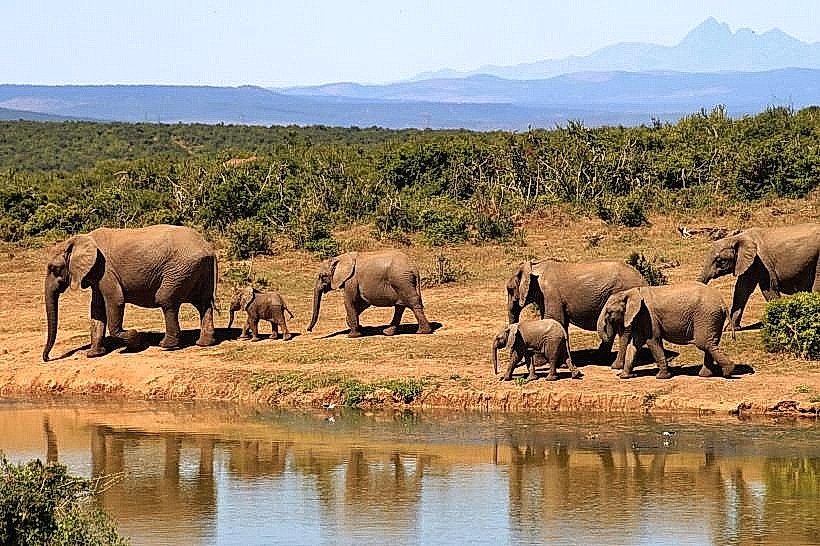
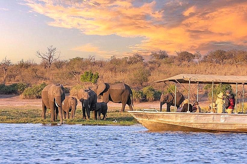
Wildlife viewing is the primary activity, with frequent sightings of elephants, zebras, and various antelope species. The conservancy features several dedicated "wildlife-only" zones where human settlement is prohibited. Birdwatching is productive, particularly for woodland and savanna species. The Salambala Campsite offers rustic accommodation nestled within a dense mopane forest.
Infrastructure & Amenities
Infrastructure is minimal and emphasizes communal management. The Salambala Campsite provides basic ablution facilities, firewood, and shaded sites. There is no grid electricity or treated water on-site; visitors must be self-sufficient. Full retail services, fuel, and medical facilities are located in Katima Mulilo. 4G cellular signal is weak and intermittent across the interior.
Best Time to Visit
The dry winter months from June to October are optimal for wildlife viewing as animals congregate at permanent waterholes. During the rainy season (November to April), the conservancy experiences high humidity and the internal tracks are prone to flooding. Late afternoon is the best time for photography to capture the light through the mopane canopy.
Facts & Legends
A unique feature of Salambala is its "core area," a 14,000-hectare zone specifically fenced to exclude livestock, allowing wildlife populations to recover. Local Basubiya tradition holds the "Salambala" forest as a place of historical significance where tribal meetings and ceremonies were conducted under the protection of the ancestors.
Nearby Landmarks
Ngoma Border Post (Botswana) – 20.0km Southeast
Chobe River – 18.0km East
Katima Mulilo Town Centre – 50.0km Northwest
Bukalo Settlement – 15.0km North