Information
Landmark: Ljubišnja MountainCity: Pljevlja
Country: Montenegro
Continent: Europe
Ljubišnja Mountain, Pljevlja, Montenegro, Europe
Ljubišnja is a high mountain massif located in the northwestern part of Montenegro, forming part of the border with Bosnia and Herzegovina. Its highest peak, Dernečište, reaches an elevation of 2,238 meters, making it the highest point in the Pljevlja municipality.
Visual Characteristics
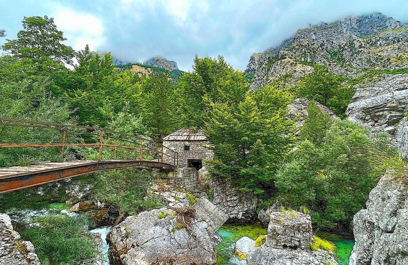
The massif is characterized by a massive limestone base and extensive karst topography including deep sinkholes and ridges. The lower slopes are covered in dense primary forests of spruce and fir, transitioning into subalpine meadows and bare rock at higher elevations. Massive scree slopes and steep cliffs define the northern and western faces.
Location & Access Logistics
The mountain is situated approximately 30km west of Pljevlja. Access is via the regional road toward the village of Gradac and the mining settlement of Šula. From Šula, a macadam road suitable for off-road vehicles leads to the mountain base; however, the final ascent to the peaks is possible only via marked hiking trails. There is no public transport serving the mountain directly.
Historical & Ecological Origin
Ljubišnja is part of the Dinaric Alps, formed through the folding of Mesozoic limestone layers. The area is an ecologically significant habitat for large carnivores, including brown bears and wolves. Historically, the mountain served as a remote refuge for local populations and as a significant timber resource for the regional mining industry.
Key Highlights & Activities
Mountain climbing to the Dernečište peak provides panoramic views of the Durmitor, Maglić, and Bioč ranges. Backcountry skiing is possible in winter, though there are no lifts or groomed slopes. The area is frequented by professional foragers for rare alpine herbs and mushrooms, particularly in the late summer.
Infrastructure & Amenities
Infrastructure is extremely limited; there are no permanent restrooms, shops, or food vendors on the mountain. Shelter is limited to a few seasonal shepherd huts (katuns) and basic mountain huts which may require prior arrangement for access. Cell phone signal is unreliable and frequently switches to Bosnian roaming networks.
Best Time to Visit
The optimal window for hiking is from late June to September to avoid deep snow packs that linger in the ravines. For botanical photography, June and July are best for alpine wildflower blooms. High-altitude thunderstorms are frequent in summer afternoons, necessitating early morning starts for peak ascents.
Facts & Legends
According to local legend, the mountain was named "Ljubišnja" (derived from the word "ljubav," meaning love) based on a story of a medieval ruler, Herceg Stjepan, who reportedly fell in love with his son's bride-to-be while camping on the slopes. A unique "secret" is the presence of the endemic Bosnian lily (Lilium bosniacum), which grows in the high meadows.
Nearby Landmarks
Šula Mining Village: 8.5km Southeast
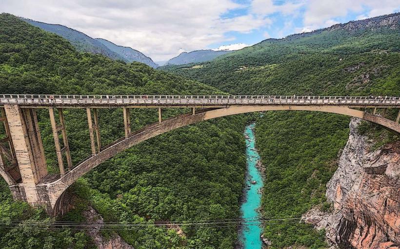
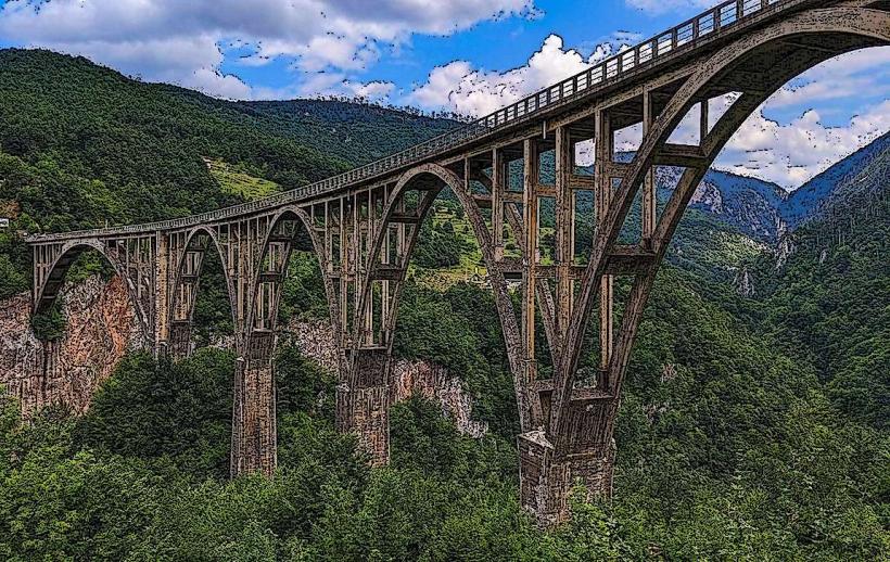
Tara River Canyon: 4.8km Southwest
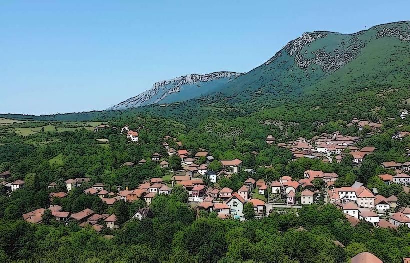
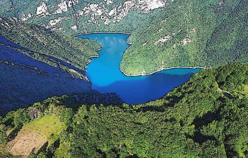
Meštrevac Village: 4.2km West
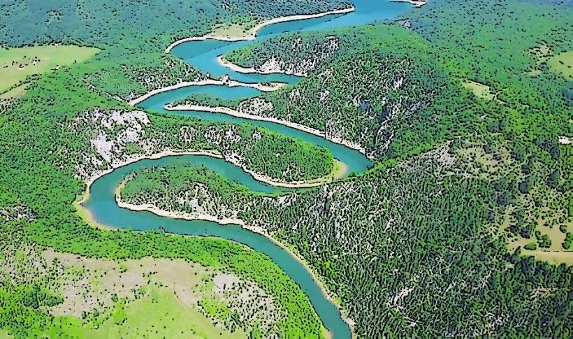
Drina River Valley: 5.0km West