Information
Landmark: Caldera de TaburienteCity: La Palma
Country: Canary Islands
Continent: Europe
Caldera de Taburiente, La Palma, Canary Islands, Europe
The Caldera de Taburiente is a massive erosion caldera located in the central part of the island of La Palma, one of Spain's Canary Islands.
This geological formation constitutes a national park characterized by steep, forested slopes and a deep central depression.
Visual Characteristics
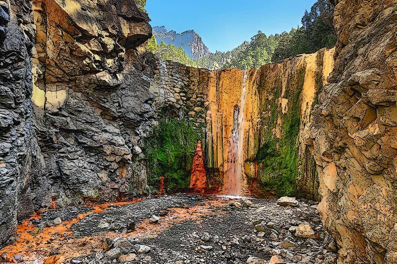
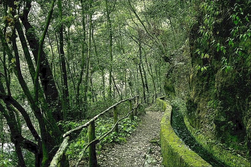
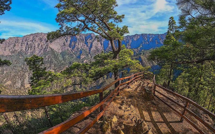
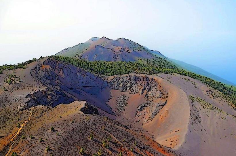
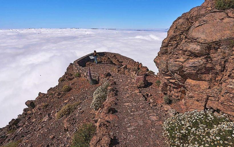
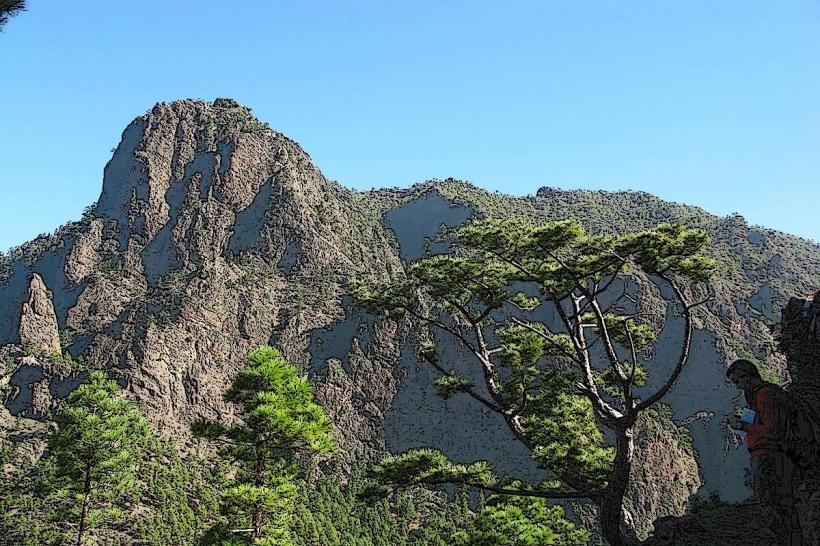
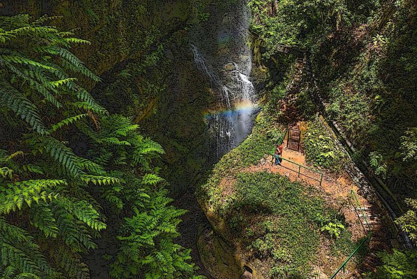
The caldera features a circular depression approximately 8 kilometers in diameter, with walls rising up to 2,000 meters above the caldera floor. The dominant colors are the dark green of extensive Canary pine forests, interspersed with the grey and reddish-brown hues of exposed volcanic rock formations. Water flows through the Barranco de las Angustias, often appearing clear, carving a path through the rock. Vegetation density is high on the slopes, transitioning to sparser growth in the riverbed.
Location & Access Logistics
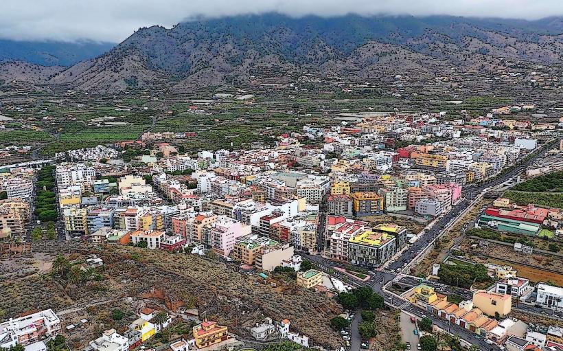
The Caldera de Taburiente National Park is centrally located on La Palma. The primary access point for viewpoints is the Mirador de la Cumbrecita, reached via the LP-302 road, which branches off the LP-3 near El Paso. Parking at La Cumbrecita is limited and often requires prior reservation, especially during peak seasons. For hiking into the caldera floor, access is typically via the Barranco de las Angustias. From Los Llanos de Aridane, a 4x4 taxi service transports visitors to the start of the trail at Dos Aguas. There is no direct public transport into the caldera itself; local bus lines (e.g., Line 300) connect surrounding towns like El Paso and Los Llanos de Aridane.
Historical & Ecological Origin
The Caldera de Taburiente is not a volcanic crater formed by an eruption, but rather an erosion caldera. It originated from the collapse and subsequent extensive erosion of a large shield volcano, with water and landslides carving out the massive depression over millions of years. It was designated a National Park in 1954, primarily to protect its unique geological features and endemic flora and fauna, including the Canary pine and various laurel forest remnants.
Key Highlights & Activities
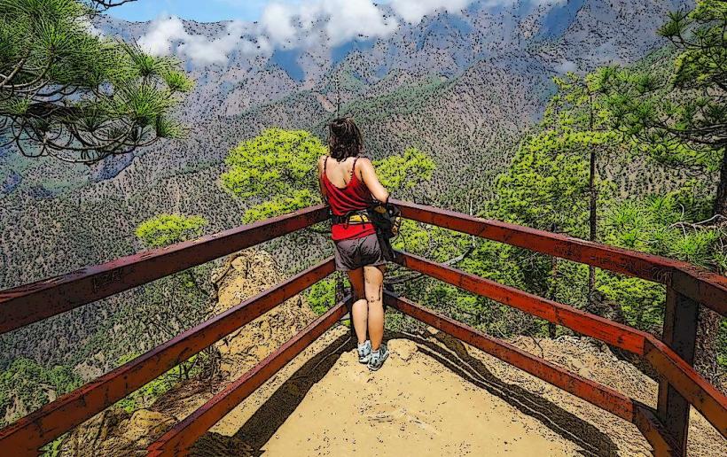
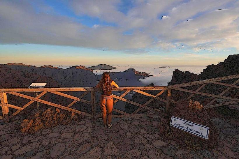
Hiking is the primary activity, with trails ranging from easy walks to strenuous multi-day treks. The descent from Roque de los Muchachos into the caldera is a challenging full-day hike. Shorter walks include the trail from La Cumbrecita to Lomo de las Chozas. The Barranco de las Angustias offers a riverbed walk, leading to the Cascada de Colores (Colored Waterfall). Photography opportunities are abundant from various viewpoints (miradores) along the caldera rim.
Infrastructure & Amenities
A Visitor Center is located outside the caldera near El Paso, offering information, exhibits, and restrooms. Within the caldera, infrastructure is minimal. Restrooms are available at the Visitor Center and sometimes at specific trailheads like La Cumbrecita. Shade is generally available along forested trails. Cell phone signal (4G/5G) is intermittent and often poor within the deep parts of the caldera. There are no food vendors or shops inside the national park; visitors must carry their own provisions. Emergency shelters are present on some longer trails.
Best Time to Visit
The best months for visiting are spring (April to June) and autumn (September to November) when temperatures are mild and rainfall is lower. For photography, early morning or late afternoon light provides softer illumination and reduces harsh shadows within the deep valleys. The Barranco de las Angustias trail is best undertaken during dry periods; avoid visiting after heavy rainfall due to the risk of flash floods.
Facts & Legends
The term "caldera" is a misnomer for Caldera de Taburiente, as it is an erosion feature rather than a volcanic crater. During the Castilian conquest of the Canary Islands, the caldera served as a final refuge for the indigenous Benahoaritas (Guanches) under their leader Tanausú. A practical tip for hiking the Barranco de las Angustias is to arrange a taxi from Los Llanos de Aridane to the upper trailhead at Dos Aguas, allowing for a downhill walk through the riverbed to the parking area where return transport can be arranged.
Nearby Landmarks
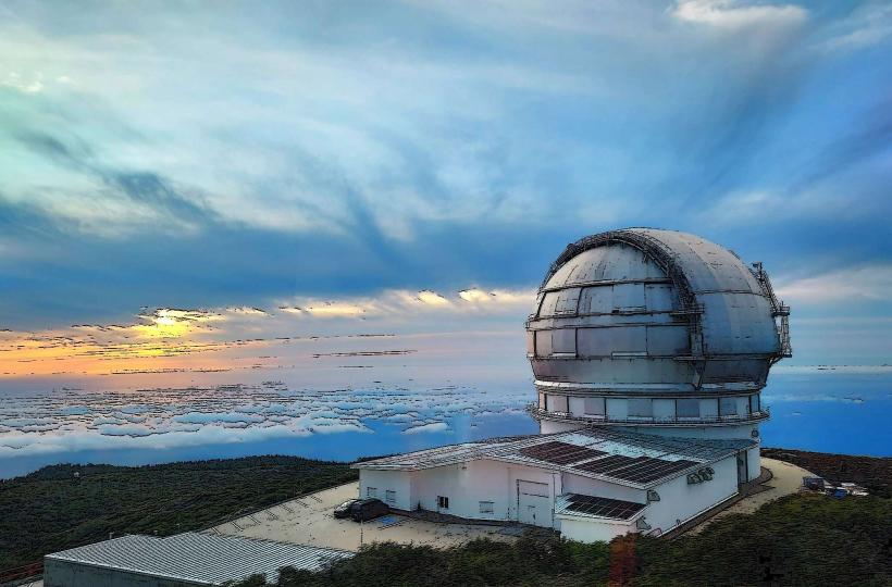
- Roque de los Muchachos Observatory: ~10km North-Northeast
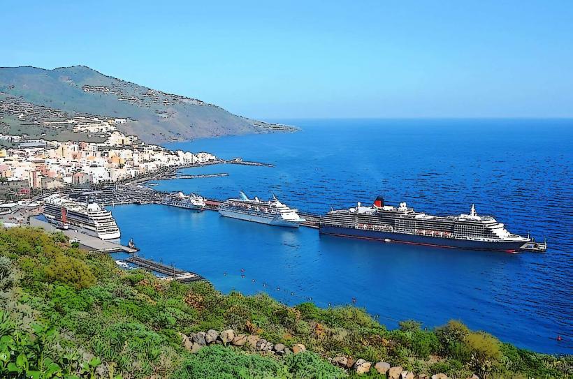
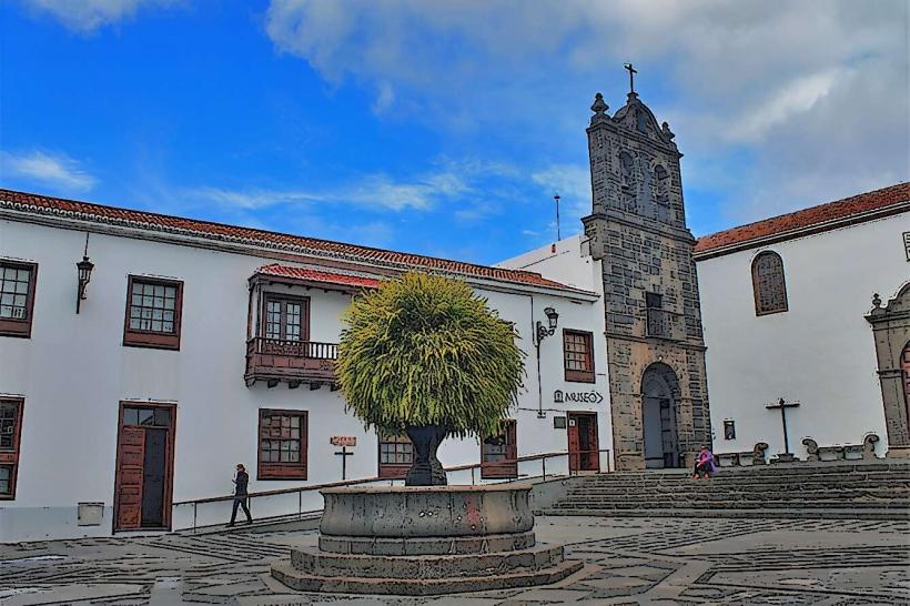
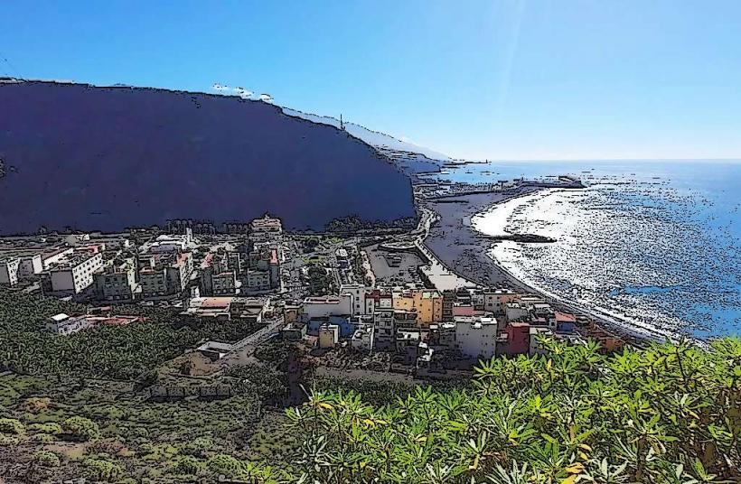
- Los Llanos de Aridane: ~5km West
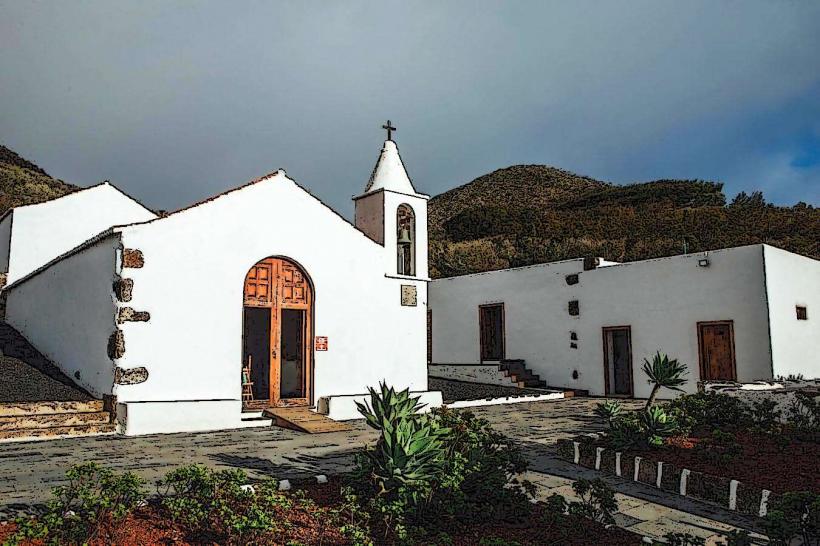
- El Paso: ~3km South-Southwest
- Mirador de la Cumbrecita: On the eastern rim
- Cascada de Colores: Inside the caldera, accessible via Barranco de las Angustias trail