Information
Landmark: Los Llanos de AridaneCity: La Palma
Country: Canary Islands
Continent: Europe
Los Llanos de Aridane, La Palma, Canary Islands, Europe
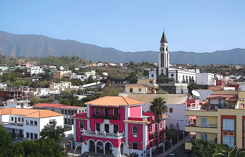
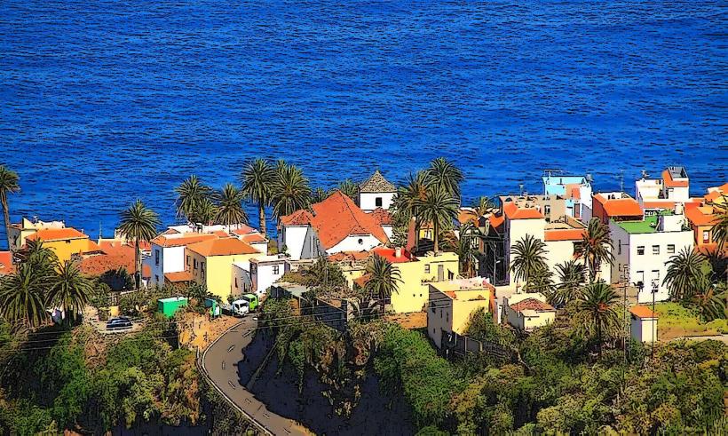
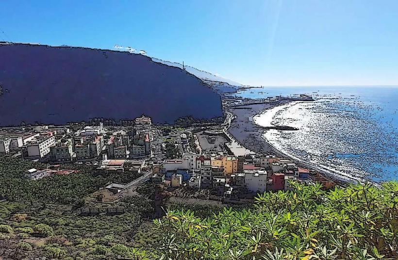
Los Llanos de Aridane is a municipality and the second-largest urban center on the island of La Palma, situated in the western region of the Canary Islands. It functions as a primary commercial and administrative hub for the Aridane Valley.
Visual Characteristics
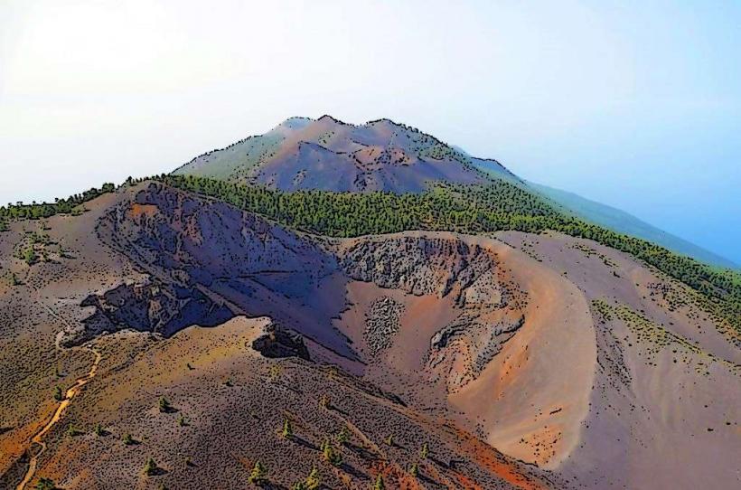
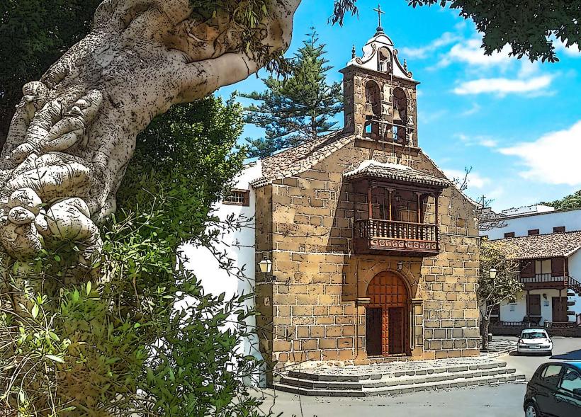
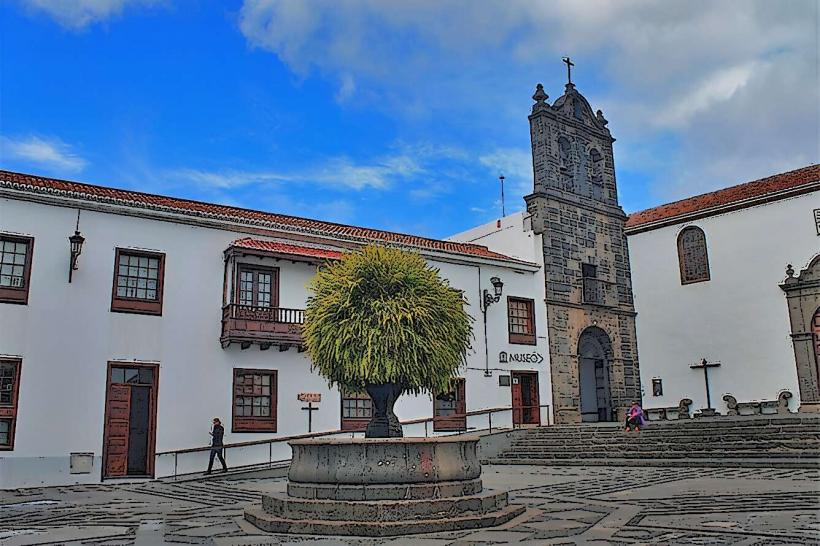
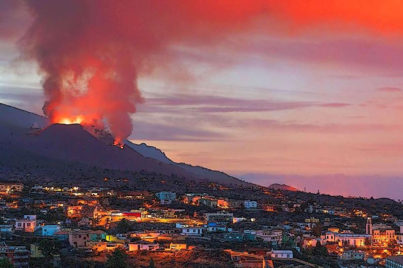
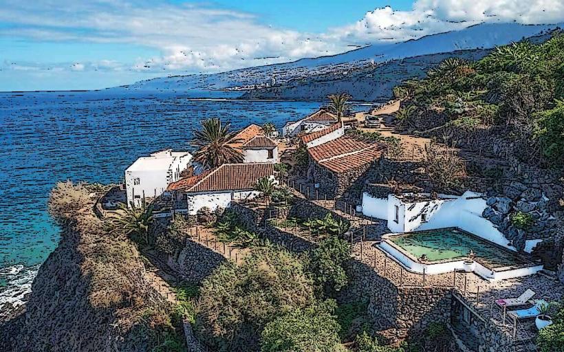
The town exhibits a blend of traditional Canarian architecture, characterized by white-washed buildings with wooden balconies and tiled roofs, alongside more contemporary structures. The central areas feature well-maintained plazas, such as Plaza de España, adorned with laurel trees and fountains. The surrounding landscape transitions from urban development to agricultural terraces cultivating bananas and avocados, backed by volcanic terrain.
Location & Access Logistics
Los Llanos de Aridane is located approximately 30 kilometers west of Santa Cruz de La Palma, the island's capital. Access from the capital is primarily via the LP-3 tunnel, which connects the east and west sides of the island, followed by the LP-2 road. Public parking is available in several underground car parks and designated street zones within the town center. The town is served by local bus lines, including Line 300, which connects it to Santa Cruz de La Palma, and Line 200, linking it to other towns in the Aridane Valley and the coast.
Historical & Ecological Origin
The settlement of Los Llanos de Aridane originated in the 16th century, developing from an agricultural community focused on sugarcane cultivation. Its strategic location in the fertile Aridane Valley contributed to its growth as a significant population and economic center. The municipality's name, "Llanos," refers to the flat plains, while "Aridane" is derived from the indigenous Guanche language, indicating its historical roots.
Key Highlights & Activities
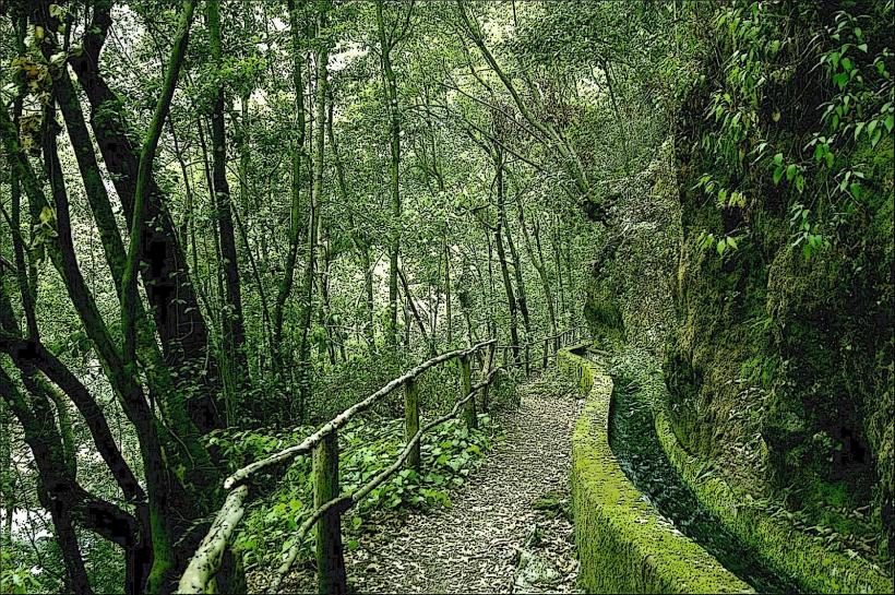
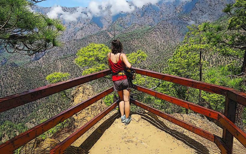
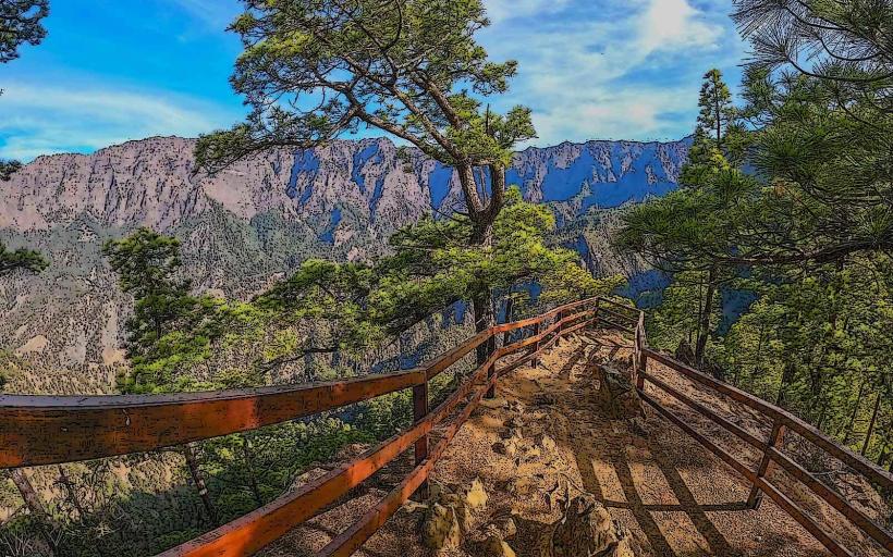
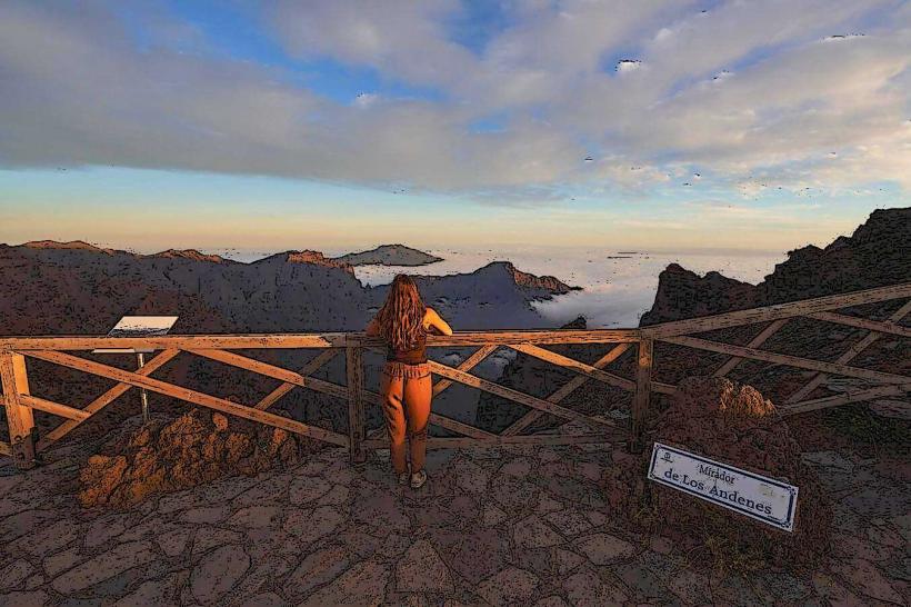
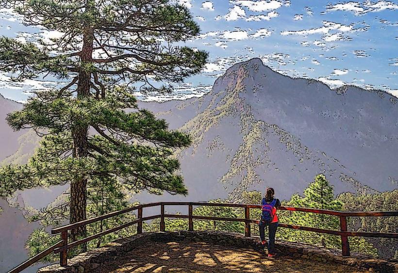
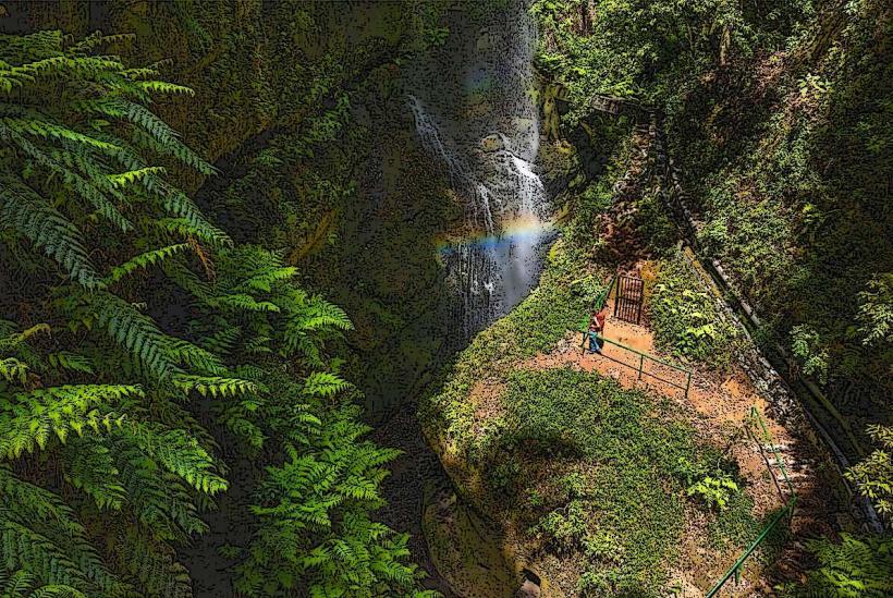
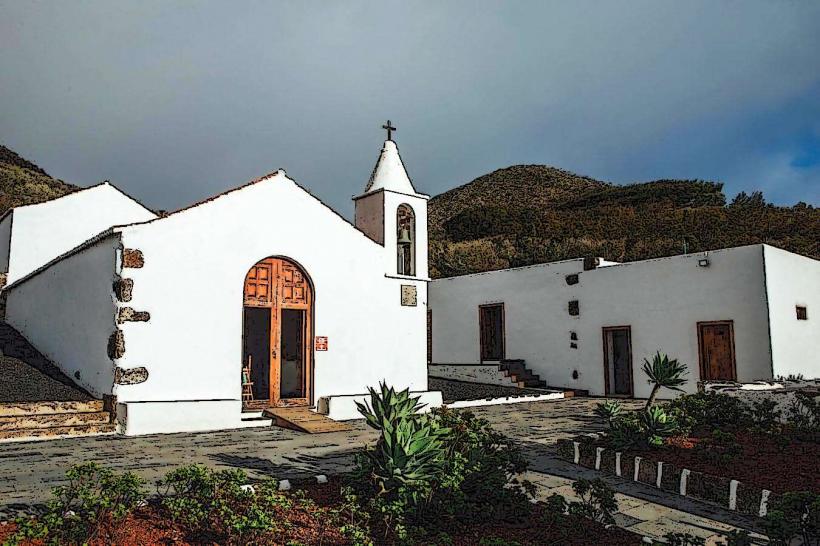
Visitors can explore the historic town center, including the Plaza de España and the adjacent Iglesia de Nuestra Señora de los Remedios. The town hosts a municipal market offering local produce and crafts. Los Llanos de Aridane serves as a gateway to the Caldera de Taburiente National Park, with several hiking trails accessible from nearby areas. Shopping opportunities are extensive, ranging from local boutiques to larger retail stores.
Infrastructure & Amenities
Public restrooms are available in various locations, including the bus station and some commercial centers. The town's plazas and tree-lined streets provide natural shade. Cell phone signal (4G/5G) is generally strong throughout the urban area. Numerous restaurants, cafes, and bars offer diverse food and beverage options, particularly around the main squares.
Best Time to Visit
The climate in Los Llanos de Aridane is mild year-round, making it suitable for visits during any season. The months from April to October generally offer the warmest and driest conditions. Mornings and late afternoons provide optimal lighting for photography of the town's architecture and surrounding landscapes. Local festivals, such as the Fiestas de Nuestra Señora de los Remedios in August, offer cultural experiences.
Facts & Legends
Los Llanos de Aridane is known for its vibrant street art, particularly the murals found in the Barrio de Argual and other areas, depicting local history and culture. The town is also a significant center for the cultivation of the Canarian banana, a protected designation of origin product.
Nearby Landmarks
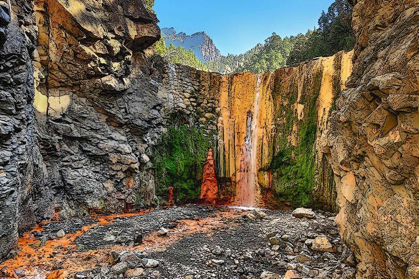
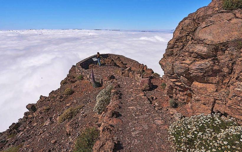
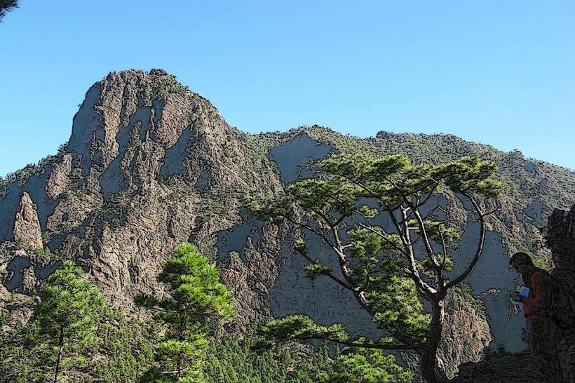
- Caldera de Taburiente National Park (entrance via LP-214 to La Cumbrecita): 10km East
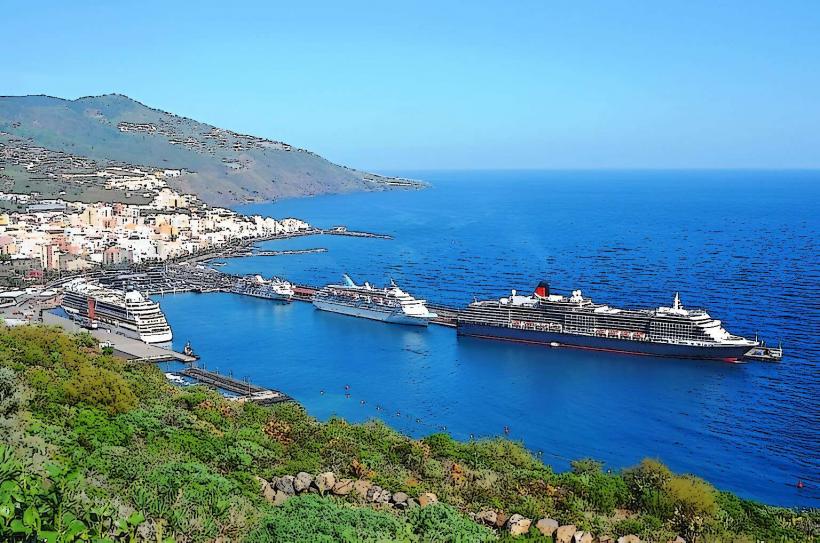
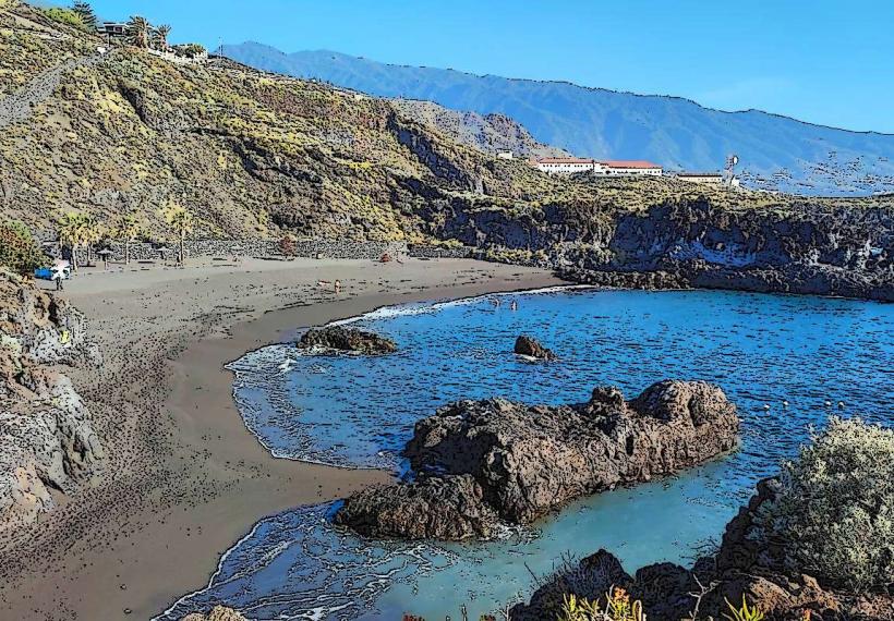
- Puerto de Tazacorte (coastal town and beach): 8km West
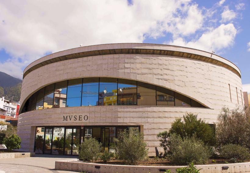
- Museo Arqueológico Benahoarita (archaeological museum in Los Llanos): 0.5km North
- Mirador de la Cumbrecita (viewpoint into Caldera de Taburiente): 12km East
- Parque Cultural de Las Manchas (volcanic landscape and visitor center): 6km South