Information
Landmark: Mirador de la CumbrecitaCity: La Palma
Country: Canary Islands
Continent: Europe
Mirador de la Cumbrecita, La Palma, Canary Islands, Europe
Visual Characteristics
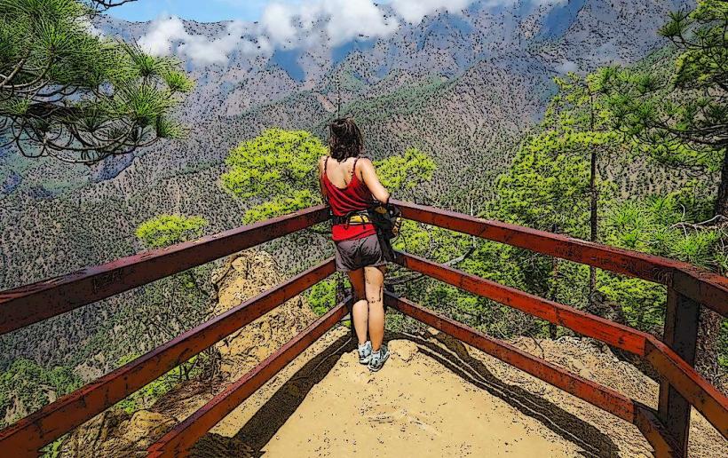
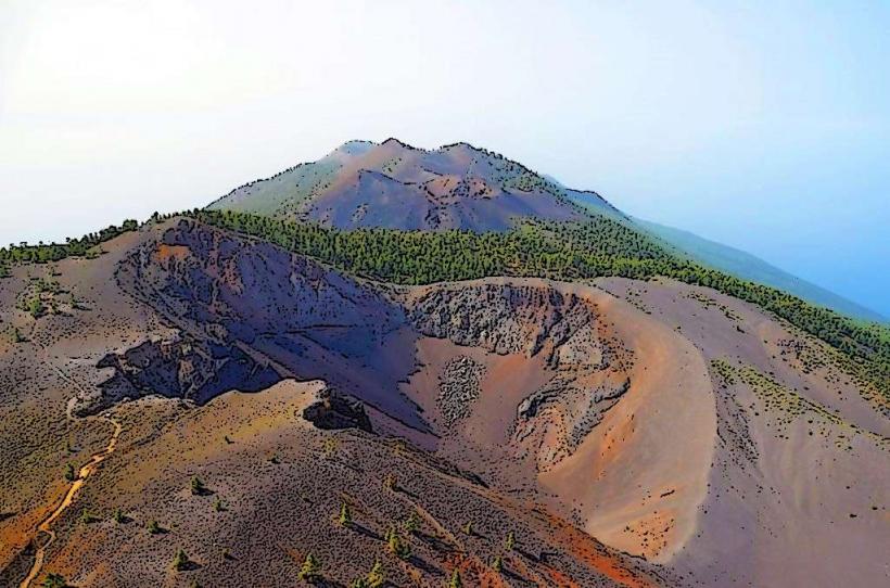
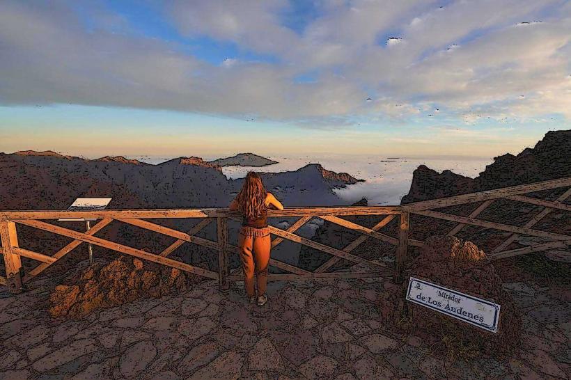
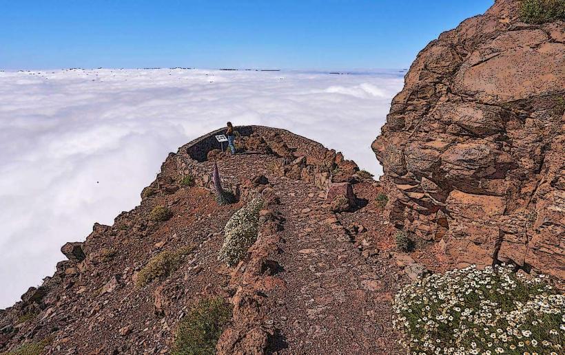
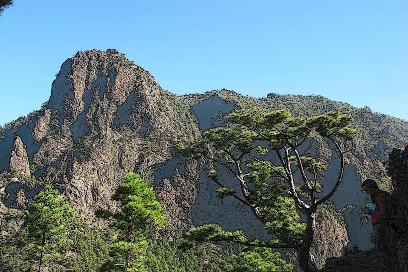
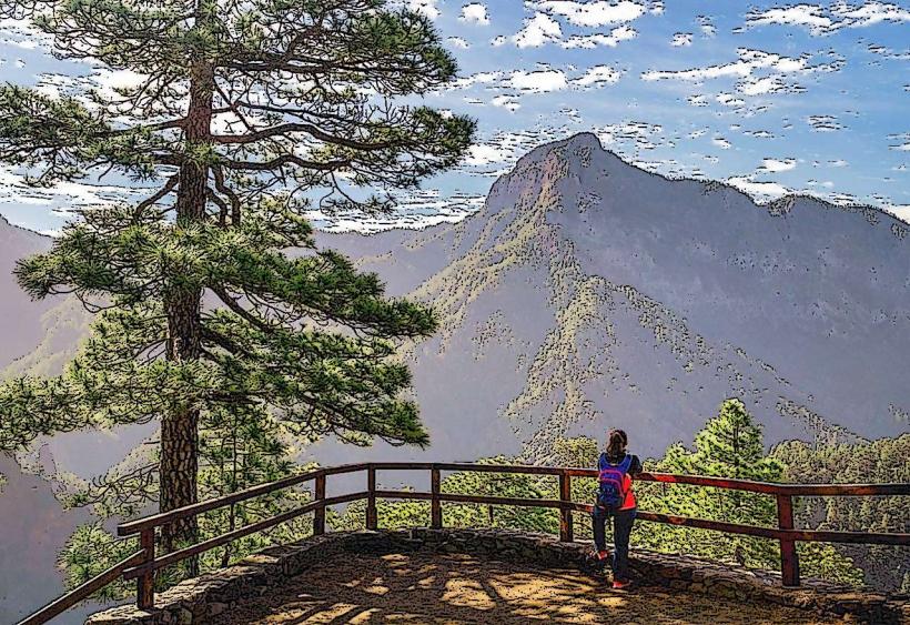
The viewpoint consists of a paved platform equipped with safety railings, offering unobstructed vistas into the vast, erosion-formed caldera. The surrounding landscape is characterized by steep, forested slopes dominated by Canary Pine (Pinus canariensis) and deep ravines, with prominent rock formations visible along the caldera walls. The overall impression is one of a massive, amphitheater-like depression.
Location & Access Logistics
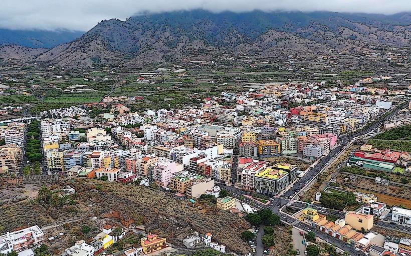
The viewpoint is accessed via the LP-301 road, a narrow and winding route that branches off the main LP-3 highway near the town of El Paso. It is approximately 10km from El Paso town center. Vehicle access to the LP-301 is regulated, particularly during peak hours, requiring a prior reservation for entry due to limited parking availability at the top. There is no direct public transport service to the viewpoint; visitors typically utilize private vehicles or taxis.
Historical & Ecological Origin
The Caldera de Taburiente is classified as a large erosion caldera, rather than a volcanic crater. Its formation commenced approximately 2 million years ago through the collapse and subsequent extensive erosion of a massive shield volcano. This prolonged erosional process has sculpted its distinctive amphitheater-like structure.
Key Highlights & Activities
The primary activity is observing the caldera's interior from the designated viewing platform. Several hiking trails originate from the viewpoint, including a short, accessible path to the Lomo de las Chozas viewpoint. Longer routes, such as the PR LP 13 trail, descend into the caldera towards the Barranco de las Angustias.
Infrastructure & Amenities
Basic restroom facilities are available near the parking area. Natural shade at the immediate viewpoint is limited, though some shaded sections can be found along the initial portions of the hiking trails. Cell phone signal (4G) is generally available. There are no food vendors directly at the viewpoint; the nearest services are located in El Paso.
Best Time to Visit
The optimal time for clear views is typically in the morning, as cloud formations often develop within the caldera by midday, obscuring visibility. The months from April to October generally offer more stable and favorable weather conditions. No specific tide requirements are applicable.
Facts & Legends
A practical tip for visitors is to consult the webcam for Caldera de Taburiente National Park prior to departure, as weather conditions within the caldera can differ significantly from coastal areas and are subject to rapid changes. The immense scale of the caldera led early geologists to initially misclassify it as a true volcanic crater.
Nearby Landmarks
- Lomo de las Chozas Viewpoint: 0.5km North (via hiking trail)
- Pico Bejenado: 3km South-East (prominent peak, hiking access)
- Centro de Visitantes de El Paso: 8km East