Information
Landmark: San Andrés y SaucesCity: La Palma
Country: Canary Islands
Continent: Europe
San Andrés y Sauces, La Palma, Canary Islands, Europe
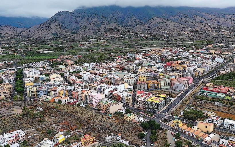
San Andrés y Sauces is a municipality situated on the northeastern coast of La Palma, Canary Islands. It is known for its dense laurel forests and rugged coastal features.
Visual Characteristics
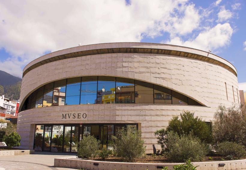
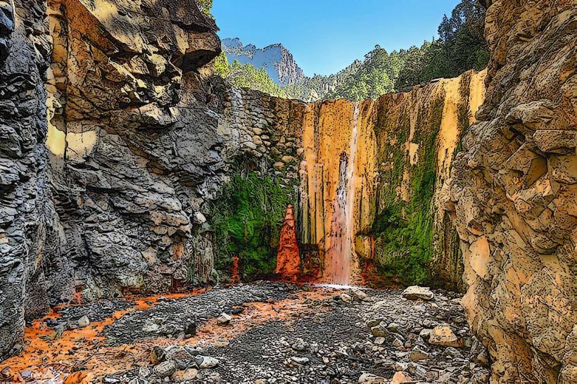
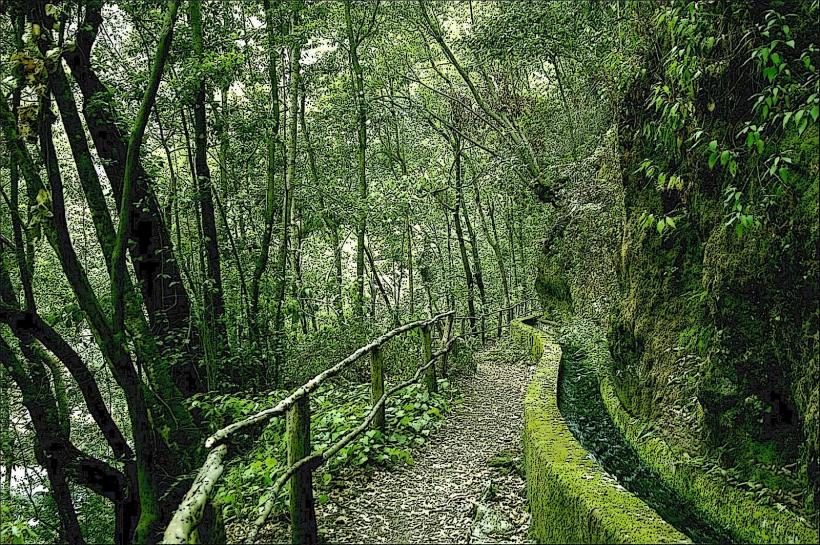
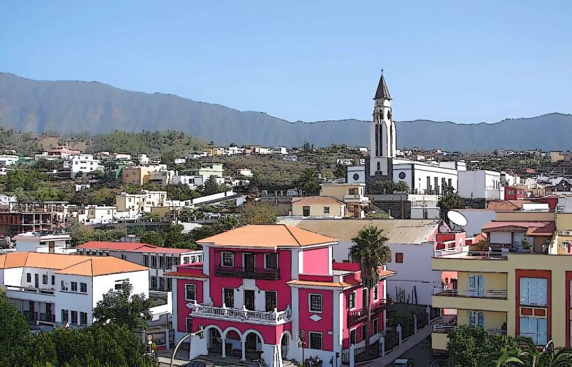
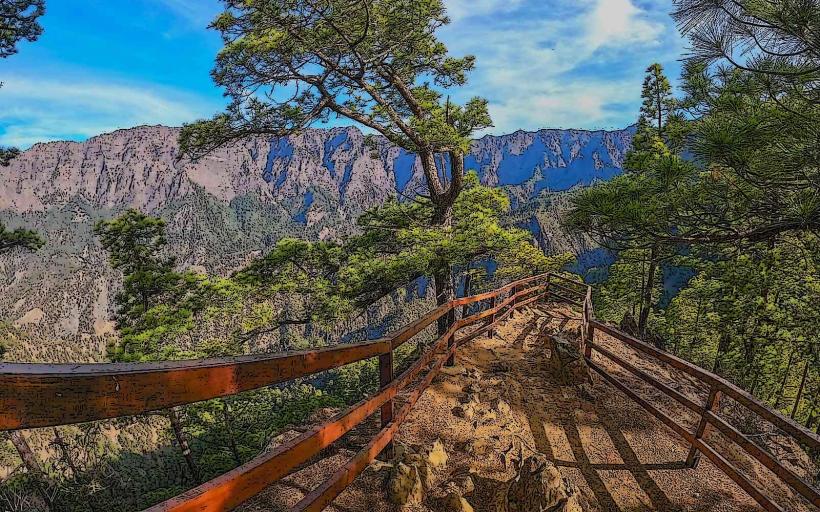
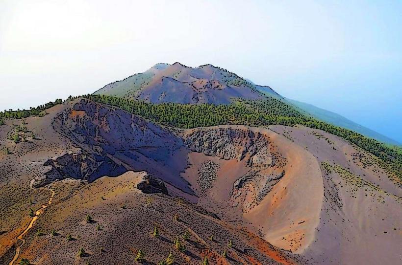
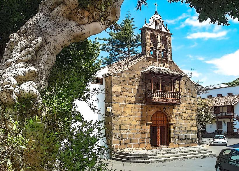
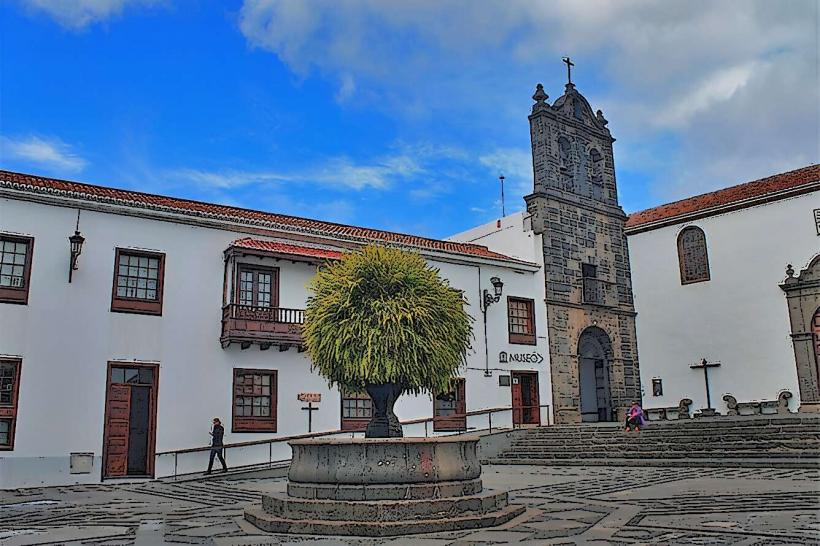
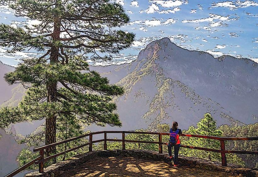
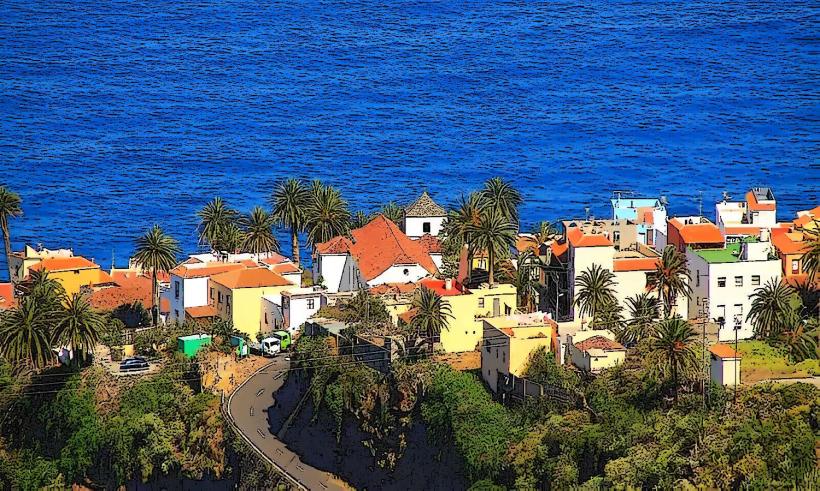
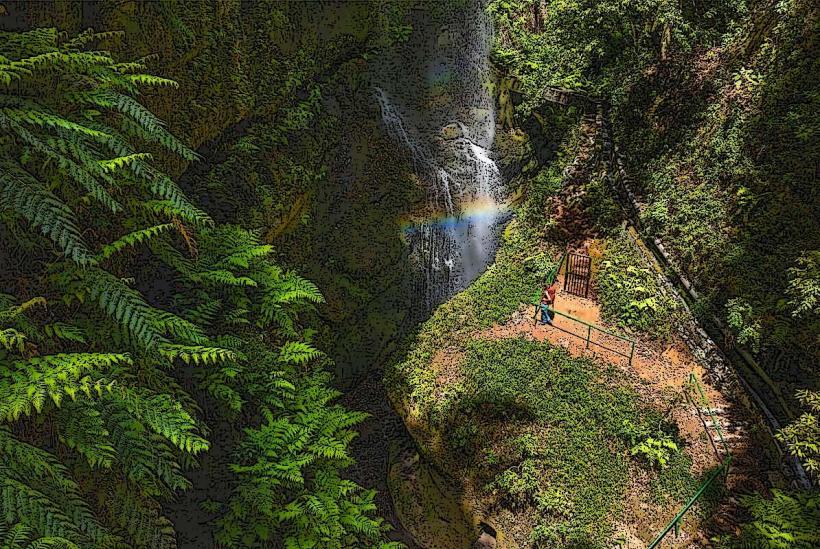
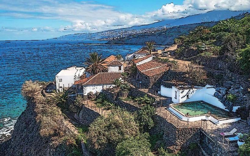
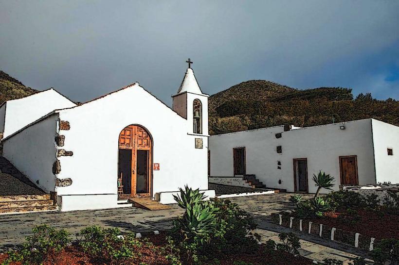
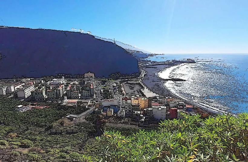
The municipality features a landscape transitioning from volcanic coastline to lush, ancient laurel forests, notably within the Los Tilos biosphere reserve. The coastal areas consist of dark volcanic rock formations and natural pools. Inland, the vegetation is dense, characterized by large trees such as laurels, ferns, and mosses, creating a humid, verdant environment. Structures within the villages typically feature traditional Canarian architecture, often with white-washed walls and red-tiled roofs.
Location & Access Logistics
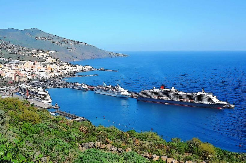
San Andrés y Sauces is located approximately 20 kilometers north of Santa Cruz de La Palma. Access is primarily via the LP-1 main island road, which runs through the municipality. For Los Tilos, a specific turn-off from the LP-1 leads to the visitor center. Parking is available at the Los Tilos Visitor Center and near the Charco Azul natural pools. Public transport includes bus lines, such as Line 100, connecting Santa Cruz de La Palma to various points within the municipality.
Historical & Ecological Origin
The municipality's origins date back to the post-conquest era of La Palma, with the establishment of agricultural settlements. The name combines the two main population centers: San Andrés and Los Sauces. Ecologically, the region is significant for its relict laurel forest (laurisilva), a subtropical forest type that covered much of Southern Europe and North Africa millions of years ago. Los Tilos was declared a UNESCO Biosphere Reserve in 1983, representing one of the best-preserved examples of this ancient ecosystem.
Key Highlights & Activities
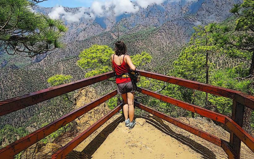
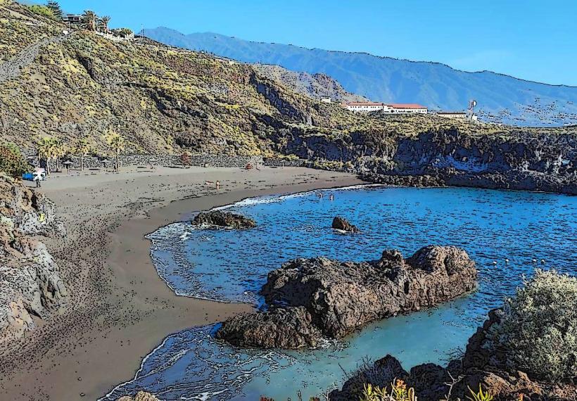
Hiking is a primary activity, with trails like the Marcos y Cordero water channel route originating near Los Tilos. Swimming is possible at the Charco Azul natural pools, which are accessible via a paved path from the main road. The Los Tilos Visitor Center provides information on the forest and its biodiversity. Exploring the historic center of San Andrés village offers insight into traditional Canarian life.
Infrastructure & Amenities
Restrooms are available at the Los Tilos Visitor Center and near the Charco Azul natural pools. Limited shade is present along coastal areas, but the laurel forest provides extensive natural shade. Cell phone signal (4G/5G) is generally available in populated areas and along main roads, but can be intermittent within the deeper parts of the Los Tilos Forest. Food vendors and restaurants are present in the villages of San Andrés and Los Sauces.
Best Time to Visit
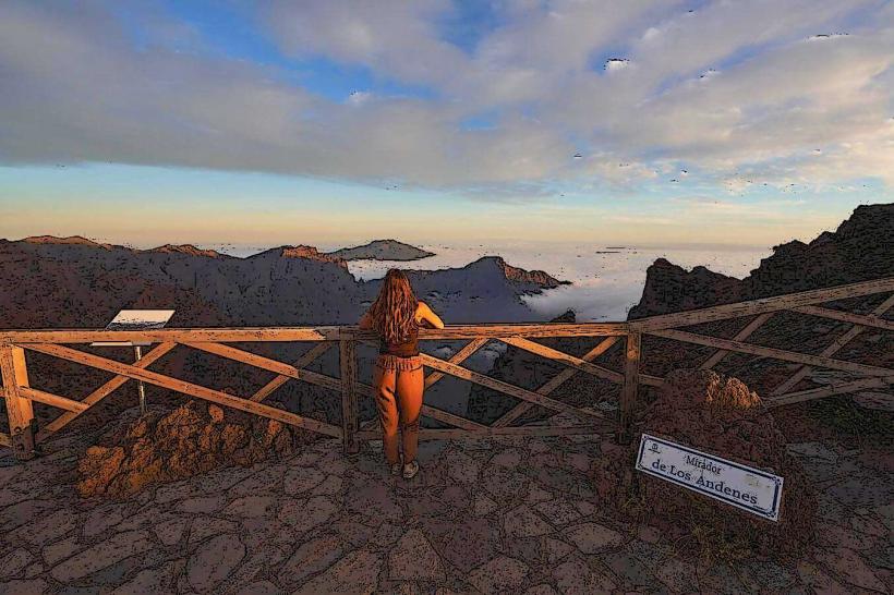
The best months for visiting are typically from April to October for warmer weather, suitable for swimming at Charco Azul. The laurel forest can be visited year-round, though rain is more frequent during winter months. For photography in Los Tilos, early morning or late afternoon light can enhance the forest's mystical atmosphere. The Charco Azul pools are best visited at mid-tide for optimal water levels.
Facts & Legends
The Los Tilos forest is home to the Til tree (Ocotea foetens), a species endemic to Macaronesia and a key component of the laurisilva. A local legend suggests that the forest's deep ravines and constant mist are home to ancient spirits guarding its pristine nature, contributing to its unique, almost primeval atmosphere.
Nearby Landmarks
- Puntallana: 5km South
- Barlovento: 8km North
- Santa Cruz de La Palma: 20km South
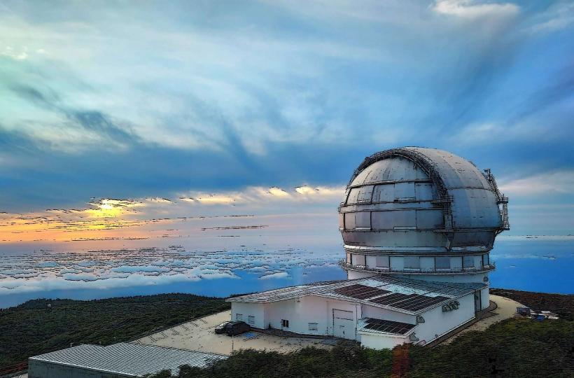
- Roque de los Muchachos Observatory: 35km West (via LP-4)