Information
Landmark: La Palma VolcanoCity: La Palma
Country: Canary Islands
Continent: Europe
La Palma Volcano, La Palma, Canary Islands, Europe
The La Palma Volcano refers primarily to the active volcanic ridge of Cumbre Vieja, located in the southern half of the island of La Palma in the Canary Islands, Spain. This geological feature is responsible for the island's formation and ongoing seismic and eruptive activity.
Visual Characteristics
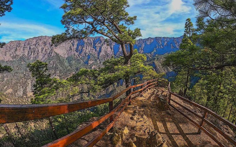
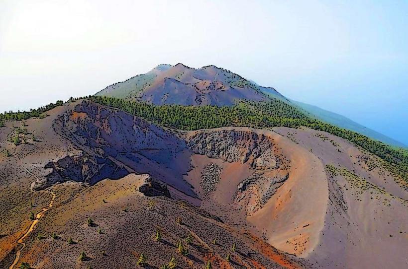
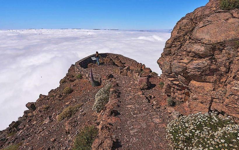
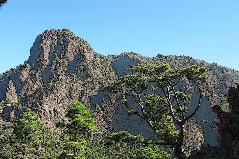
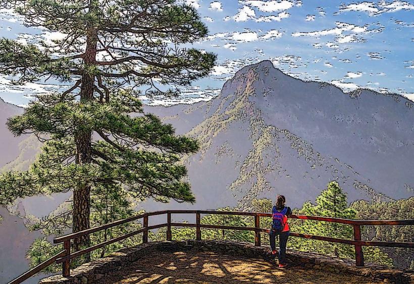
The landscape is dominated by dark volcanic rock, ranging from black to reddish-brown, with extensive lava flows, cinder cones, and craters. Recent eruptions, such as the 2021 Tajogaite eruption, have created fresh, stark black lava fields. Older areas show some revegetation with Canary Island pine forests and scrubland, contrasting with the barren volcanic ash and rock. The topography is rugged, characterized by steep slopes and deep barrancos (ravines).
Location & Access Logistics
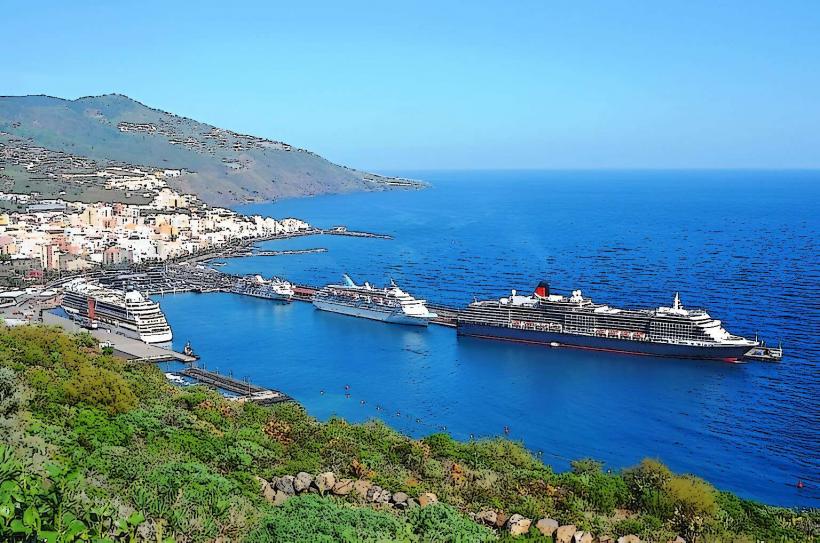
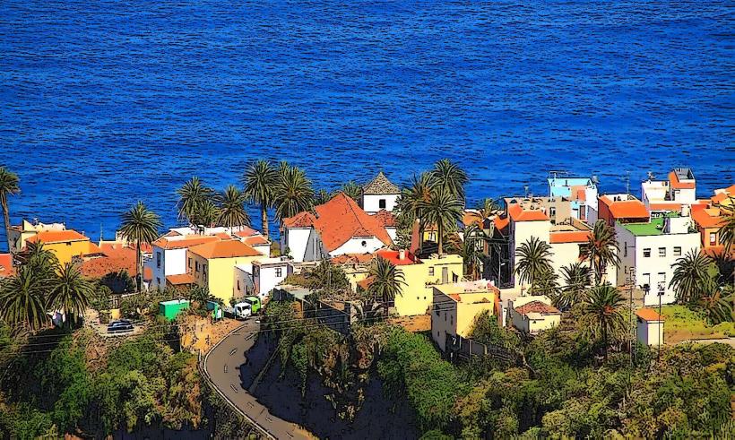
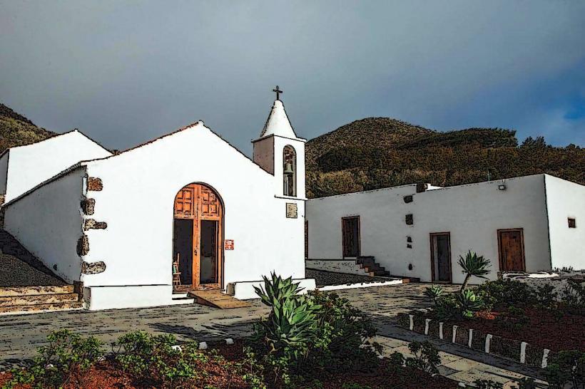
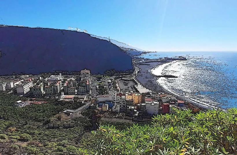
The Cumbre Vieja ridge extends approximately 14 kilometers from the center of La Palma southwards. Access points vary depending on the specific volcanic cone or trail. The San Antonio Volcano Visitor Center, located near Los Canarios (Fuencaliente), is a primary access point, approximately 25 kilometers south of Santa Cruz de La Palma via the LP-2 road. Parking is available at visitor centers. Public transport to the immediate volcanic areas is limited; bus lines serve nearby towns, but a rental car is recommended for independent exploration. The LP-301 road traverses parts of the ridge, offering views and trailheads.
Historical & Ecological Origin
La Palma is a volcanic oceanic island, part of the Canary Islands archipelago, formed by hotspot volcanism over millions of years. The Cumbre Vieja is a basaltic stratovolcano ridge that has been active for the past 125,000 years, characterized by numerous fissure eruptions. The most recent significant eruption occurred from September to December 2021, forming the Tajogaite volcano, which significantly altered the island's western coastline and topography.
Key Highlights & Activities
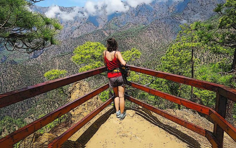
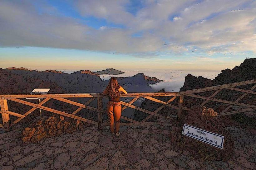
Hiking the Ruta de los Volcanes (GR 131) is a primary activity, offering views of multiple craters and lava fields. Guided tours are available for specific areas, including the San Antonio Volcano and Teneguía Volcano. Designated viewpoints provide safe observation of the 2021 lava flows and the new Tajogaite cone. The San Antonio Volcano Visitor Center offers interpretive exhibits and a short walk around the crater rim.
Infrastructure & Amenities
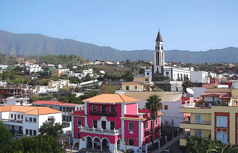
Visitor centers, such as the San Antonio Volcano Visitor Center, provide restrooms, information, and sometimes small cafes. Shade is minimal in open volcanic areas, especially on recent lava fields. Cell phone signal (4G/5G) is generally available in and around visitor centers and along main roads, but can be intermittent in more remote sections of the hiking trails. Food vendors are typically found at visitor centers or in the nearby towns of Fuencaliente and Los Canarios.
Best Time to Visit
The best time to visit for hiking is during the cooler months from October to May, when temperatures are more moderate. Early mornings offer clearer views and better light for photography, especially for sunrise over the eastern slopes. Avoid visiting during periods of high wind or rain, as conditions can become challenging and visibility reduced. There are no specific high/low tide requirements as it is an inland volcanic feature.
Facts & Legends
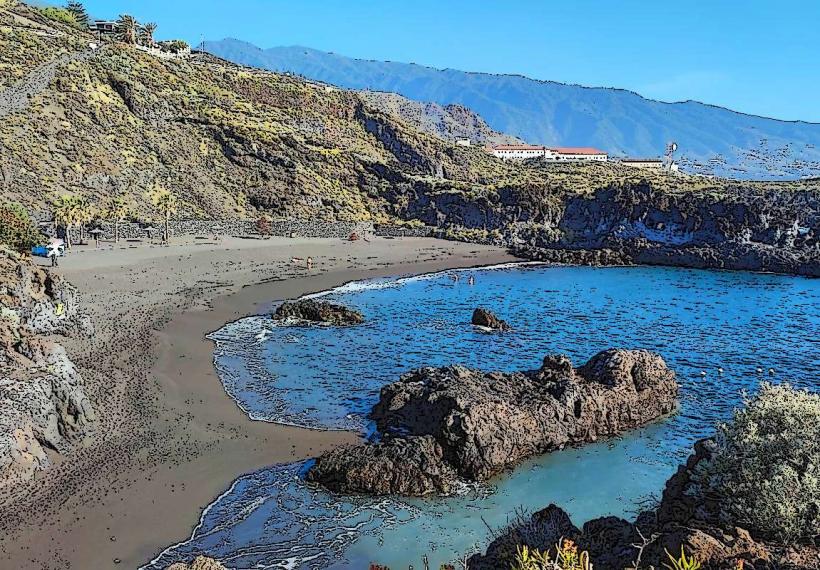
The 2021 eruption of Tajogaite was the longest-lasting eruption on La Palma in 375 years, creating a new delta of land extending into the Atlantic Ocean. The island's rapid geological growth means it is one of the steepest islands in the world, rising sharply from the ocean floor. A local tip for visitors is to check the official government advisories for trail closures or restricted access zones, especially following recent volcanic activity, as conditions can change.
Nearby Landmarks
- San Antonio Volcano Visitor Center: 0.5km South
- Teneguía Volcano: 3km South
- Salt Pans of Fuencaliente: 5km South-Southwest
- Fuencaliente Lighthouse: 5.5km South-Southwest
- Bodegas Teneguía (Winery): 2km South-Southeast