Information
Landmark: Volcán de San JuanCity: La Palma
Country: Canary Islands
Continent: Europe
Volcán de San Juan, La Palma, Canary Islands, Europe
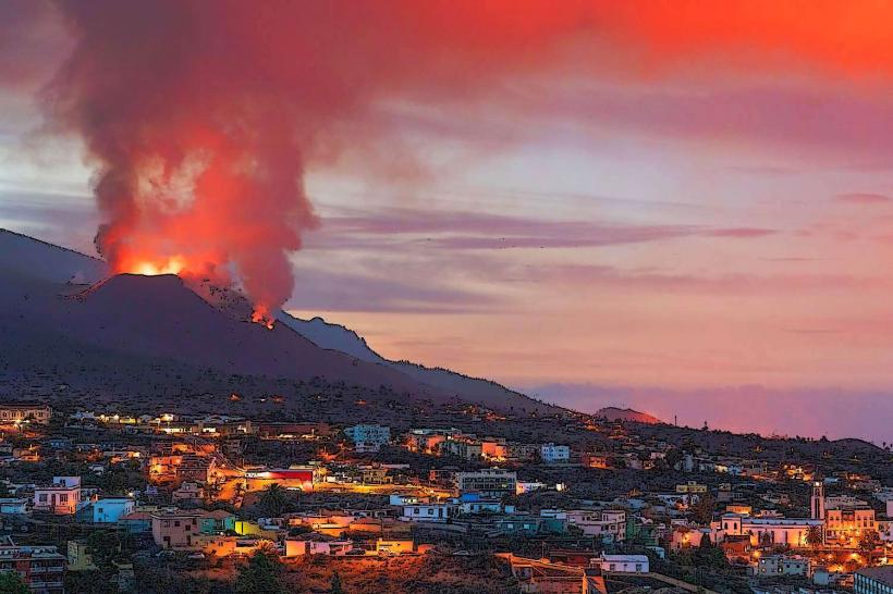
Volcán de San Juan is a volcanic cone and associated lava flows situated on the Cumbre Vieja ridge in the central-south part of La Palma, Canary Islands.
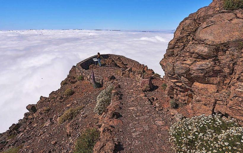
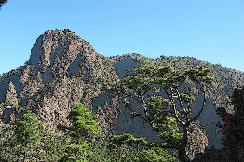
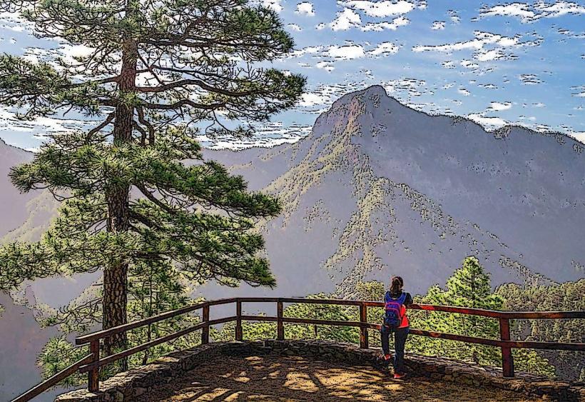
This landmark is characterized by dark, solidified volcanic rock and scoria cones. The main cone exhibits reddish-brown to black hues. The surrounding landscape consists of extensive lava fields, locally known as malpaís, with sparse vegetation primarily composed of Canary Island pine and scrub on older, more stable slopes. The overall elevation of the cone is approximately 1,830 meters above sea level.
Location & Access Logistics
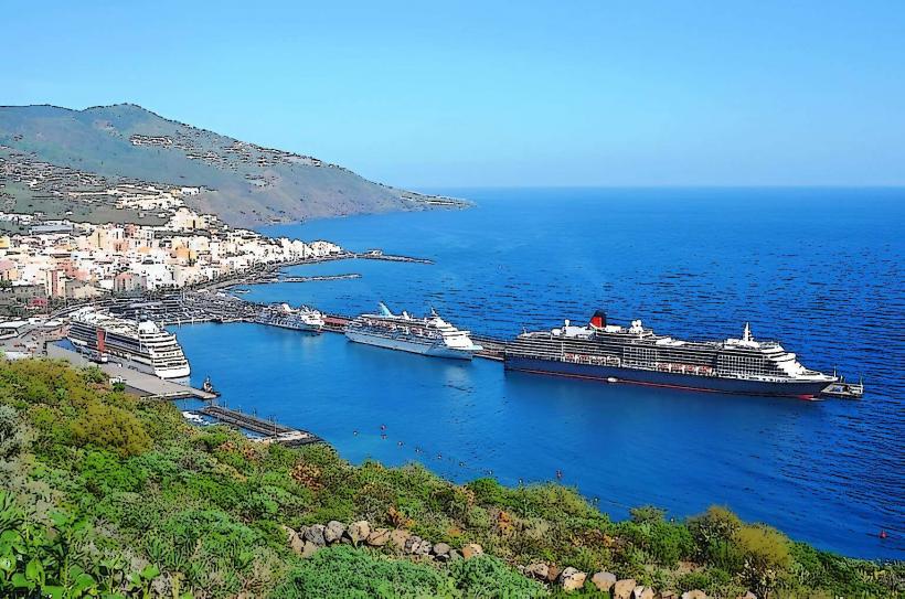
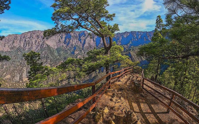
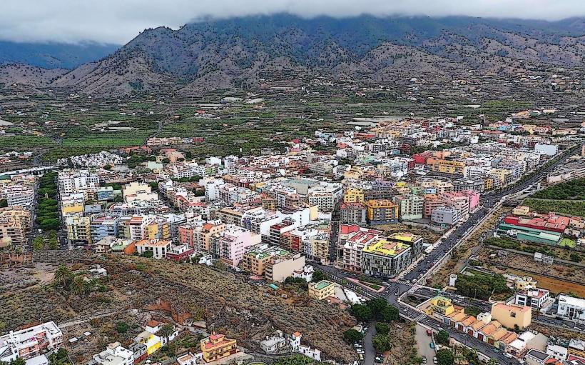
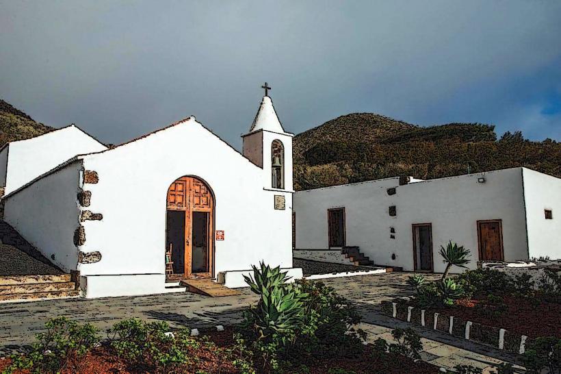
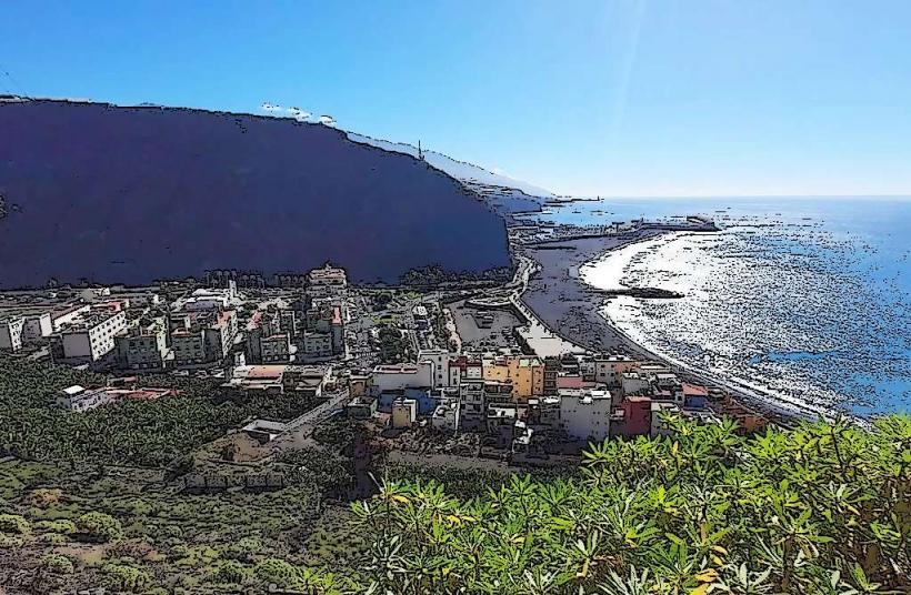
The volcano is located within the Cumbre Vieja Natural Park. Primary access is via hiking trails originating from the LP-2 road, specifically near the villages of El Paso or Fuencaliente. The main trailhead for the Ruta de los Volcanes, which traverses the area, is often accessed from Refugio del Pilar, approximately 5 kilometers north. Limited parking is available at designated trailheads. Public transport options are restricted to bus lines serving nearby towns, requiring a subsequent taxi or significant walk to reach the trail access points. The volcano is approximately 28 kilometers southwest of Santa Cruz de La Palma.
Historical & Ecological Origin
Volcán de San Juan formed during the 1949 eruption, which commenced on June 24 and concluded on August 4 of that year. This eruption was a fissure event along the active Cumbre Vieja volcanic ridge, characterized by the formation of multiple cones, including Nambroque and Duraznero, and significant lava flows that reached the western coast of the island. It is classified as a monogenetic volcanic cone within a larger active rift zone.
Key Highlights & Activities
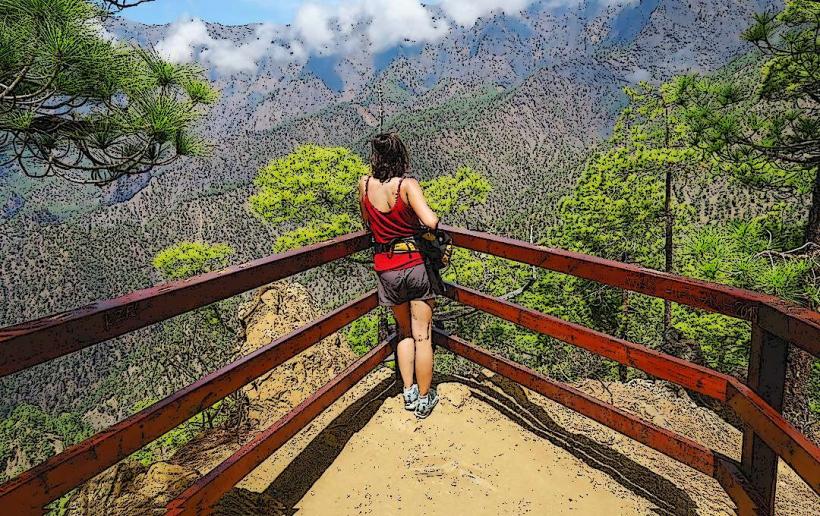
Hiking to the summit of the main cone provides panoramic views of the island's volcanic landscape and both coastlines. Exploring the solidified lava fields offers insight into recent geological activity. The area is a key segment of the long-distance Ruta de los Volcanes hiking trail, allowing for extended trekking. Photography of the volcanic formations and the caldera is a primary activity.
Infrastructure & Amenities
There are no dedicated visitor centers, restrooms, or permanent shade structures directly at the volcano. Cell phone signal (4G) is generally available but can be intermittent in certain depressions or remote sections of the trails. Food vendors are not present; visitors must carry all necessary provisions, including water and snacks.
Best Time to Visit
The best time to visit is during the morning hours to avoid the midday heat and to experience clearer views before potential cloud cover develops on the ridge. The months from October to May offer milder temperatures suitable for hiking. Visiting during periods of strong winds or heavy rainfall is not recommended due to exposure and slippery trail conditions.
Facts & Legends
The 1949 eruption of Volcán de San Juan was notable for causing a significant earthquake that was felt across the island. A specific tip for visitors is to wear sturdy hiking boots due to the uneven and rocky terrain, and to carry sufficient water as no resupply points exist along the trails.
Nearby Landmarks
- Volcán de Nambroque: 0.5km South-East
- Volcán de Duraznero: 1km North-East
- Pico Birigoyo: 3km North
- Refugio del Pilar: 5km North
- Mirador Llano del Jable: 4km North-West