Information
Landmark: El PasoCity: La Palma
Country: Canary Islands
Continent: Europe
El Paso, La Palma, Canary Islands, Europe
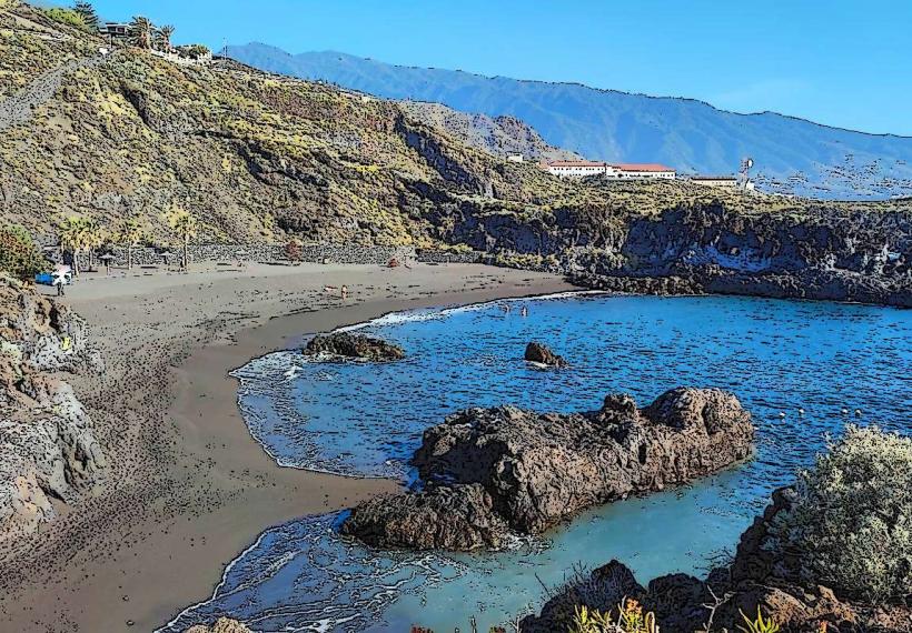
El Paso is a municipality situated in the central-western region of the island of La Palma, Canary Islands. It is notable for being the only municipality on the island without direct coastal access, positioned inland within a volcanic landscape.
Visual Characteristics
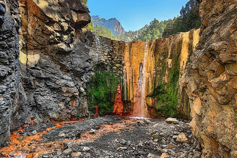
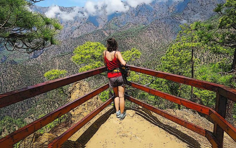
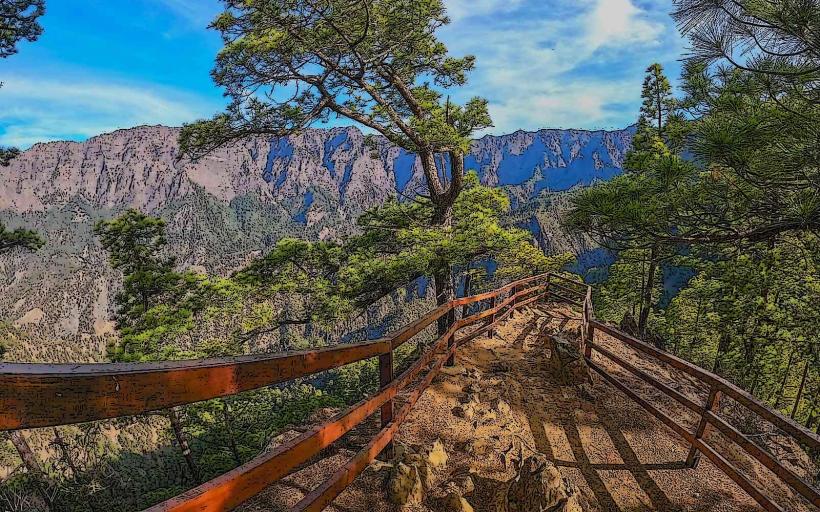
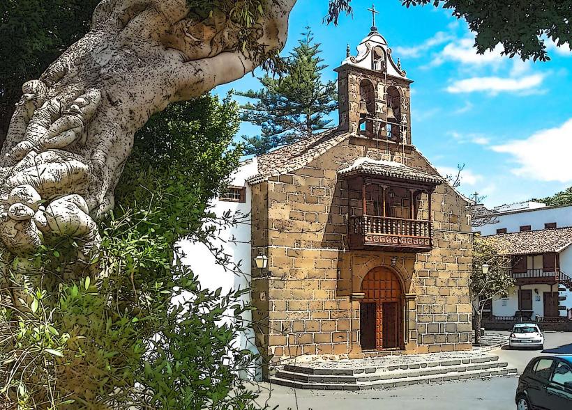
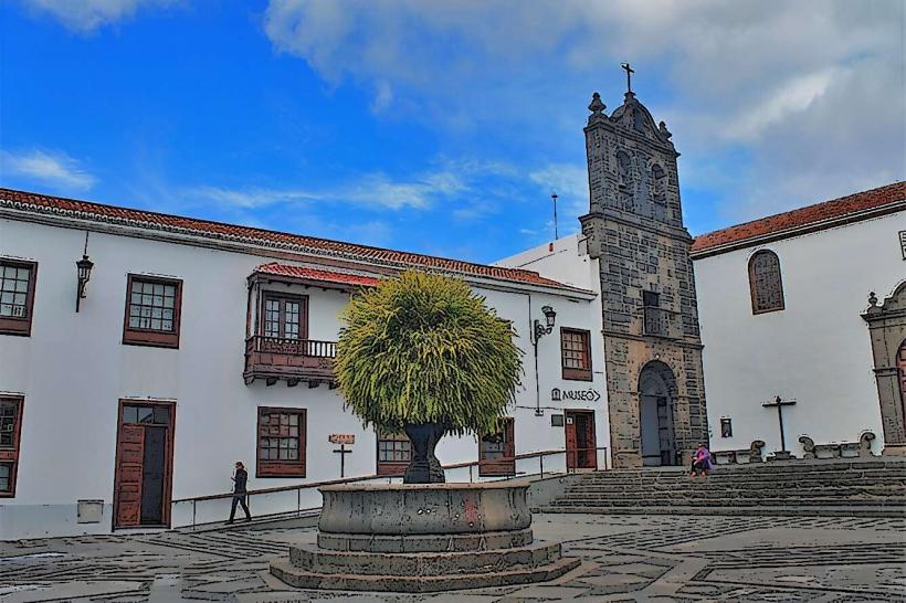
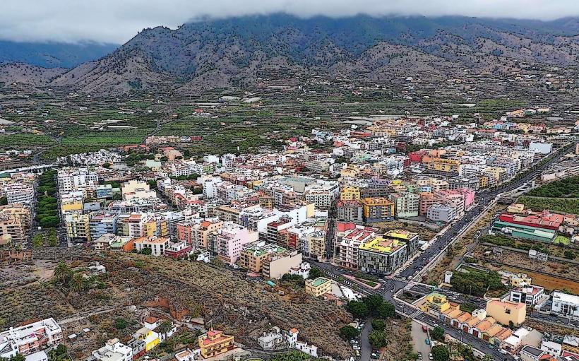
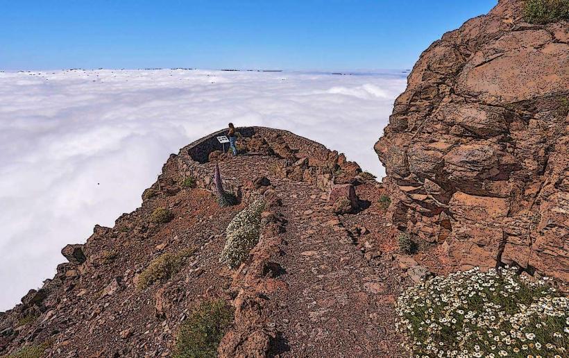
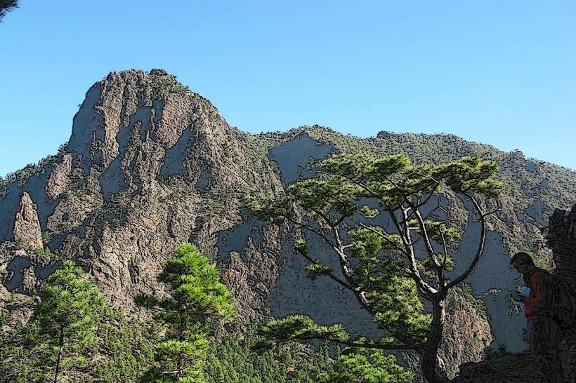
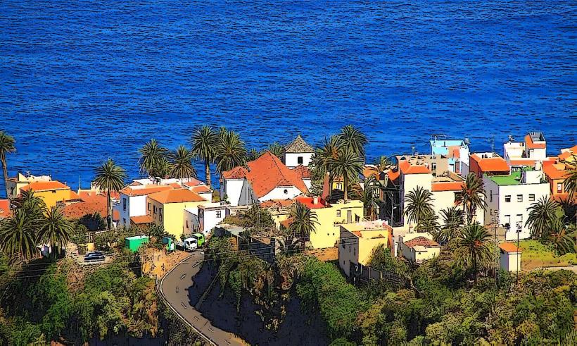
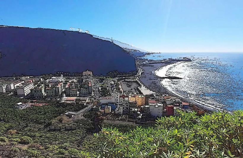
The municipality of El Paso is characterized by its diverse topography, ranging from pine forests on higher slopes to agricultural terraces in lower valleys. Buildings primarily feature traditional Canarian architecture, often constructed with white stucco walls and red-tiled roofs. The town center is relatively compact, surrounded by scattered residential areas and cultivated land. The landscape is dominated by the presence of volcanic cones and ridges, with the western rim of the Caldera de Taburiente forming a significant natural boundary.
Location & Access Logistics
El Paso is centrally located on La Palma. It is approximately 25 kilometers west of Santa Cruz de La Palma, the island's capital, accessible via the LP-2 road. From the airport (LP-1), the drive is about 20 kilometers. Parking is generally available in designated areas within the town center and near trailheads. Public transport is provided by local bus lines; for example, Line 300 connects El Paso with Santa Cruz de La Palma and Los Llanos de Aridane, and Line 301 serves specific routes within the municipality.
Historical & Ecological Origin
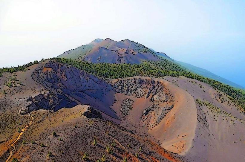
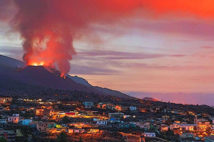
The municipality of El Paso was officially established in 1837, separating from Los Llanos de Aridane. Its original purpose was primarily agricultural, leveraging fertile volcanic soils for cultivation. Ecologically, El Paso is situated within a region shaped by significant volcanic activity, including the Cumbre Vieja volcanic ridge. The area's geology is characterized by basaltic lava flows, pyroclastic deposits, and the formation of the immense Caldera de Taburiente, a large erosion caldera.
Key Highlights & Activities
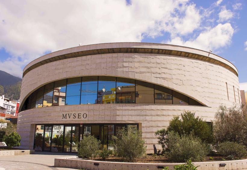
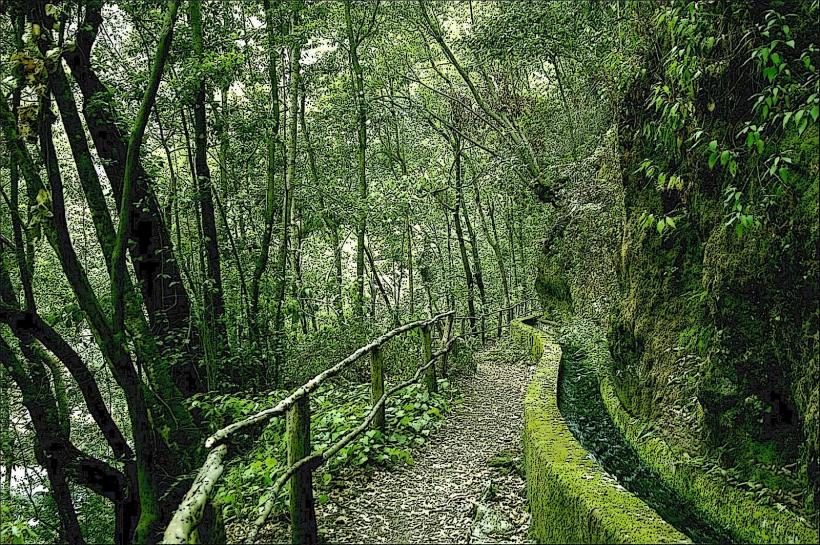
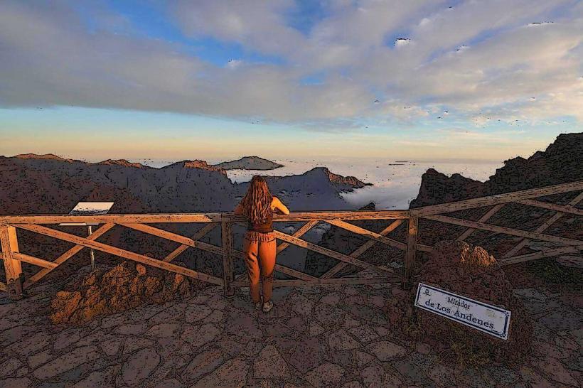
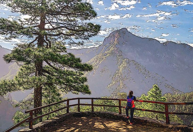
Hiking is a primary activity, with access points to trails within the Caldera de Taburiente National Park, including routes like the GR 131 (Ruta de los Volcanes). The Visitor Center of Caldera de Taburiente National Park is located in El Paso, providing information and exhibits. The Archaeological Park of La Zarza and La Zarcita offers insights into the island's pre-Hispanic inhabitants. Local markets occasionally feature agricultural products and crafts.
Infrastructure & Amenities
El Paso provides essential infrastructure. Public restrooms are available in the town center and at the National Park Visitor Center. Shade is provided by trees in public squares and by building overhangs. Cell phone signal (4G/5G) is generally reliable throughout the urbanized areas. Several restaurants, cafes, and grocery stores are present, offering food and provisions.
Best Time to Visit
The climate in El Paso is mild year-round, making it suitable for visits at any time. For hiking, the spring (April-May) and autumn (September-November) months offer pleasant temperatures and less chance of extreme weather. Early mornings are ideal for photography, especially for capturing the light on the caldera rim or volcanic landscapes, minimizing harsh shadows.
Facts & Legends
El Paso is home to the "Pino de la Virgen," a Canary Island pine tree that is one of the oldest and largest on the island, estimated to be over 800 years old. Local folklore suggests the tree possesses protective qualities, and it is a site of an annual pilgrimage. The municipality also contains the highest point accessible by road on La Palma, the Roque de los Muchachos, though the summit itself is just outside the municipal boundary.
Nearby Landmarks
- Caldera de Taburiente National Park Visitor Center: 0.5km West
- Archaeological Park of La Zarza and La Zarcita: 8km North
- Roque de los Muchachos Observatory: 20km North-East
- Los Llanos de Aridane: 7km West
- Cumbre Vieja Natural Park: Immediately South