Information
Landmark: El Golfo VolcanoCity: El Hierro
Country: Canary Islands
Continent: Europe
El Golfo Volcano, El Hierro, Canary Islands, Europe
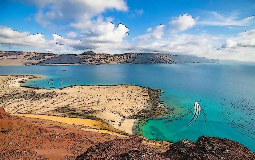
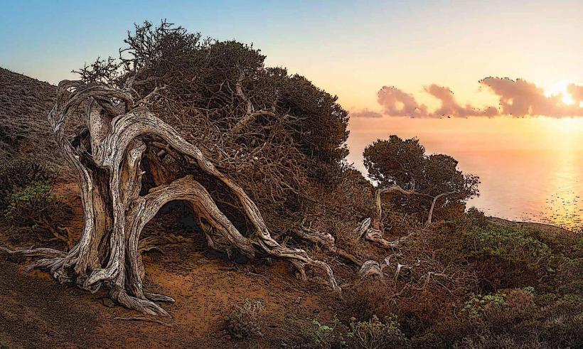
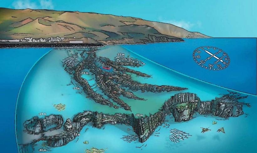
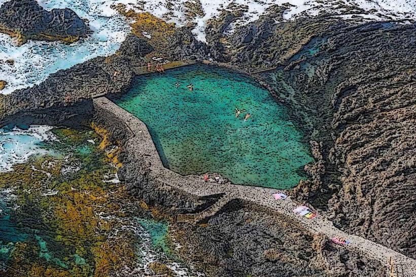
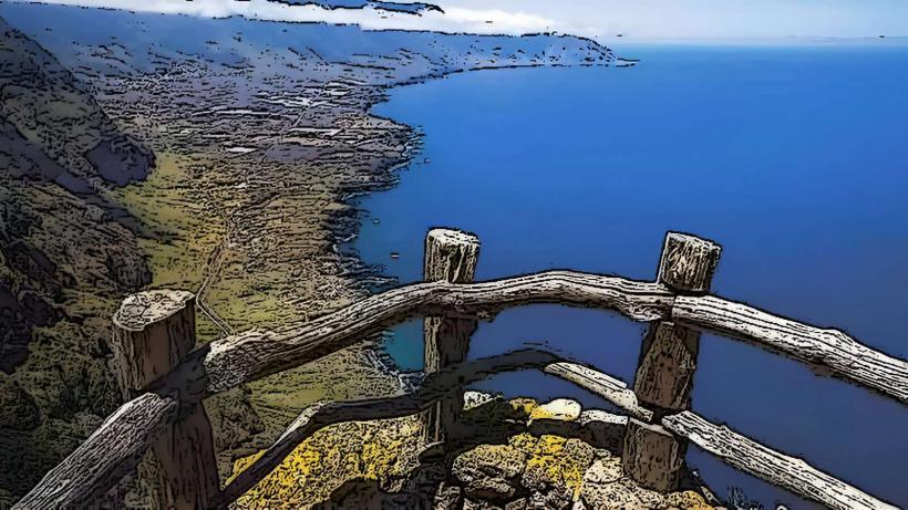
El Golfo Volcano is a partially collapsed volcanic caldera forming a prominent coastal feature on the western side of El Hierro, Canary Islands. It is characterized by a large amphitheater-shaped depression open to the Atlantic Ocean.
Visual Characteristics
The site features a crescent-shaped caldera wall composed of dark, stratified volcanic rock, rising steeply from the ocean. Within the caldera's base lies Charco de los Clicos, a small, vivid green lagoon. The lagoon's color contrasts sharply with the black volcanic sand and pebbles of the adjacent beach and the deep blue of the Atlantic Ocean. The surrounding cliffs exhibit various shades of grey and reddish-brown volcanic strata.
Location & Access Logistics
El Golfo Volcano is located on the southwest coast of El Hierro, approximately 5 kilometers west of the town of Frontera. Access is primarily via the HI-500 road, which leads directly to a designated viewpoint and parking area. The viewpoint is well-marked. Parking is available in a small, unpaved lot directly adjacent to the viewing platform. There are no direct public transport routes to the immediate viewpoint; a taxi or private vehicle is required from Frontera or other island locations.
Historical & Ecological Origin
The geological formation of El Golfo Volcano dates back approximately 50,000 years. It is the remnant of a massive landslide that caused the western flank of the island's original volcanic cone to collapse into the ocean. This event created the large, horseshoe-shaped depression known as the El Golfo Valley. The Charco de los Clicos lagoon formed within the caldera's base, with its distinctive green color attributed to the presence of specific algae (Ruppia maritima) thriving in its high-salinity, mineral-rich waters.
Key Highlights & Activities
The primary activity is viewing the Charco de los Clicos lagoon and the dramatic caldera landscape from the designated observation platform. Photography of the contrasting colors of the green lagoon, black sand, and blue ocean is a popular pursuit. A short, marked path leads from the parking area to the viewpoint. Access to the beach and the lagoon itself is restricted for safety and environmental preservation.
Infrastructure & Amenities
A small, unpaved parking area is available at the viewpoint. There are no public restrooms directly at the site. Shade is minimal, provided only by the small structure of the viewpoint itself. Cell phone signal (4G/5G) is generally available. There are no food vendors or shops at the immediate viewpoint; the nearest services are in the town of El Golfo or Frontera.
Best Time to Visit
The best time to visit for optimal lighting conditions is during the late morning or late afternoon. This allows the sun to illuminate the green lagoon without harsh midday glare, enhancing the color contrast. The site is accessible year-round, with consistent mild temperatures typical of the Canary Islands. No specific tide requirements affect viewing from the platform.
Facts & Legends
The name Charco de los Clicos refers to a type of small shellfish (clicos) that once inhabited the lagoon. The lagoon is not connected to the sea, but its water level is maintained by underground filtration from the ocean. The dramatic collapse that formed the El Golfo Valley is one of the largest known volcanic landslides in the world.
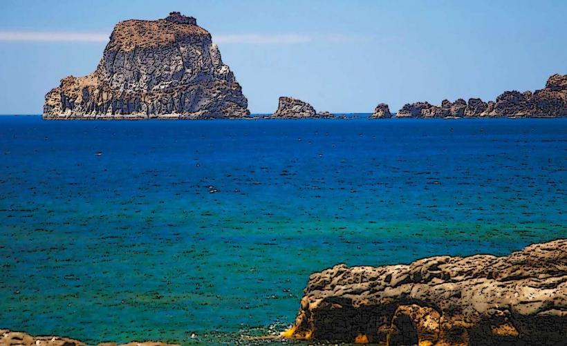
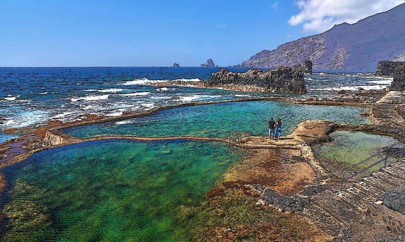
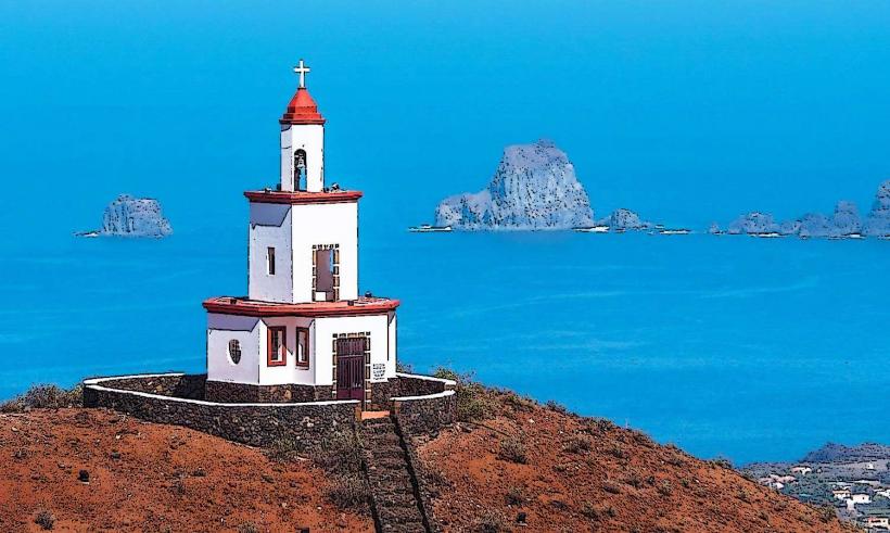
Nearby Landmarks
- Mirador de La Peña: 8km Northeast
- Charco Azul: 4km North
- La Maceta Natural Pools: 6km North
- Ecomuseo de Guinea y Lagartario: 5km Northeast