Information
Landmark: Pico de MalpasoCity: El Hierro
Country: Canary Islands
Continent: Europe
Pico de Malpaso, El Hierro, Canary Islands, Europe
Pico de Malpaso is the highest elevation on the island of El Hierro, situated in the Canary Islands, Spain. It serves as a central geographical reference point for the island's topography.
Visual Characteristics
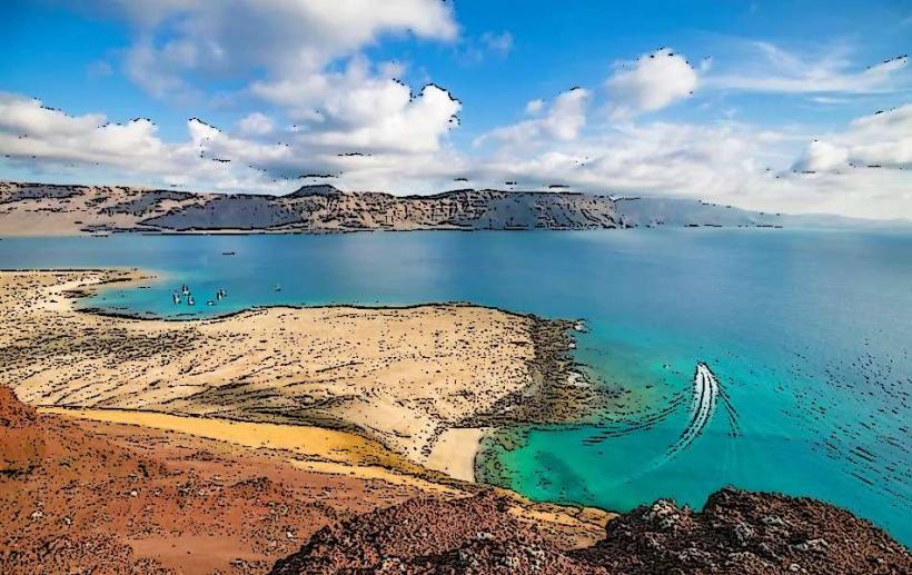
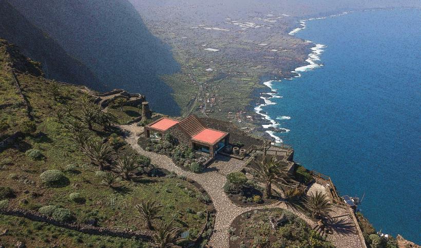
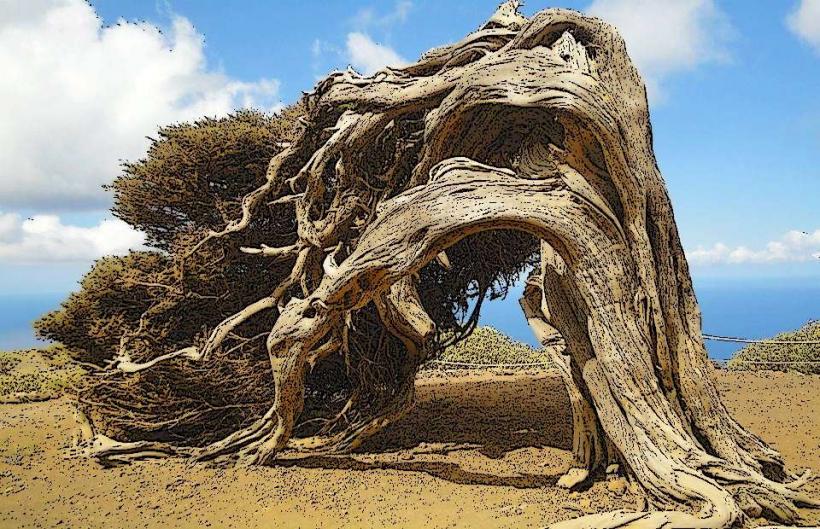
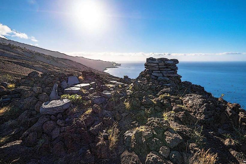
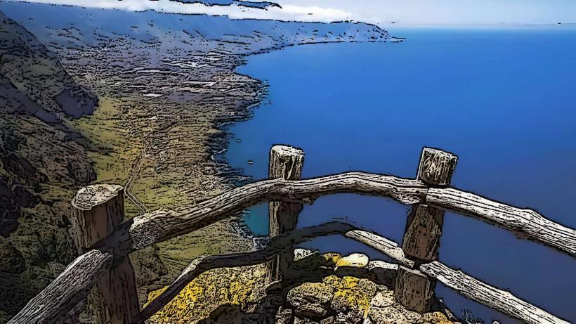
The peak reaches an elevation of 1,501 meters above sea level. Its appearance is characterized by dark volcanic rock formations, typical of the Canary Islands' geological origin. The slopes are sparsely vegetated with low-lying shrubs and grasses adapted to the high-altitude, exposed environment. The summit itself is a relatively flat, expansive area offering unobstructed 360-degree views.
Location & Access Logistics
Pico de Malpaso is centrally located on El Hierro, approximately 15 kilometers southwest of the capital, Valverde. Access is primarily via the HI-1 road, which traverses the island's central ridge. A paved road, the HI-10, branches off the HI-1 and leads directly to a parking area near the summit. Parking is available at the end of the HI-10, accommodating multiple vehicles. There are no direct public transport routes to the summit; private vehicle or taxi hire is necessary.
Historical & Ecological Origin
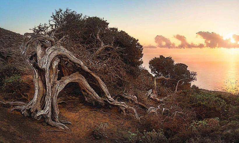
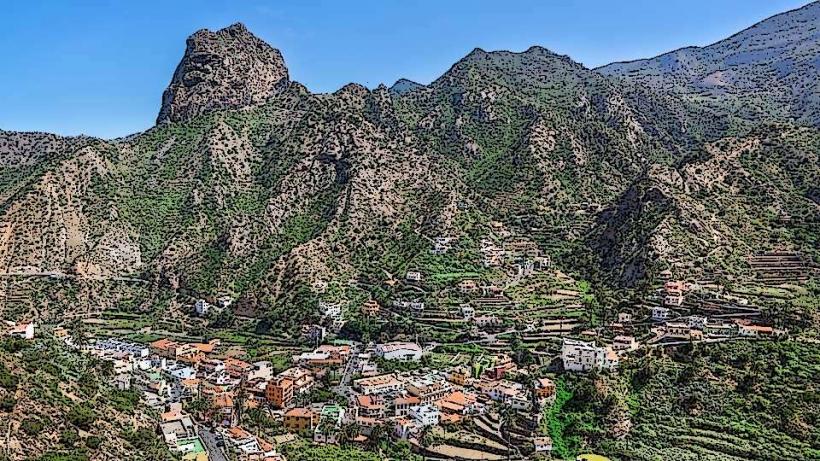
The peak is part of the Macizo de Malpaso, a volcanic massif that forms the backbone of El Hierro. Its formation is a result of successive volcanic eruptions over millions of years, characteristic of oceanic island volcanism. The surrounding landscape is classified as a high-altitude volcanic ecosystem, supporting endemic flora and fauna adapted to its specific conditions.
Key Highlights & Activities
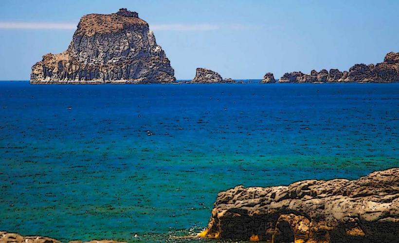
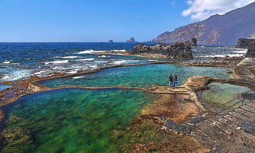
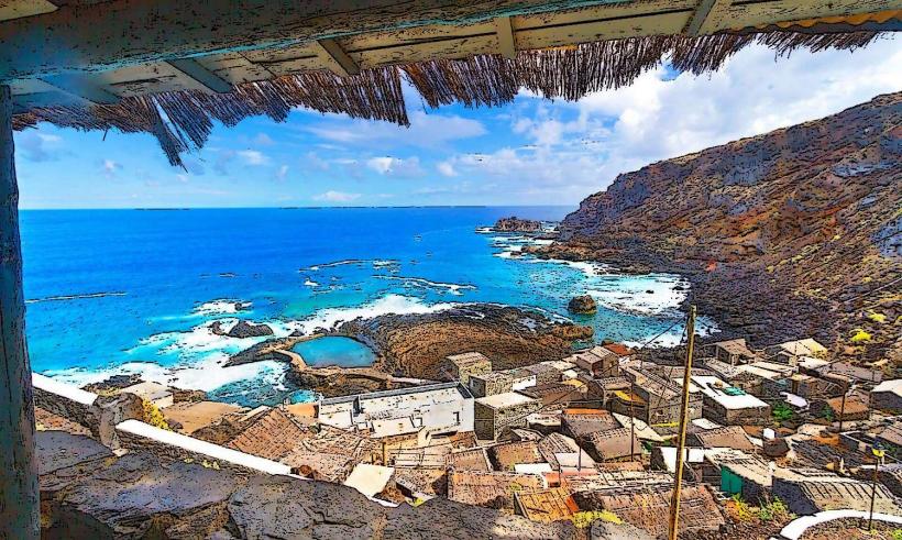
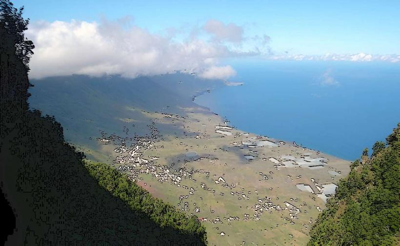
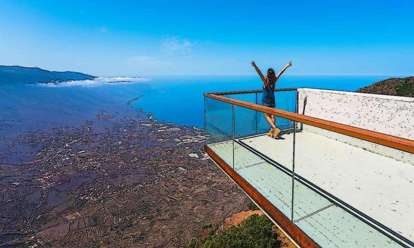
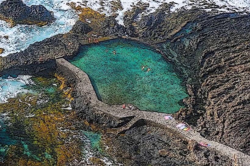
Visitors can engage in hiking along marked trails that lead to and around the summit. The primary activity is panoramic viewing, offering vistas across the entire island, including the El Golfo Valley and the Atlantic Ocean. Photography is a popular pursuit due to the extensive views.
Infrastructure & Amenities
There are no permanent restrooms or food vendors directly at the summit. Shade is minimal, provided only by sparse vegetation. Cell phone signal (4G/5G) is generally available and strong due to the peak's elevation. There are no designated picnic areas or visitor centers.
Best Time to Visit
The best time to visit is during the cooler, drier months from April to October, when clear skies are more frequent. Early mornings or late afternoons are optimal for photography, providing softer light and avoiding midday haze. There are no specific tide requirements as it is an inland peak.
Facts & Legends
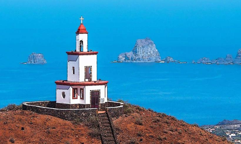
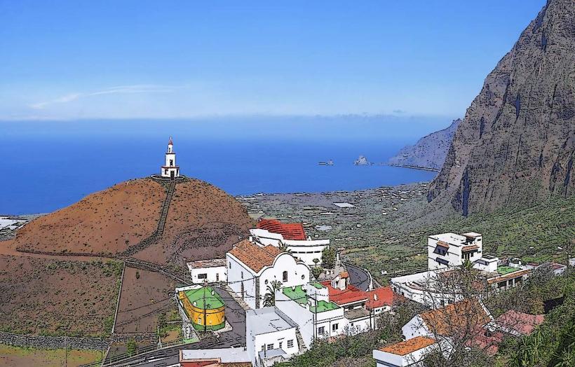
Due to its central location and height, Pico de Malpaso historically served as a crucial navigational landmark for sailors approaching El Hierro. A verified historical oddity is that the peak was once considered the westernmost point of the known world before the discovery of the Americas, influencing early cartography.
Nearby Landmarks
- Mirador de La Peña: 5.5km North
- Ecomuseo de Guinea: 7km Northwest
- Pozo de la Salud: 10km West
- La Dehesa: 8km Southwest