Information
Landmark: El Sabinar de La DehesaCity: El Hierro
Country: Canary Islands
Continent: Europe
El Sabinar de La Dehesa, El Hierro, Canary Islands, Europe
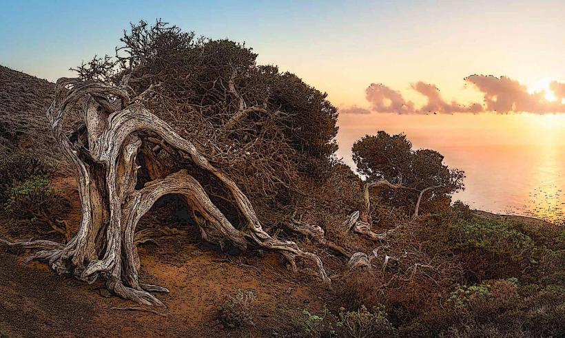
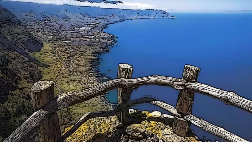
El Sabinar de La Dehesa is an ancient juniper forest situated on the western plateau of the island of El Hierro, part of the Canary Islands archipelago. It is renowned for its unique juniper trees, which have been severely contorted by persistent trade winds.
Visual Characteristics
The site features numerous specimens of the Canary Island juniper (Juniperus turbinata ssp. canariensis), characterized by their gnarled trunks and branches that grow almost horizontally, parallel to the ground. The trees exhibit a grey-green foliage, often appearing windswept and flattened. The surrounding terrain is a rocky, exposed landscape, with sparse low-lying vegetation. The overall appearance is one of resilience and adaptation to extreme environmental conditions.
Location & Access Logistics
El Sabinar is located within the protected area of La Dehesa, in the municipality of La Frontera, on the western side of El Hierro. Access is primarily via the HI-500 road, which traverses the La Dehesa plateau. From the island's capital, Valverde, the site is approximately 30 kilometers southwest. From La Frontera, it is about 15 kilometers west. Parking is informal, typically along the roadside in designated pull-off areas. There are no direct public transport routes to this specific location; a private vehicle or taxi is required.
Historical & Ecological Origin
The junipers of El Sabinar are native to the Canary Islands and are an example of extreme xerophytic adaptation. The trees are ancient, with some specimens estimated to be hundreds of years old. Their distinctive, prostrate growth form is a direct result of constant exposure to strong, salt-laden trade winds, which prune and sculpt the trees over centuries. The area is part of a volcanic island, with the underlying geology consisting of basaltic rock formations.
Key Highlights & Activities
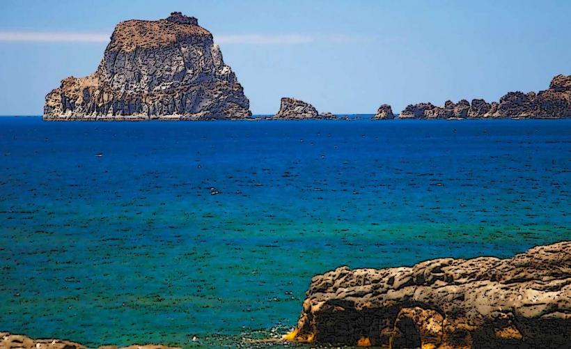
Visitors can walk along designated paths and informal trails to observe the wind-sculpted junipers up close. Photography is a primary activity, capturing the unique shapes and the stark landscape. The site offers panoramic views of the Atlantic Ocean and the rugged coastline from various vantage points. Interpretation panels provide information on the ecology and significance of the forest.
Infrastructure & Amenities
Infrastructure at El Sabinar de La Dehesa is minimal. There are no public restrooms or dedicated visitor centers on site. Shade is limited to the immediate vicinity of the larger juniper trees. Cell phone signal (4G/5G) can be intermittent and unreliable due to the remote location. There are no food vendors or shops directly at the site; the nearest services are in the towns of La Frontera or El Pinar.
Best Time to Visit
The best time to visit is during daylight hours, particularly in the morning or late afternoon for optimal photographic lighting, which enhances the textures and forms of the trees. The months from April to October generally offer milder weather, though strong winds are a constant feature of the area regardless of the season. There are no specific tide requirements for visiting.
Facts & Legends
The junipers of El Sabinar are considered a symbol of resilience and the enduring spirit of El Hierro. Local folklore suggests that these ancient trees hold the wisdom of the island, having withstood centuries of harsh conditions. A verified historical oddity is that the trees' growth patterns are so extreme, they often appear to be growing out of the ground in multiple directions, defying typical arboreal structures.
Nearby Landmarks
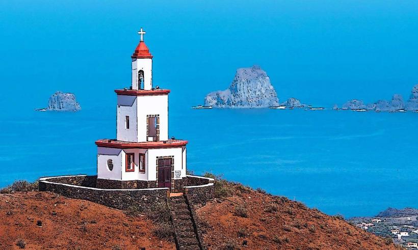
- Faro de Orchilla: 6km Southwest
- Mirador de La Peña: 18km Northeast
- Pozo de la Salud: 12km East
- Ecomuseo de Guinea y Lagartario: 15km East