Information
Landmark: La DehesaCity: El Hierro
Country: Canary Islands
Continent: Europe
La Dehesa, El Hierro, Canary Islands, Europe
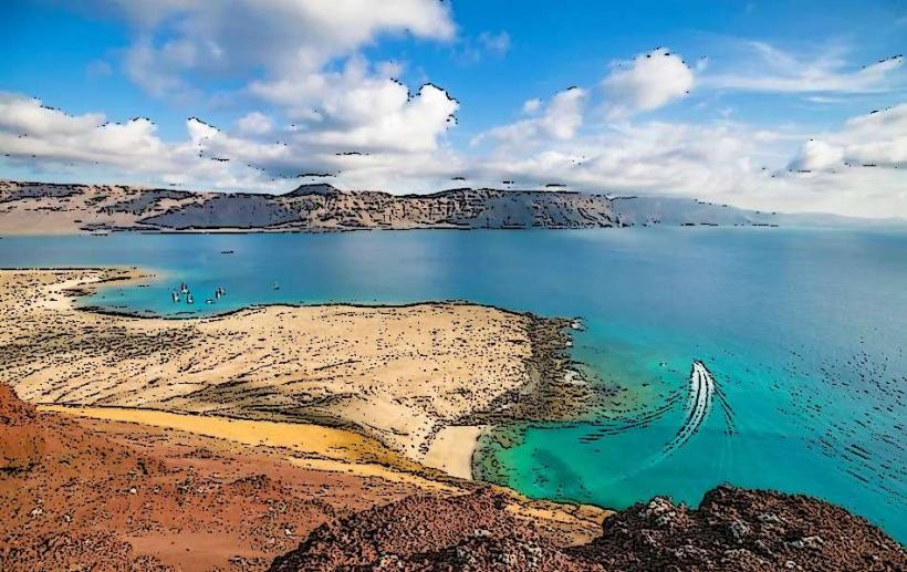
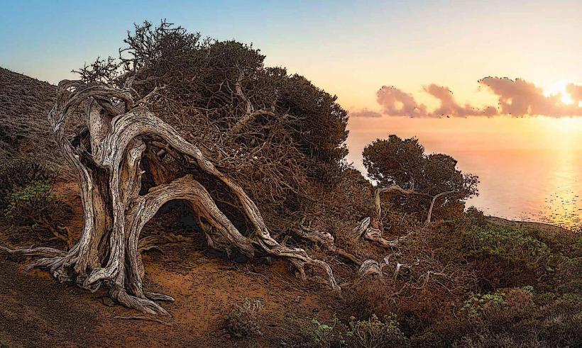
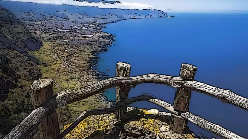
La Dehesa is a protected natural area characterized by its unique wind-sculpted juniper trees, located on the western side of El Hierro, the smallest of the Canary Islands.
Visual Characteristics
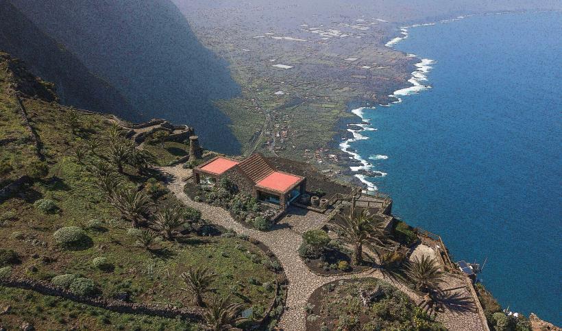
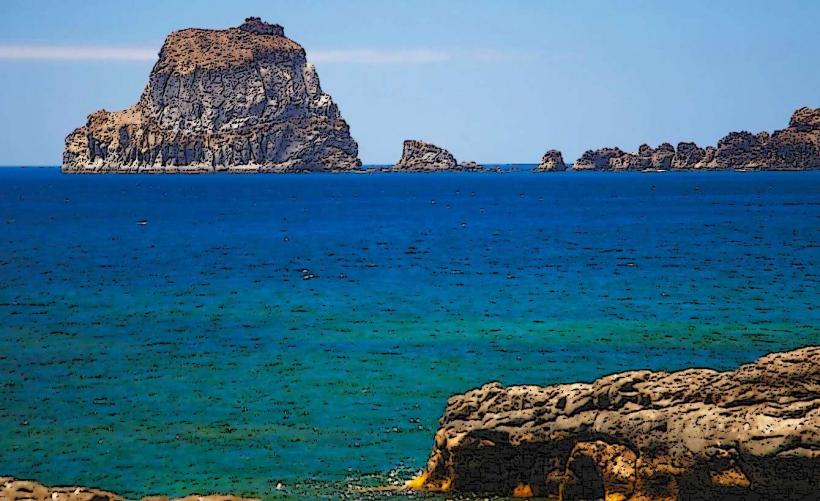
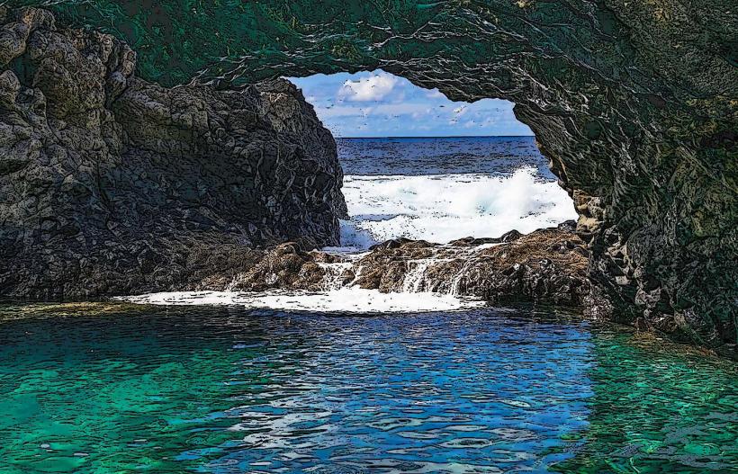
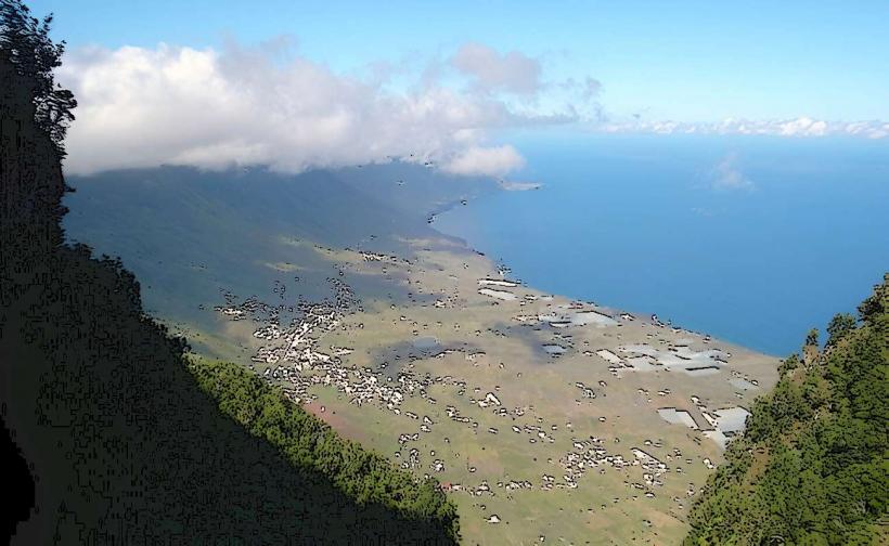
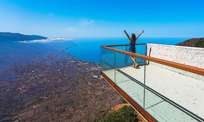
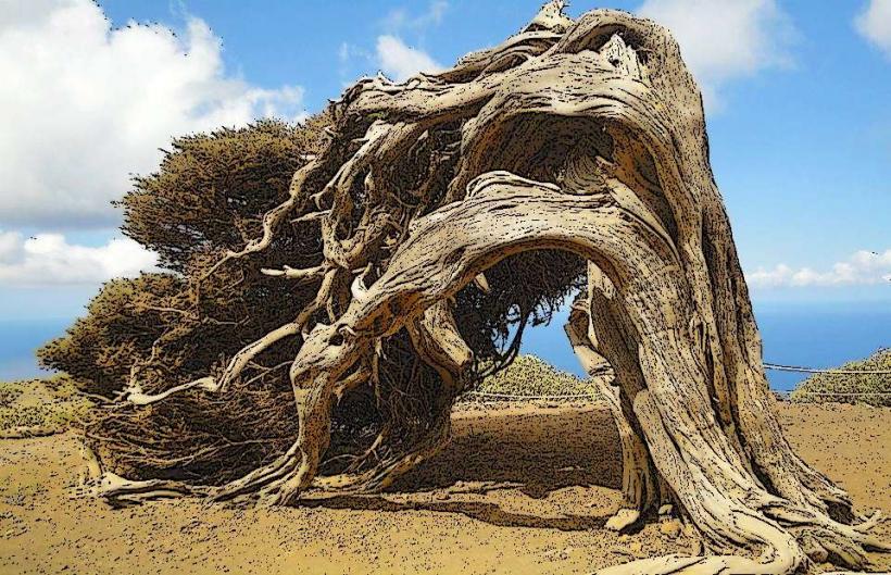
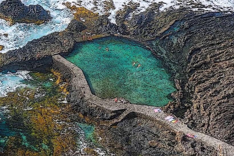
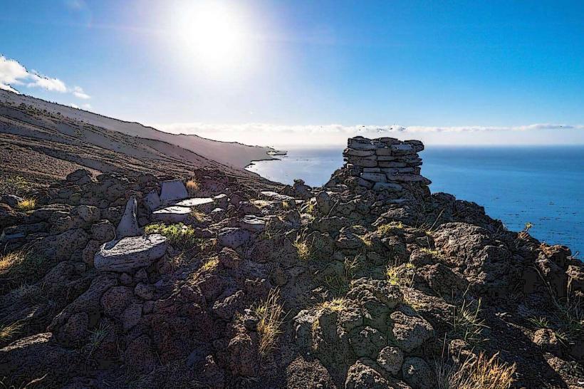
The landscape of La Dehesa is defined by its iconic sabina trees (Juniperus turbinata ssp. canariensis), which exhibit a distinctive low, contorted growth pattern due to persistent Atlantic winds. The terrain consists of dark, rugged volcanic rock formations, interspersed with sparse, resilient scrub vegetation. The area features dramatic coastal cliffs that drop sharply to the Atlantic Ocean, offering expansive sea views.
Location & Access Logistics
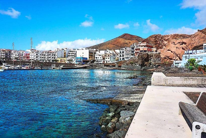
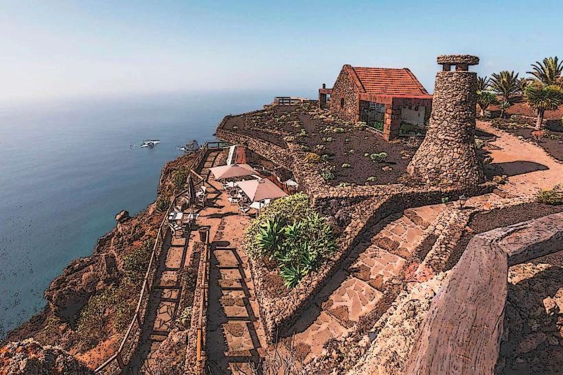
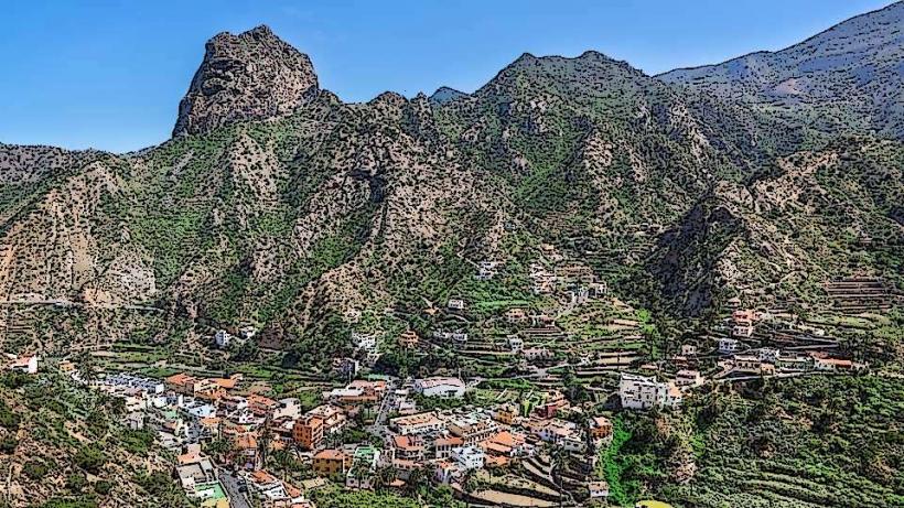
La Dehesa is situated on the westernmost point of El Hierro, approximately 25 kilometers from Valverde, the island's capital, and 15 kilometers from Frontera. Access is primarily via the HI-5 road, which becomes narrower and unpaved in sections closer to the coast. Limited, informal parking areas are available near key viewpoints such as Mirador de Bascos and the Ermita de Nuestra Señora de los Reyes. Public transport does not serve the core of La Dehesa; a rental car or taxi is necessary for access.
Historical & Ecological Origin
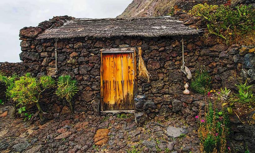
La Dehesa is an ecologically significant area, classified as a Special Area of Conservation (SAC) within the Natura 2000 network. Its unique ecosystem is a direct result of the island's volcanic origins and the constant exposure to strong trade winds, which have shaped the distinctive growth patterns of its endemic flora, particularly the sabina trees.
Key Highlights & Activities
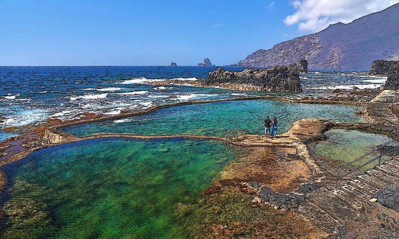
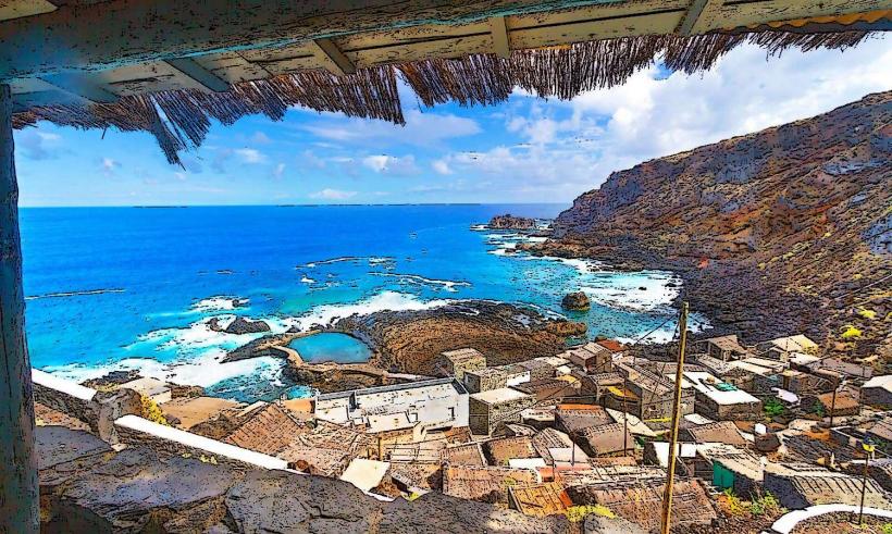
Activities within La Dehesa primarily include hiking along designated trails that offer panoramic views of the Atlantic Ocean and the wind-sculpted trees. Photography is a prominent activity, focusing on the unique forms of the sabina trees and the dramatic coastal scenery. The area also serves as a starting point for trails leading to various coastal viewpoints and the Faro de Orchilla.
Infrastructure & Amenities
Infrastructure within La Dehesa is minimal. There are no public restrooms, dedicated food vendors, or formal visitor centers directly within the protected area; visitors should bring their own provisions. Cell phone signal (4G) can be intermittent, especially in more remote sections. Natural shade is scarce due to the low-growing vegetation.
Best Time to Visit
The best time to visit La Dehesa is during the cooler months from October to May, when temperatures are milder and the winds can be less intense. Early morning or late afternoon provides optimal lighting for photography, enhancing the textures of the trees and the volcanic landscape. No specific tide requirements apply to visiting the area.
Facts & Legends
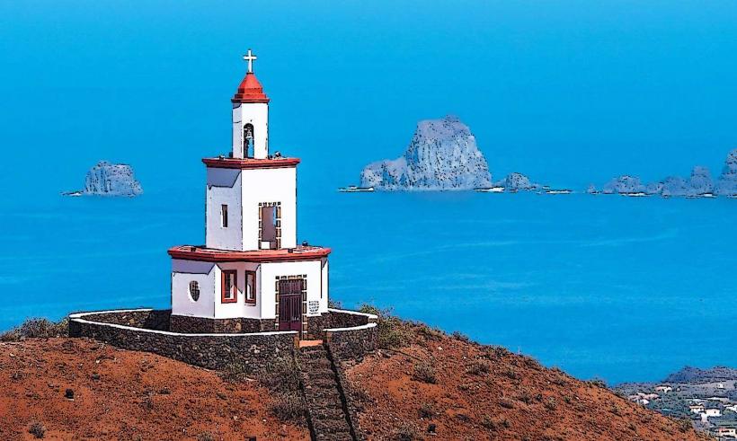
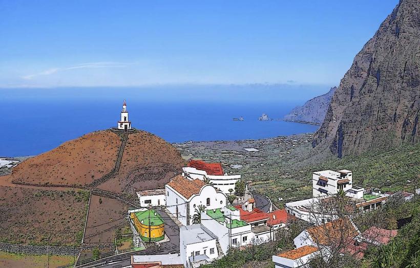
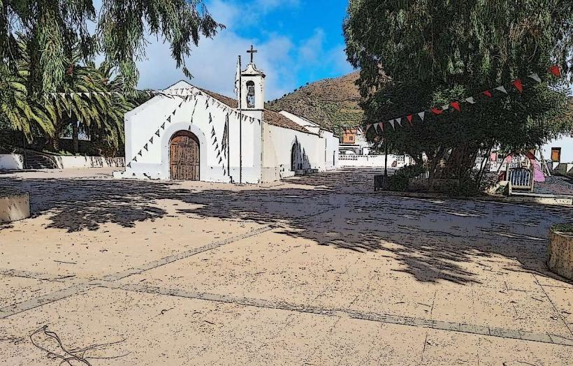
Local legend attributes the contorted shapes of the sabina trees to their constant struggle against the powerful Atlantic winds, symbolizing the resilience of the island's spirit. The area is also culturally significant as the location of the Ermita de Nuestra Señora de los Reyes, from where the island's patron saint begins the quadrennial Bajada de la Virgen de los Reyes procession.
Nearby Landmarks
- Ermita de Nuestra Señora de los Reyes: 0.5km East
- Mirador de Bascos: 3km Northeast
- Faro de Orchilla: 7km Southwest
- Pozo de la Salud: 12km Northeast