Information
Landmark: Miradores en El HierroCity: El Hierro
Country: Canary Islands
Continent: Europe
Miradores en El Hierro, El Hierro, Canary Islands, Europe
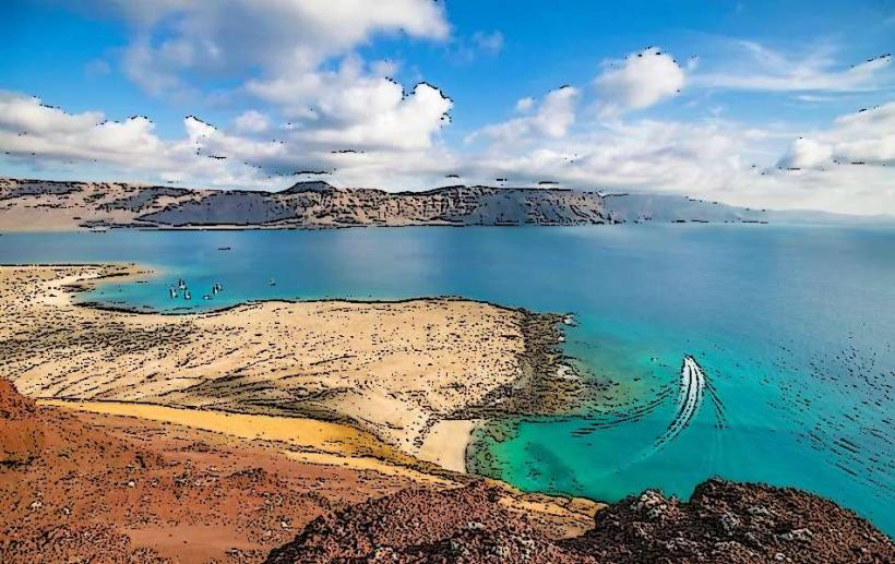
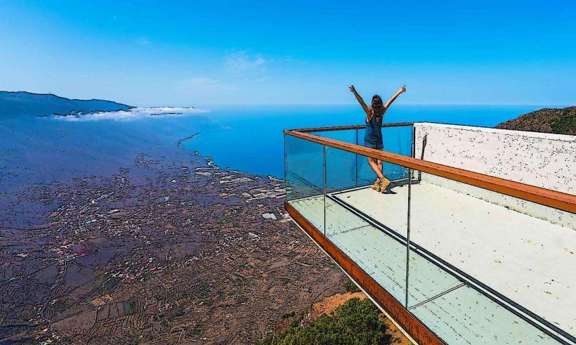
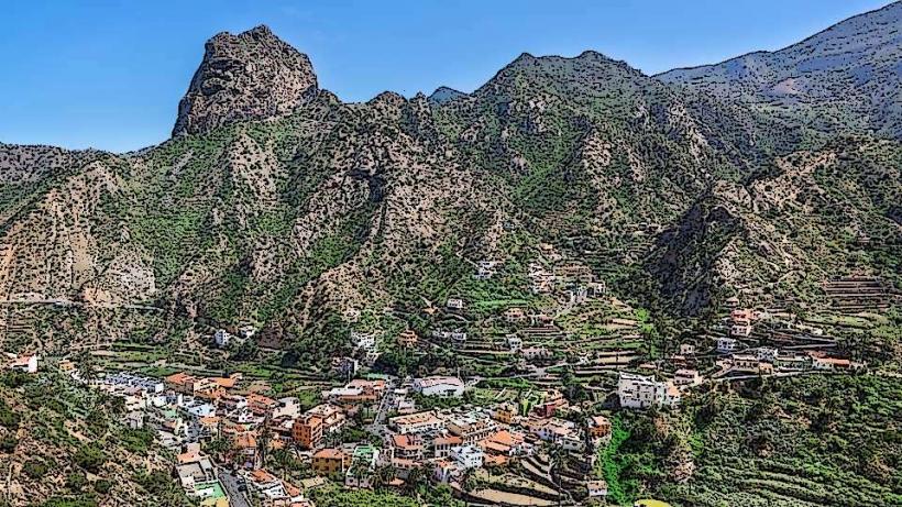
Miradores en El Hierro refers to the network of designated viewpoints strategically located across the island of El Hierro, Canary Islands. These elevated positions provide panoramic vistas of the island's diverse volcanic landscapes, the Atlantic Ocean, and neighboring islands on clear days.
Visual Characteristics
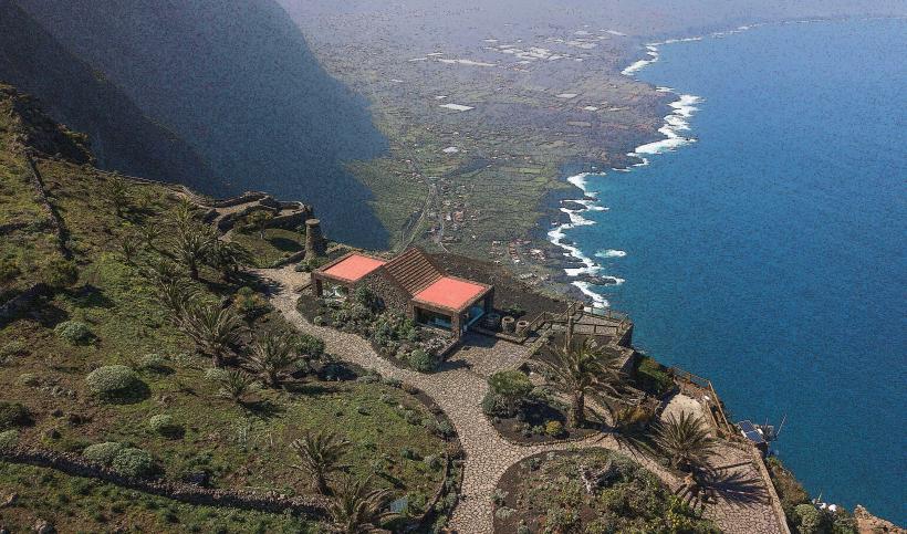
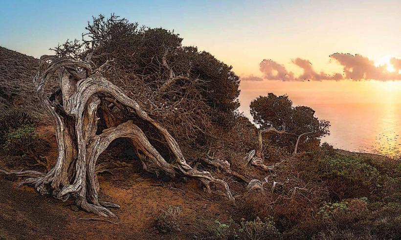
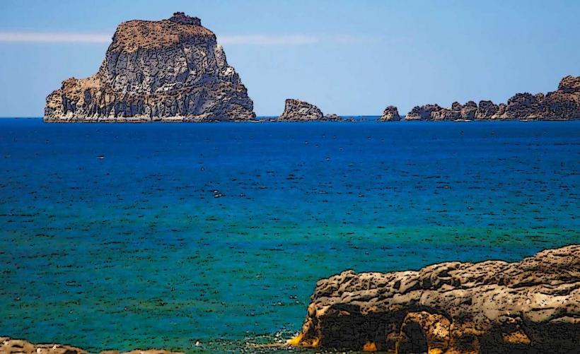
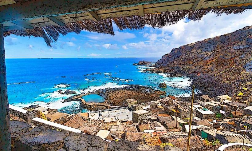
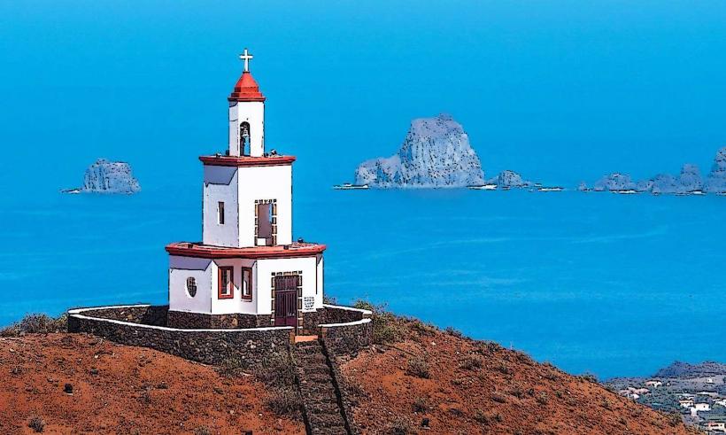
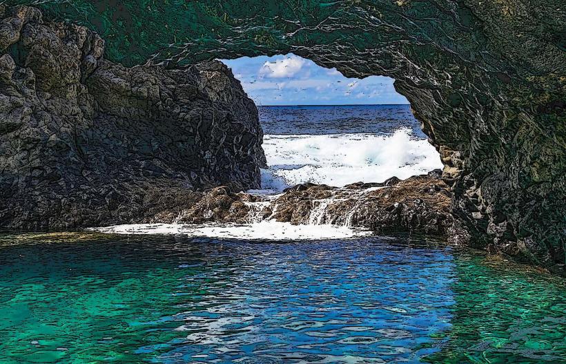
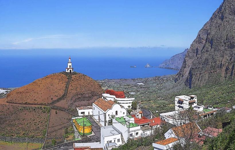
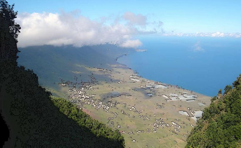
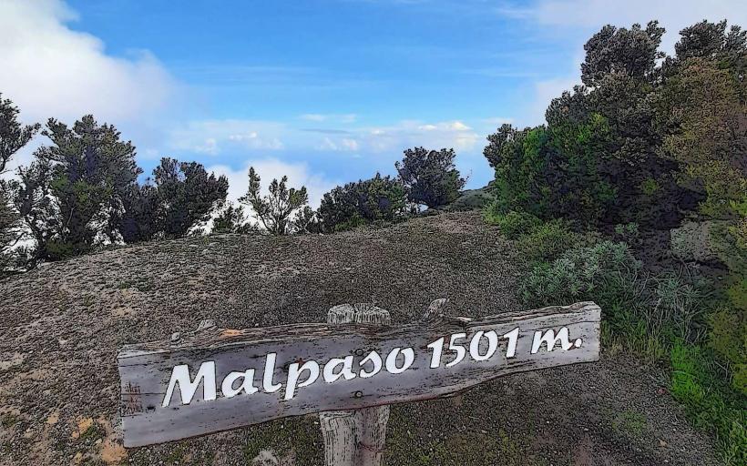
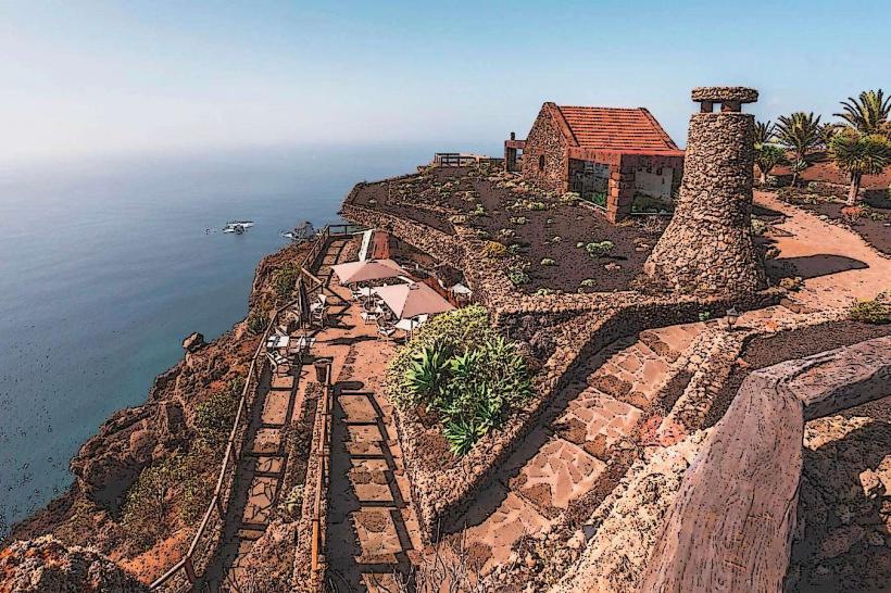
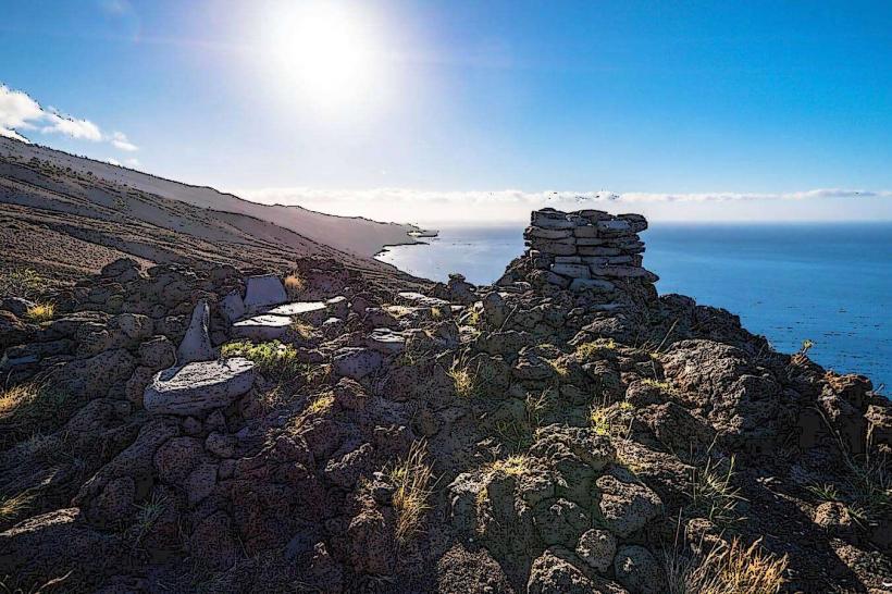
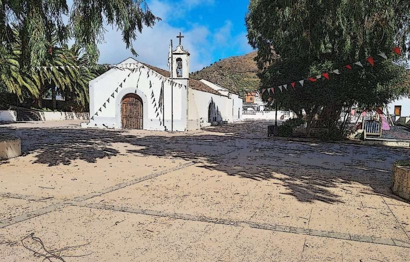
The viewpoints typically feature constructed platforms, often utilizing local volcanic stone and concrete, equipped with safety railings. Some larger miradores incorporate architectural elements, such as the design by César Manrique at Mirador de La Peña. The views encompass dramatic sea cliffs, dense laurisilva forests, terraced agricultural fields, and the vast expanse of the ocean, with varying elevations ranging from coastal bluffs to mountain summits.
Location & Access Logistics
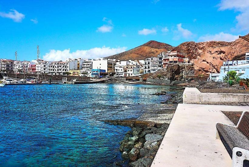
The miradores are distributed throughout El Hierro, accessible primarily by car via the island's well-maintained road network, including roads like the HI-1 and HI-4. Specific distances from the capital, Valverde, vary significantly depending on the viewpoint, ranging from 5km to 30km. Parking is generally available at each viewpoint, often in dedicated, unpaved or paved areas directly adjacent to the viewing platforms. Public transport options are limited; inter-village bus lines (e.g., Transportes Insular de El Hierro) may pass near some miradores, but direct access often requires a short walk or taxi.
Historical & Ecological Origin
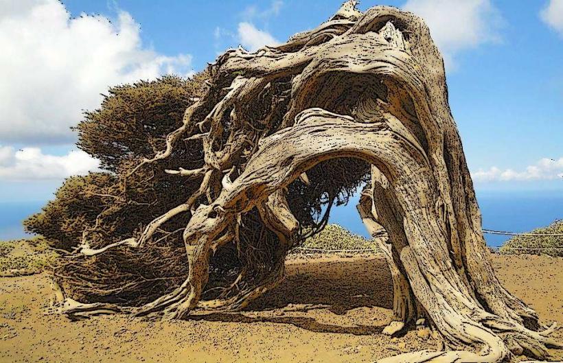
The construction of these viewpoints is a modern development, primarily for tourism and landscape appreciation, with many established in the latter half of the 20th century. The landscapes observed from these points are a direct result of El Hierro's volcanic origin, characterized by successive eruptions over millions of years that formed its steep cliffs, calderas, and lava flows. The island's unique ecosystems, including ancient laurisilva forests, are also a product of its geological history and isolation.
Key Highlights & Activities
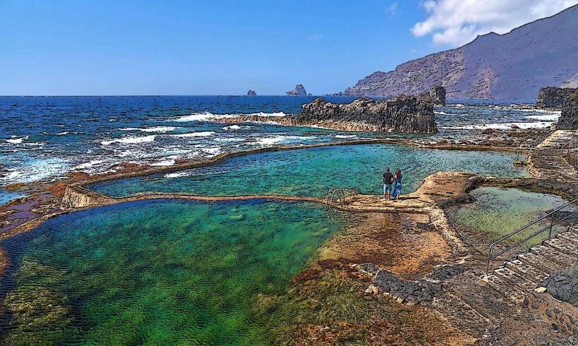
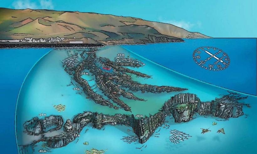
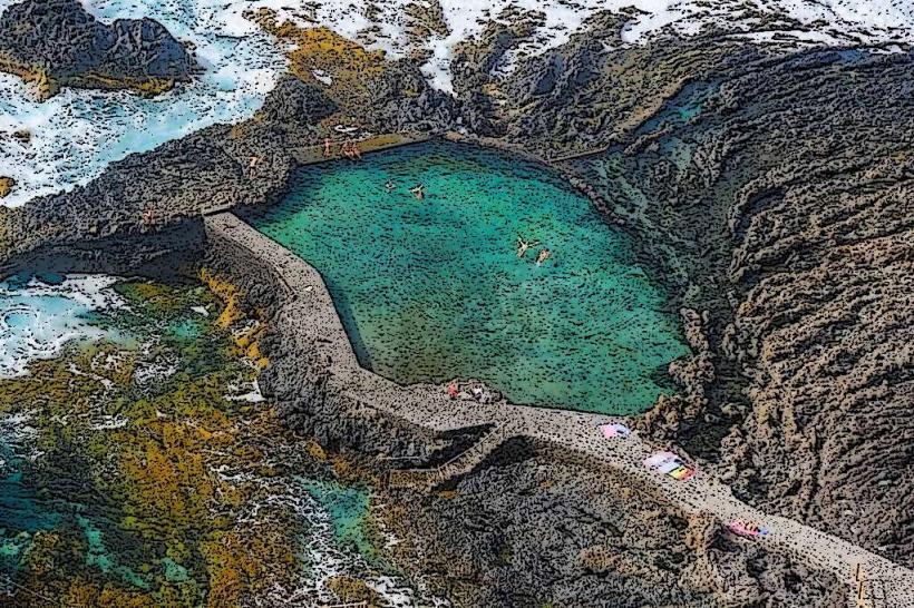
Key activities include panoramic photography of the island's topography and coastline. Visitors can observe geological formations such as the El Golfo valley, formed by a massive landslide. Birdwatching is possible, particularly for seabirds along the cliffs. Some miradores offer interpretive panels detailing the local geology, flora, and fauna. Picnicking is feasible at locations with designated areas.
Infrastructure & Amenities
Infrastructure varies significantly among the miradores. Basic viewpoints typically offer only a viewing platform and safety barriers. Larger, more developed sites, such as Mirador de la Peña, include a restaurant, restrooms, and sometimes a gift shop. Shade is often limited to specific structures or natural vegetation. Cell phone signal (4G/5G) is generally reliable across most of the island, including at many miradores. Food vendors are typically only present at the most popular, developed viewpoints.
Best Time to Visit
The best time to visit is during daylight hours for optimal visibility. Early morning or late afternoon provides specific lighting conditions ideal for photography, particularly for sunrise or sunset views over the ocean. The months from April to June and September to November generally offer stable weather with fewer clouds, maximizing clear views. There are no specific high/low tide requirements for visiting the viewpoints themselves.
Facts & Legends
El Hierro is recognized as a UNESCO Biosphere Reserve and a UNESCO Global Geopark, a status often highlighted at its miradores. The island is also notable for its ambition to be 100% self-sufficient in renewable energy, a project that can be observed from various viewpoints, particularly the Gorona del Viento wind-hydro power plant. A local legend associated with the island's dramatic cliffs, visible from many miradores, speaks of the "Gigante de El Hierro," a mythical guardian of the island.
Nearby Landmarks
- Faro de Orchilla: 15km Southwest
- Pozo de la Salud: 10km West
- Ecomuseo de Guinea y Lagartario: 8km Northwest
- Charco Azul: 12km Northwest
- Árbol Garoé: 7km East