Information
Landmark: Mirador de JinamaCity: El Hierro
Country: Canary Islands
Continent: Europe
Mirador de Jinama, El Hierro, Canary Islands, Europe
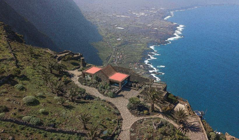
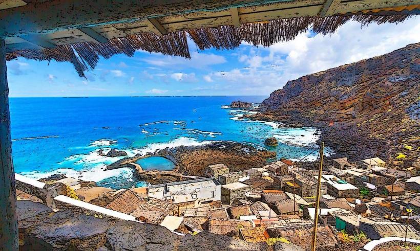
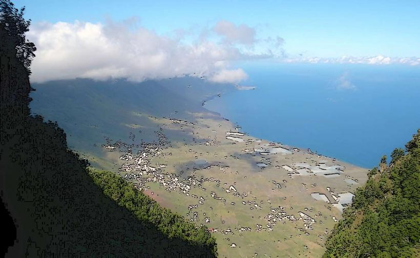
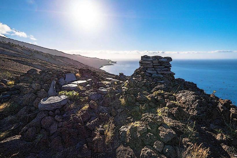
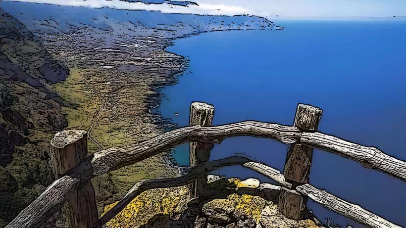
The Mirador de Jinama is a panoramic viewpoint located on the northern cliff face of El Hierro, providing extensive views over the El Golfo valley and the Atlantic Ocean. It serves as a key observation point for the island's dramatic geological features.
Visual Characteristics
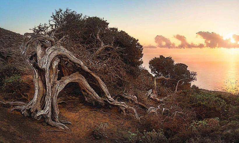
The viewpoint features a stone and concrete platform with safety railings, extending slightly over the cliff edge. The primary visual characteristic is the expansive vista of the El Golfo valley, a large amphitheater-shaped depression formed by a prehistoric landslide. Below, agricultural terraces and scattered buildings are visible, contrasting with the deep blue of the ocean and the often-cloud-shrouded peaks of the island's interior. The vegetation on the slopes leading down to the valley is dense, primarily composed of Canary Island pine and laurel forest remnants.Location & Access Logistics
The Mirador de Jinama is situated approximately 10 kilometers west of Valverde, the island's capital, and 5 kilometers east of Frontera. Access is primarily via the HI-10 road, which connects to the HI-1. A small, unpaved parking area is available directly at the viewpoint, accommodating approximately 10-15 vehicles. Public transport options are not available directly to the mirador; a private vehicle or taxi is required.Historical & Ecological Origin
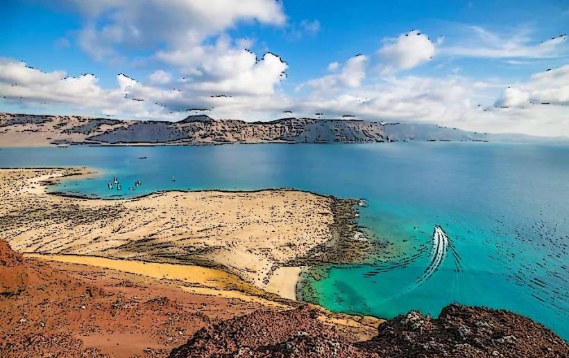
The viewpoint itself is a modern construction, established to provide public access to the dramatic landscape. Ecologically, the view encompasses the immense scar of the El Golfo landslide, a catastrophic event that occurred approximately 50,000 years ago, when a significant portion of the island's northern flank collapsed into the ocean. This geological formation created the distinctive crescent-shaped valley.Key Highlights & Activities
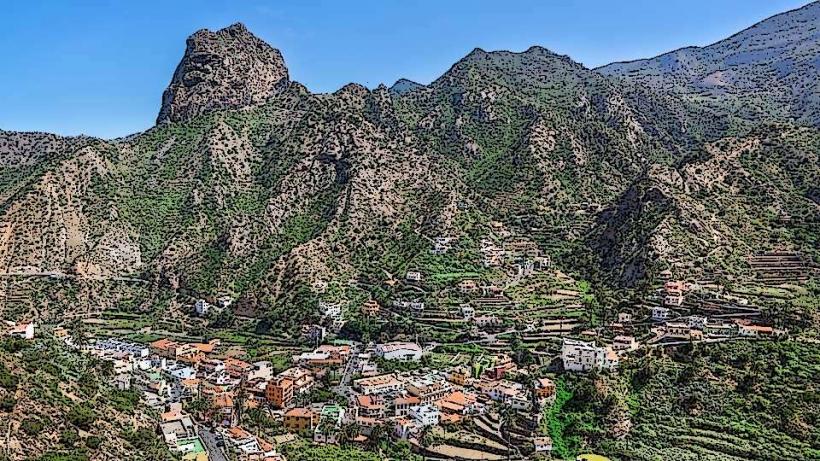
Observation and photography are the primary activities. The viewpoint offers a unique perspective on the island's geological history. The ancient Camino de Jinama, a traditional path connecting the highlands with the El Golfo valley, passes near the mirador and is accessible for hiking.Infrastructure & Amenities
No public restrooms are available directly at the viewpoint. Limited natural shade is provided by sparse trees adjacent to the platform. Cell phone signal (4G/5G) is generally reliable. There are no food vendors or shops immediately at the mirador, though a small restaurant may be found a short drive away.Best Time to Visit
The best time to visit for clear views is typically in the morning, before midday clouds often roll in from the ocean and obscure the valley. The months of April to June and September to November offer the most stable weather conditions with less chance of heavy fog or rain.Facts & Legends
The Camino de Jinama, visible from the mirador, was historically a vital and arduous route for islanders to transport goods and livestock between the fertile El Golfo valley and the central plateau. It is a testament to the resilience and traditional way of life on El Hierro.Nearby Landmarks
- Ecomuseo de Guinea: 3.5km West
- Lagartario (Giant Lizard Recovery Center): 3.6km West
- Pozo de la Salud: 8km Northwest
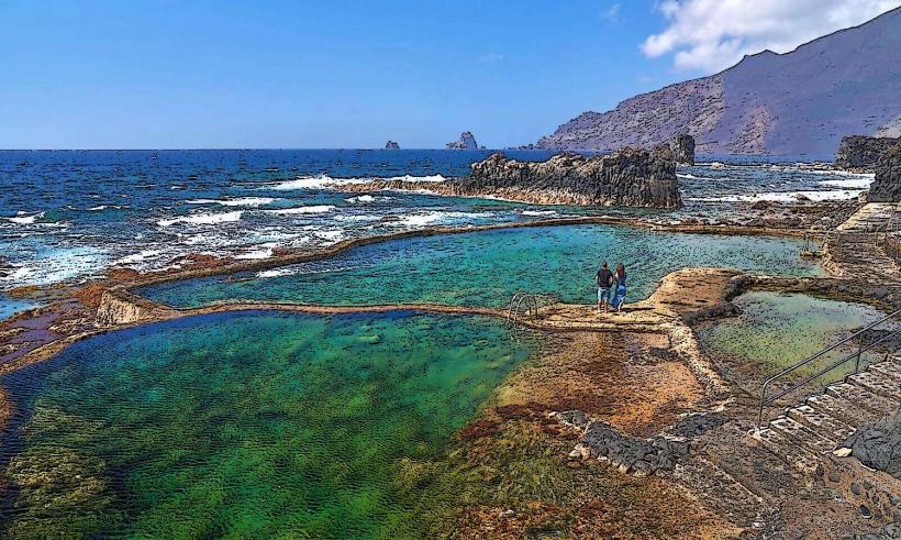
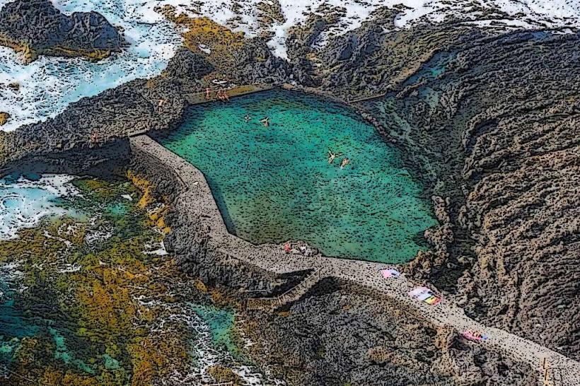
- Charco Azul: 7km Northwest