Information
Landmark: La FronteraCity: El Hierro
Country: Canary Islands
Continent: Europe
La Frontera, El Hierro, Canary Islands, Europe
La Frontera is a municipality situated on the western side of the island of El Hierro, part of the Canary Islands archipelago. It encompasses several distinct settlements and a significant portion of the island's natural landscape.
Visual Characteristics
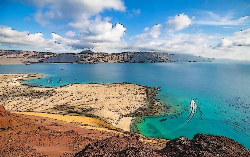
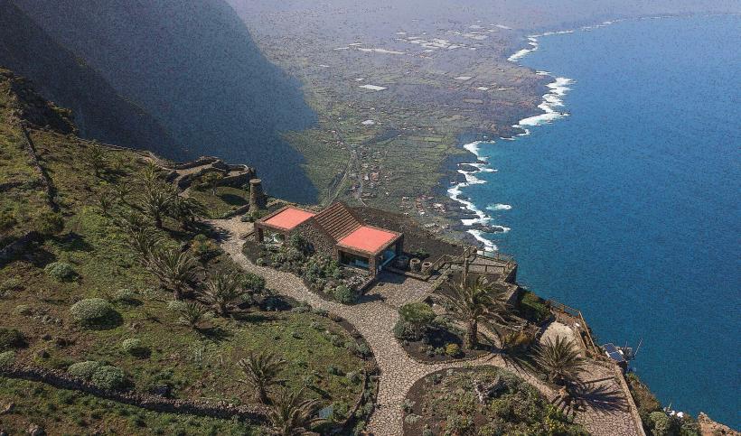
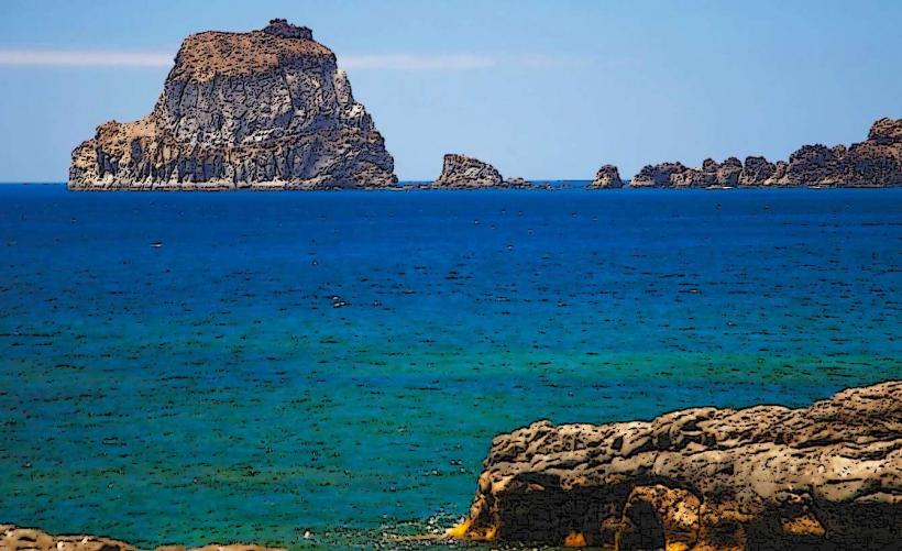
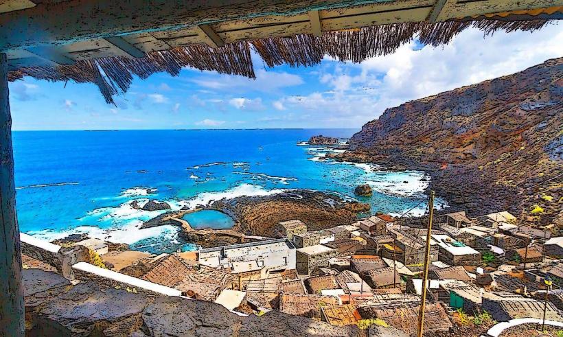
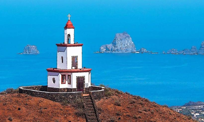
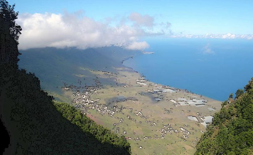
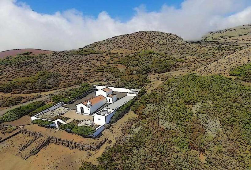
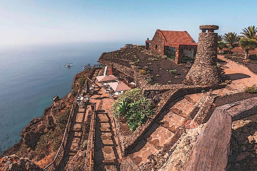
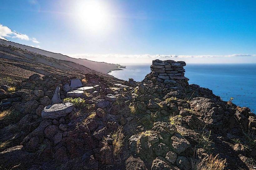
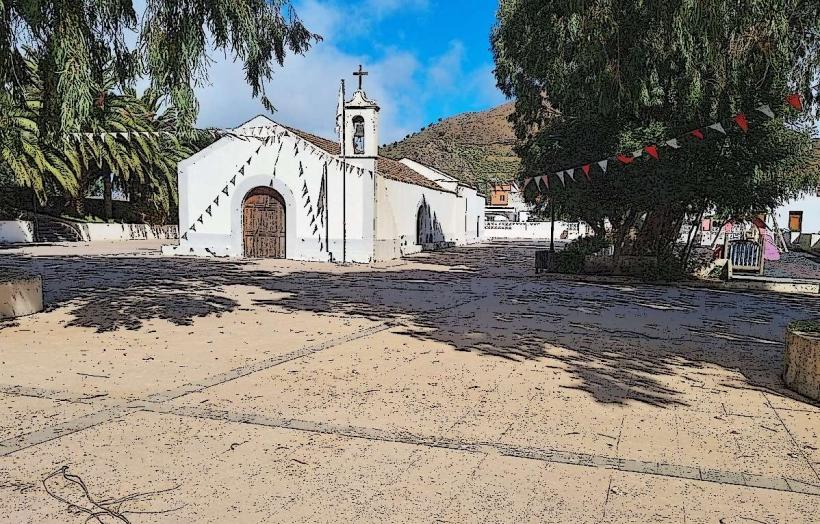
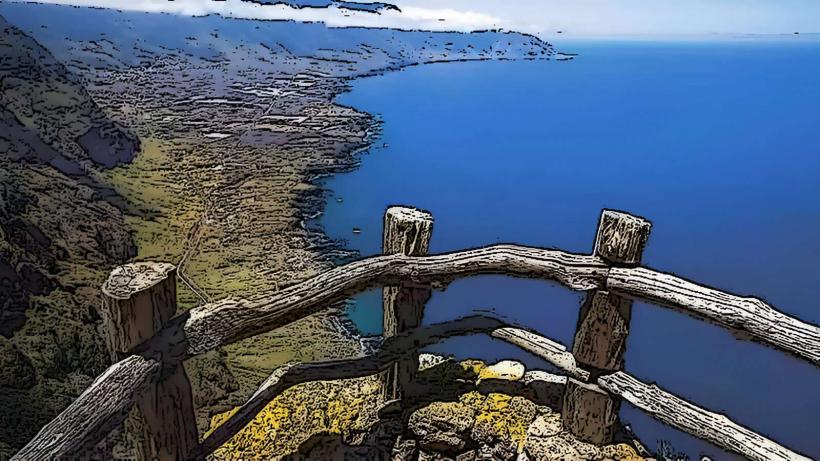
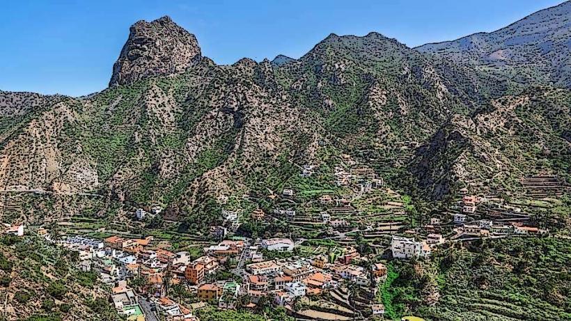
The municipality of La Frontera is characterized by dramatic volcanic cliffs, particularly the Risco de Tibataje, which rises steeply from the sea. The landscape transitions from arid coastal areas to fertile agricultural valleys and dense laurel forests at higher elevations. Buildings typically feature white-washed walls and red-tiled roofs, common in traditional Canarian architecture.
Location & Access Logistics
La Frontera is situated on the western side of El Hierro. Access is primarily via the HI-5 road, which connects it to the island's capital, Valverde, approximately 30 kilometers to the east. The HI-500 road provides access to coastal areas like Pozo de la Salud. Limited public bus services, such as Line 2 from Valverde, operate daily. Parking is available in designated areas within the main town and at specific natural attractions.
Historical & Ecological Origin
The municipality of La Frontera was officially established in 1912, separating from Valverde. Its geological origin is entirely volcanic, formed by successive eruptions that created the island of El Hierro, the youngest of the Canary Islands. The prominent El Golfo valley, a large amphitheater-shaped depression, is the result of a massive landslide that occurred approximately 50,000 years ago.
Key Highlights & Activities
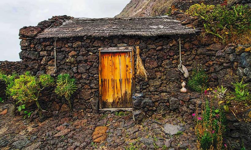
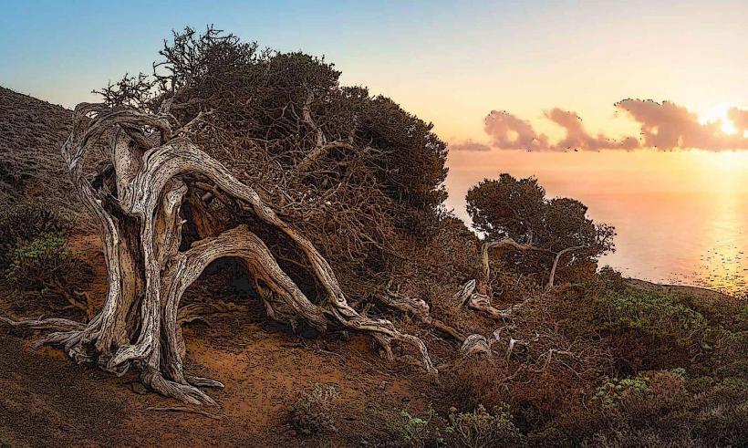
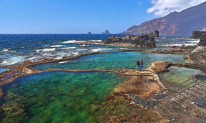
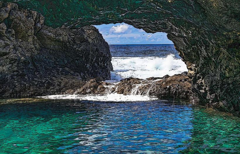
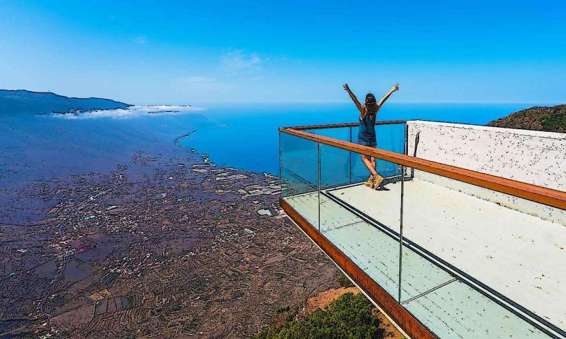
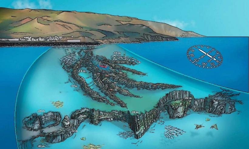
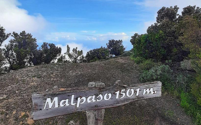
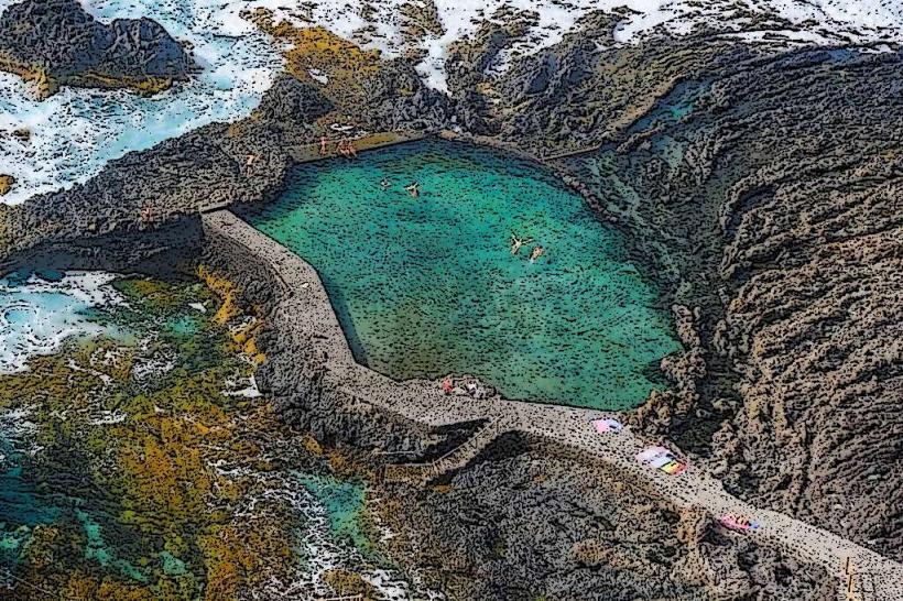
Activities include hiking along trails such as the path to Mirador de La Peña, swimming in natural pools like Charco Azul, and exploring the ancient juniper trees at El Sabinar. Visiting the Lagartario de Guinea offers insight into the conservation of the El Hierro giant lizard. Diving and snorkeling are possible along the coast, particularly in the nearby marine reserve areas.
Infrastructure & Amenities
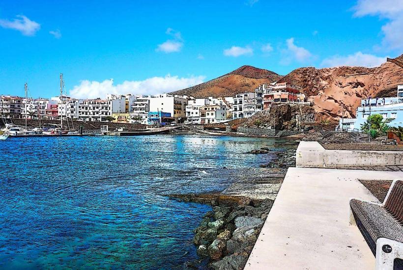
Public restrooms are available in the main town of La Frontera and at major tourist sites like Mirador de la Peña. Shade is limited in coastal areas but abundant in forested zones and within town squares. 4G/5G cell phone signal is generally reliable in populated areas and along main roads, but can be intermittent in remote valleys or deep ravines. Several restaurants and small grocery stores are located in the town center and in coastal villages like Las Puntas.
Best Time to Visit
The best time to visit La Frontera is during the spring (April-June) and autumn (September-November) when temperatures are mild and rainfall is minimal. For photography, early morning or late afternoon light provides optimal conditions for capturing the dramatic cliffs and coastal landscapes. Access to some natural pools like Charco Azul is best at low to mid-tide for safer swimming.
Facts & Legends
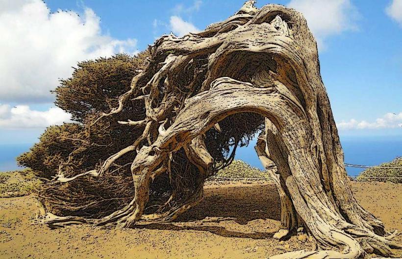
A local legend recounts that the ancient Bimbaches, the aboriginal inhabitants of El Hierro, believed the giant juniper trees of El Sabinar were sacred, twisted into their unique forms by the constant winds as a testament to the island's enduring spirit. A verified historical oddity is the Pozo de la Salud, a natural spring whose waters were historically believed to have medicinal properties, attracting visitors seeking cures.
Nearby Landmarks
- Mirador de la Peña: 0.5km East
- Lagartario de Guinea: 2km North
- Ecomuseo de Guinea: 2km North
- Charco Azul: 3km North-West
- El Sabinar: 7km South-West