Information
Landmark: Los Llanos de AridaneCity: El Hierro
Country: Canary Islands
Continent: Europe
Los Llanos de Aridane, El Hierro, Canary Islands, Europe
Los Llanos de Aridane is the second-most populous municipality on the island of La Palma, located in the Aridane Valley on the island's western side. It serves as a significant economic and cultural center for the western region of the Canary Islands.
Visual Characteristics
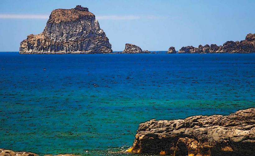
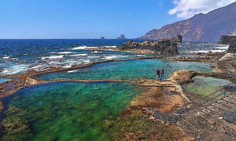
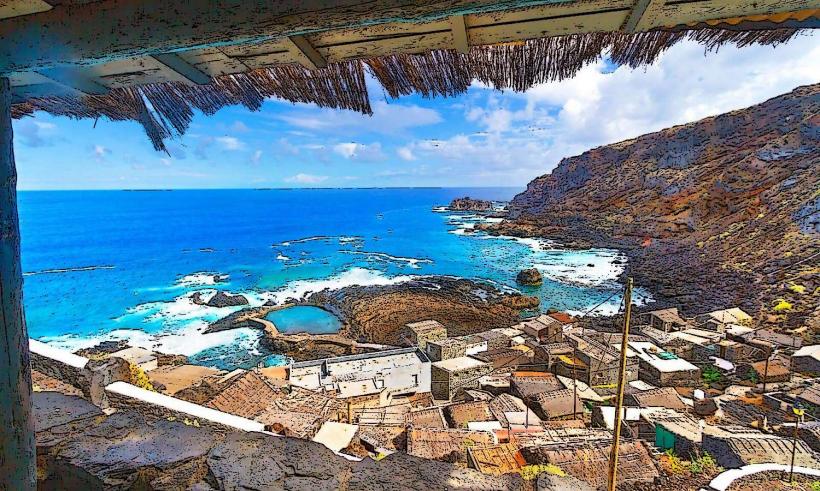
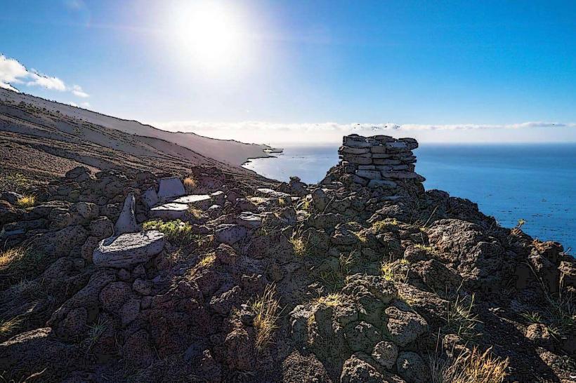
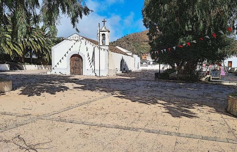
The municipality features a blend of traditional Canarian architecture with more modern urban developments. Buildings typically display white or pastel-colored facades with tiled roofs. The town center is characterized by pedestrianized streets and plazas. Surrounding areas consist of extensive agricultural plantations, primarily bananas and avocados, set against a backdrop of volcanic terrain and the lush slopes leading to the Caldera de Taburiente National Park.
Location & Access Logistics
Los Llanos de Aridane is situated on the central-west coast of La Palma. It is approximately 35 kilometers from Santa Cruz de La Palma, accessible via the LP-2 highway which traverses the island. The LP-3 tunnel provides a direct route through the mountains. Ample public parking is available in designated municipal lots and along streets. Public bus lines, including routes 200, 204, and 205, connect Los Llanos de Aridane with other towns and the capital.
Historical & Ecological Origin
The town's origins trace back to the post-conquest era of La Palma, developing as an agricultural hub due to its fertile valley. The name "Llanos" refers to the plains or flat areas, while "Aridane" is derived from the indigenous Guanche language. The municipality's landscape is shaped by ancient volcanic activity, with fertile soils supporting diverse agriculture.
Key Highlights & Activities
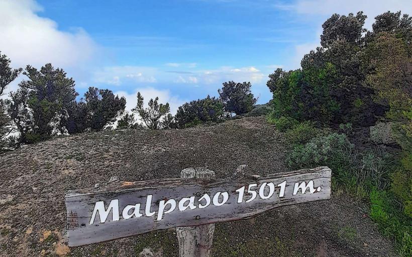
Visitors can explore the central Plaza de España, known for its Indian laurel trees and traditional architecture. The Museo Arqueológico Benahoarita offers insights into the island's pre-Hispanic history. Shopping is available at the municipal market and various local boutiques. The town serves as a primary gateway for hiking trails leading into the Caldera de Taburiente National Park, including access points like the Barranco de las Angustias.
Infrastructure & Amenities
Los Llanos de Aridane provides comprehensive urban infrastructure. Restrooms are available in public buildings and commercial establishments. Numerous cafes, restaurants, and shops offer food and services. Public parks and tree-lined streets provide natural shade. Cell phone signal (4G/5G) is generally strong throughout the municipality. Medical facilities and pharmacies are also present.
Best Time to Visit
The climate in Los Llanos de Aridane is mild year-round. The months from October to May are ideal for hiking and outdoor activities, as temperatures are cooler and rainfall is moderate. Mornings are best for visiting the municipal market, while evenings offer a lively atmosphere in the central plazas. There are no specific tide requirements for visiting the town itself.
Facts & Legends
Los Llanos de Aridane is recognized for its extensive collection of street art and murals, particularly in the historic district of Argual, transforming public spaces into open-air galleries. The municipality is a major center for the cultivation and export of bananas, which are a cornerstone of La Palma's economy.
Nearby Landmarks
- El Paso: 4km East
- Caldera de Taburiente National Park Visitor Center: 5km Northeast
- Las Manchas: 5km South
- Argual (historic district): 1km North