Information
Landmark: El Hierro Biosphere ReserveCity: El Hierro
Country: Canary Islands
Continent: Europe
El Hierro Biosphere Reserve, El Hierro, Canary Islands, Europe
The El Hierro Biosphere Reserve encompasses the entire island of El Hierro and its surrounding marine waters, located in the westernmost part of the Canary Islands archipelago. It is recognized by UNESCO for its unique geological formations and rich biodiversity.
Visual Characteristics
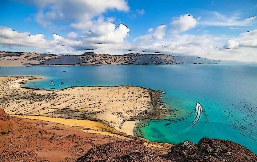
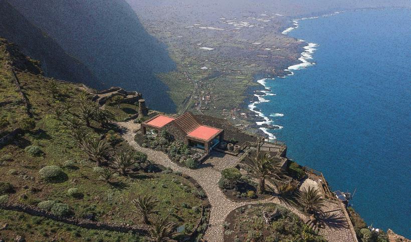
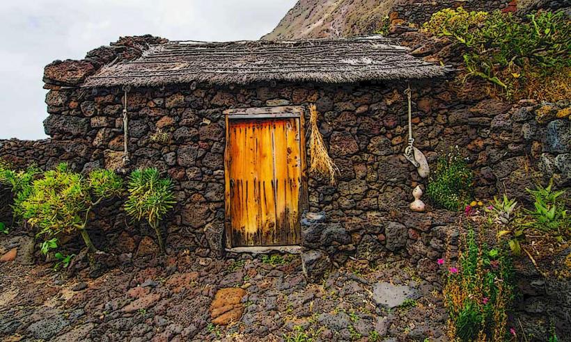
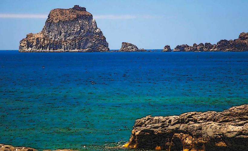
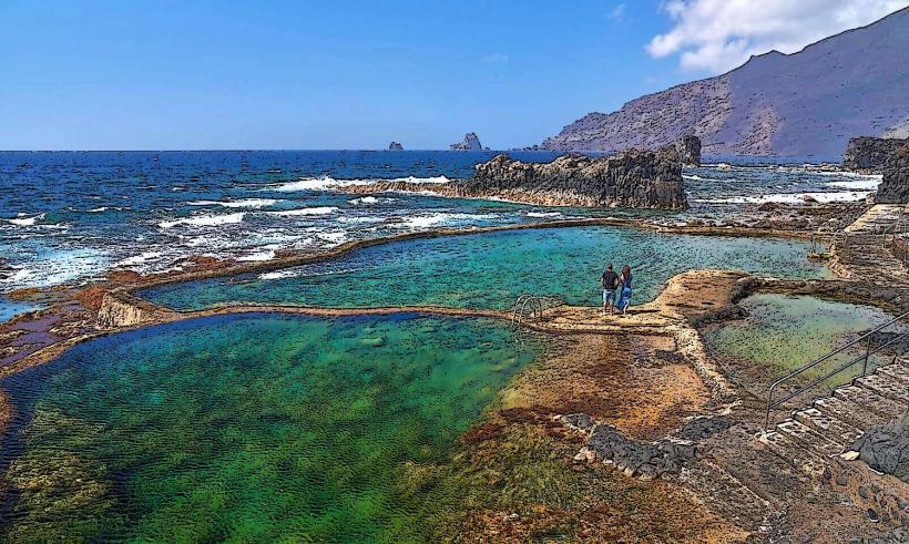
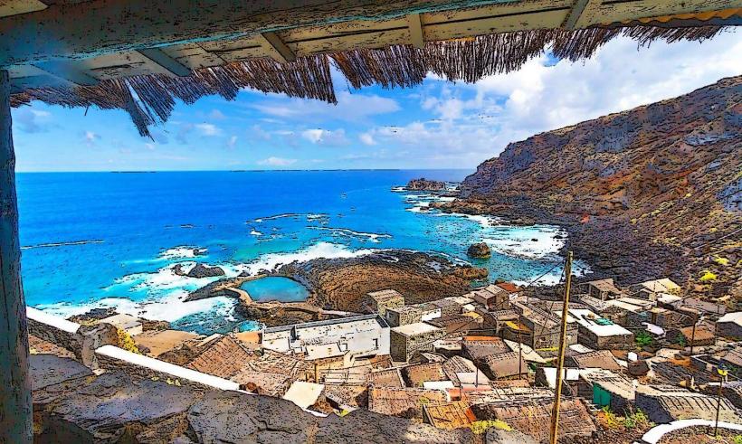
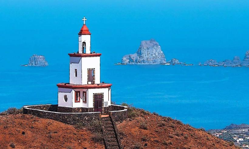
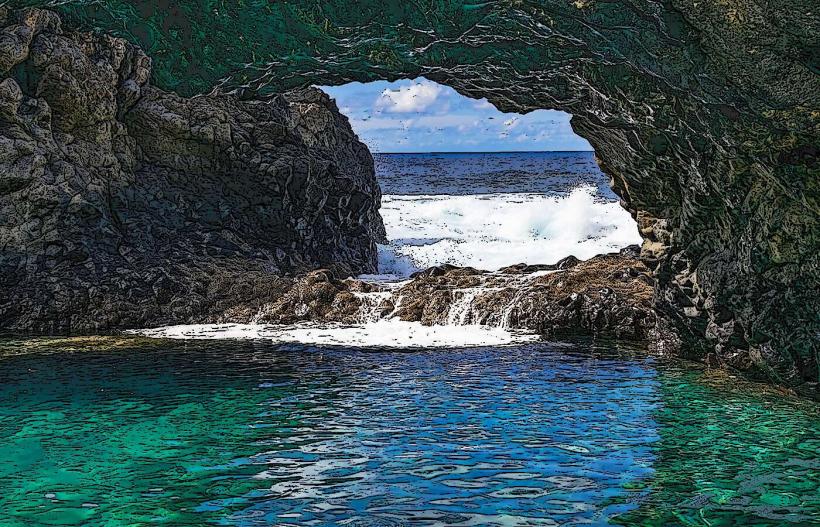
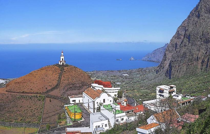
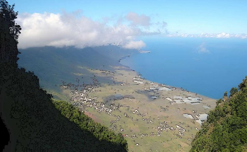
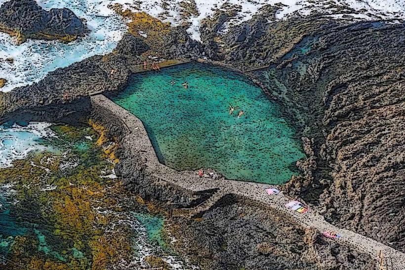
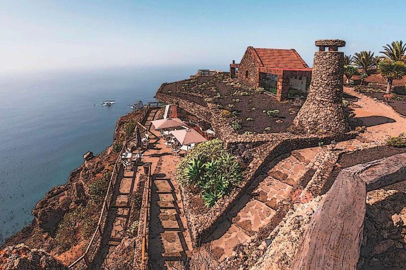
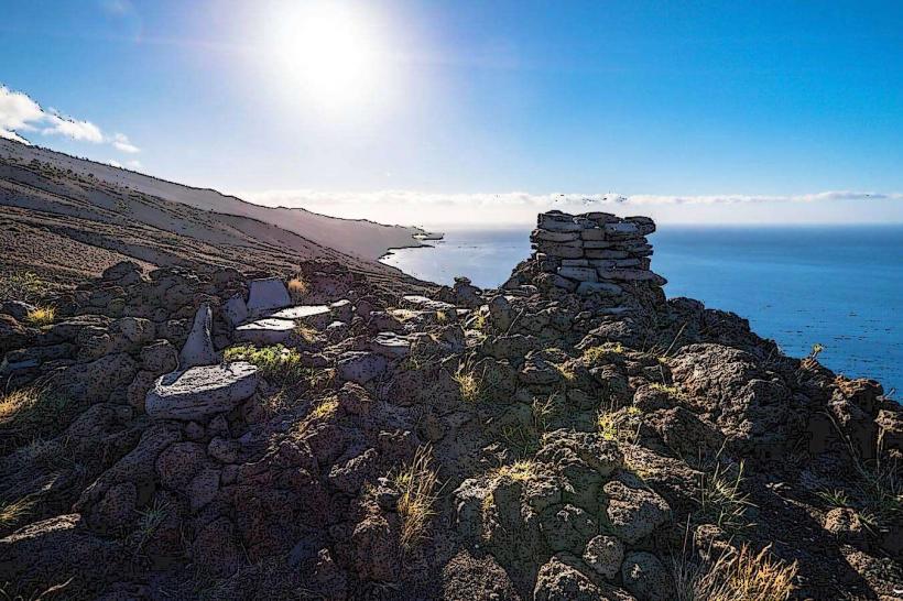
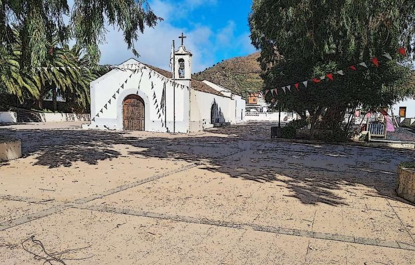
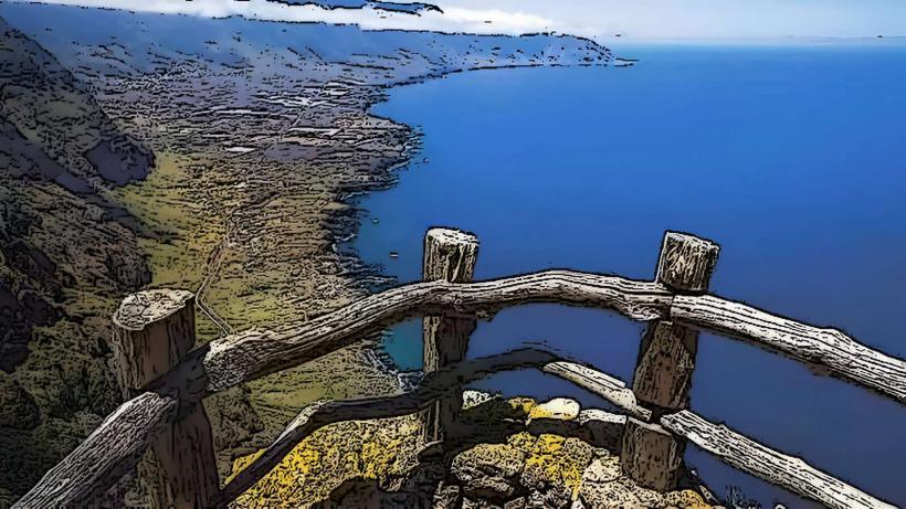
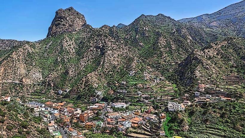
The island features dramatic volcanic landscapes characterized by steep cliffs, extensive lava fields, and fertile valleys. The coastline includes areas with black sand beaches, natural pools formed by volcanic rock, and clear Atlantic waters. Terrestrial vegetation varies from arid scrubland in coastal zones to dense laurel forests and pine woodlands in higher elevations.
Location & Access Logistics
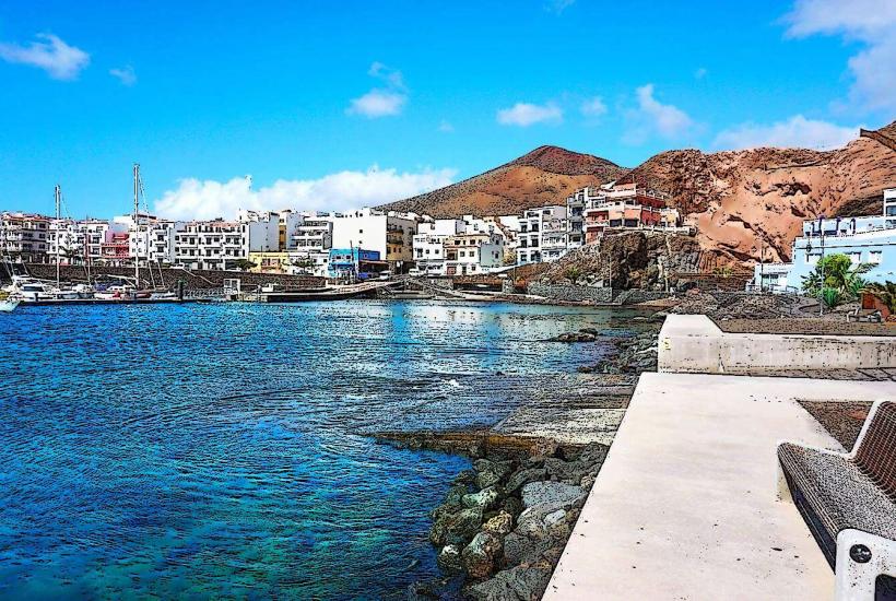
The reserve covers the entirety of El Hierro. Access to the island is primarily via ferry to Puerto de la Estaca or flights to El Hierro Airport (VDE). The main road network, including the HI-1 and HI-2, connects all major towns and points of interest. Rental cars are the most common mode of transport, with parking generally available at tourist sites and settlements. Public bus services (e.g., Line 01, Line 02) operate between key locations.
Historical & Ecological Origin
Designated a UNESCO Biosphere Reserve in 2000, El Hierro is a geologically young volcanic island, formed approximately 1.12 million years ago. Its morphology is shaped by successive volcanic eruptions and significant landslides. The reserve protects diverse terrestrial and marine ecosystems, including endemic flora and fauna, and is a prime example of sustainable development practices.
Key Highlights & Activities
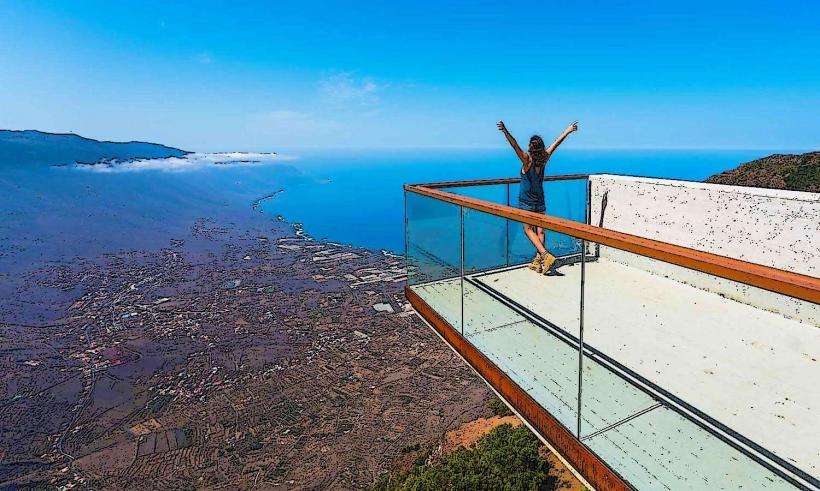
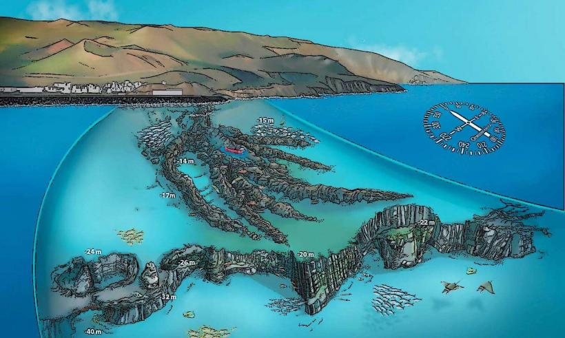
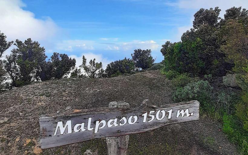
Activities include diving within the Mar de las Calmas Marine Reserve near La Restinga, hiking numerous trails such as the Camino de Jinama or routes through the La Dehesa pastureland, and visiting panoramic viewpoints like Mirador de La Peña. Whale and dolphin watching excursions are also available from coastal towns.
Infrastructure & Amenities
Restrooms are available in towns, at visitor centers, and at some major viewpoints. Shade is limited in volcanic areas but can be found in forested zones and designated picnic areas. Cell phone signal (4G/5G) is generally reliable in populated areas and along main roads, though it may be intermittent in remote valleys or along certain coastal cliffs. Food vendors and restaurants are present in towns such as Valverde, La Frontera, and La Restinga.
Best Time to Visit
The climate is mild year-round. The best months for hiking and general exploration are from April to June and September to November, offering pleasant temperatures and less rainfall. Diving conditions are optimal from May to October when water temperatures are warmer and underwater visibility is typically high.
Facts & Legends
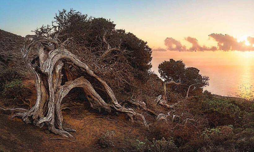
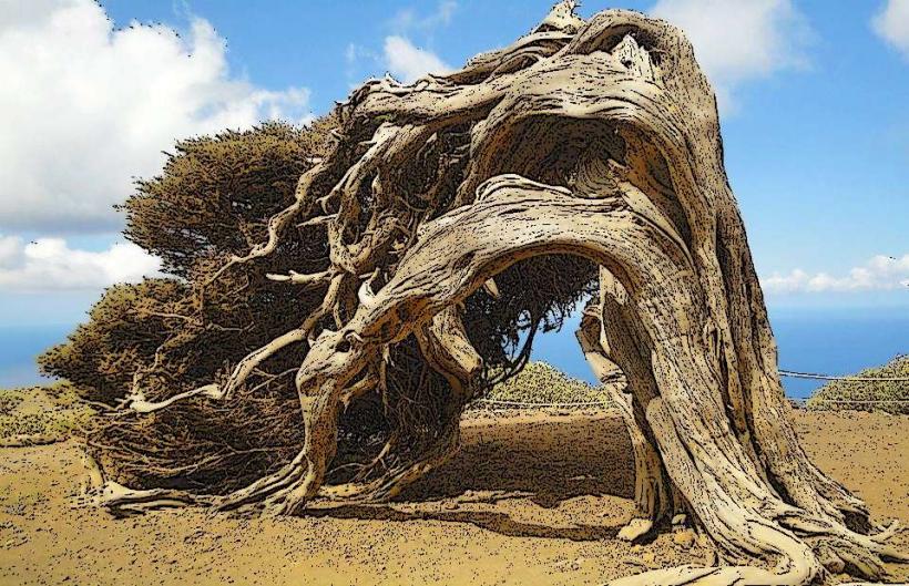
El Hierro was historically considered the westernmost point of the known world, serving as the prime meridian until the 17th century. A local legend recounts the significance of the Garoe Tree (Arbol Santo), a sacred laurel tree that collected water from mist, providing a vital water source for the aboriginal Bimbache inhabitants.
Nearby Landmarks
- Charco Azul: 2.5km West
- Pozo de las Calcosas: 3.5km Northwest
- La Maceta Natural Pools: 4km Northwest
- Mirador de Jinama: 4km East