Information
Landmark: San Andrés de TejadaCity: El Hierro
Country: Canary Islands
Continent: Europe
San Andrés de Tejada, El Hierro, Canary Islands, Europe
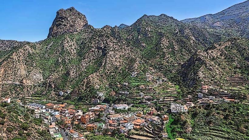
The San Andrés de Tejada is a traditional rural settlement situated on the northeastern side of El Hierro, the smallest of the Canary Islands. It functions primarily as an agricultural community within the municipality of Valverde.
Visual Characteristics
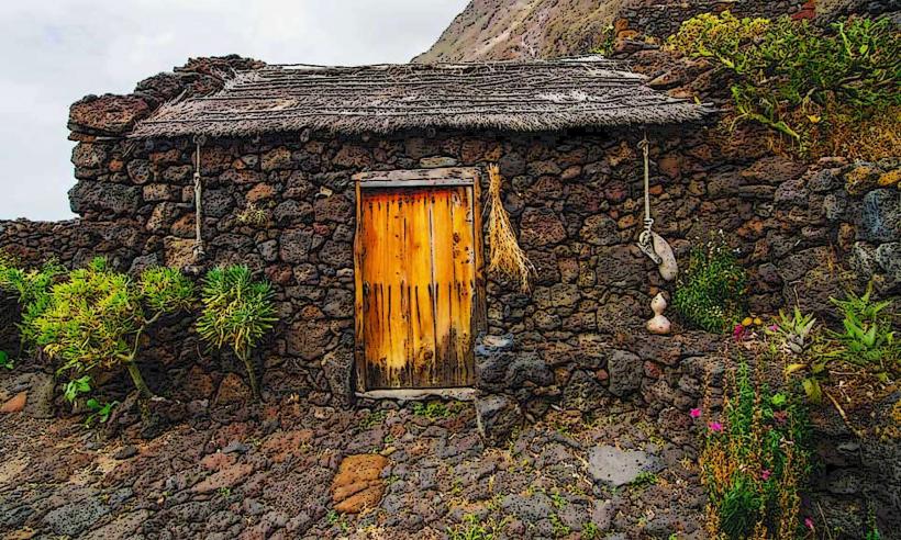
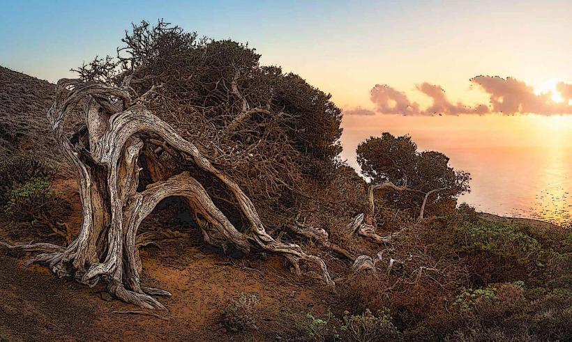
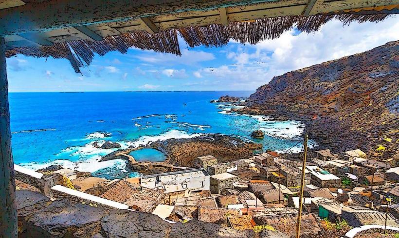
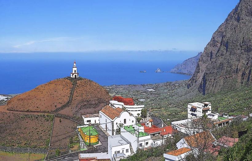
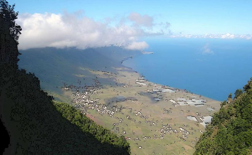
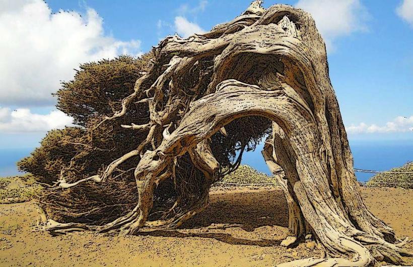
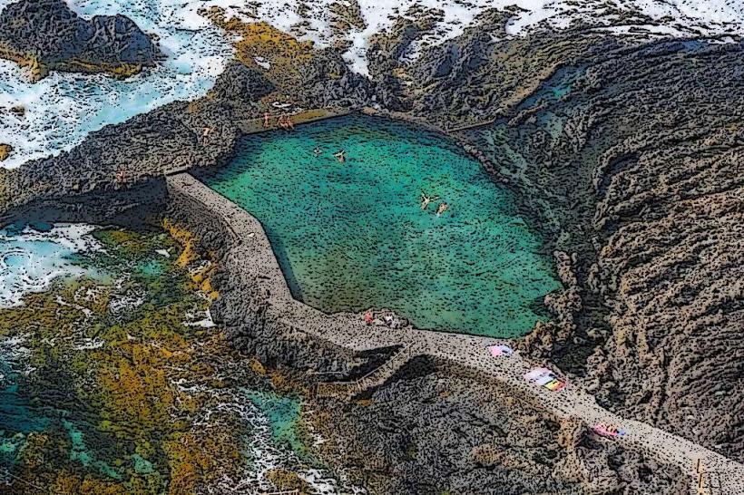
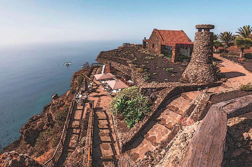
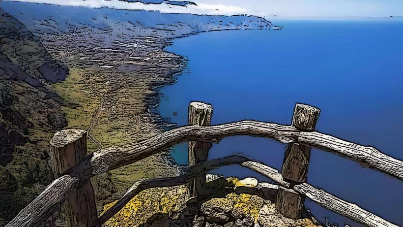
The village comprises a collection of low-rise, single-story houses constructed from local volcanic stone and whitewashed plaster. Roofs are typically gabled and covered with red ceramic tiles. Buildings are often clustered along narrow, winding streets, reflecting traditional Canarian rural architecture. Surrounding the village are terraced fields, cultivated with potatoes, vineyards, and fruit trees, interspersed with native scrubland and pine forests. The elevation provides views towards the Atlantic Ocean.
Location & Access Logistics
San Andrés de Tejada is located approximately 6 kilometers southwest of Valverde, the island's capital. Access is primarily via the HI-1 road, which connects Valverde to the central and southern parts of the island. From Valverde, take the HI-1 south and follow signs for San Andrés. Parking is available in designated roadside areas or small village squares. Public transport is limited; bus line 03 serves the route between Valverde and San Andrés, with infrequent schedules. A taxi service from Valverde is also an option.
Historical & Ecological Origin
The settlement of San Andrés de Tejada dates back several centuries, evolving as an agricultural hub for the cultivation of essential crops and livestock farming. Its origin is tied to the historical colonization and subsequent rural development of El Hierro, with early inhabitants establishing permanent residences to work the fertile volcanic soils. The village's layout reflects organic growth rather than a planned urban design, adapting to the terrain and agricultural needs of its community.
Key Highlights & Activities
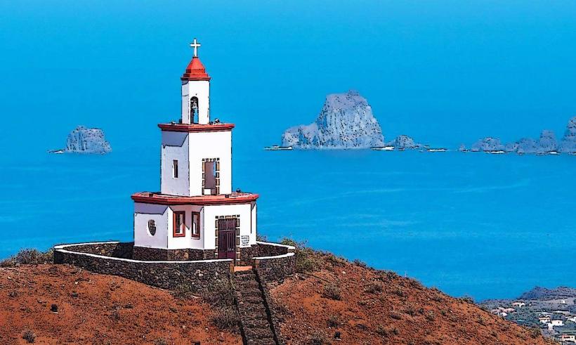
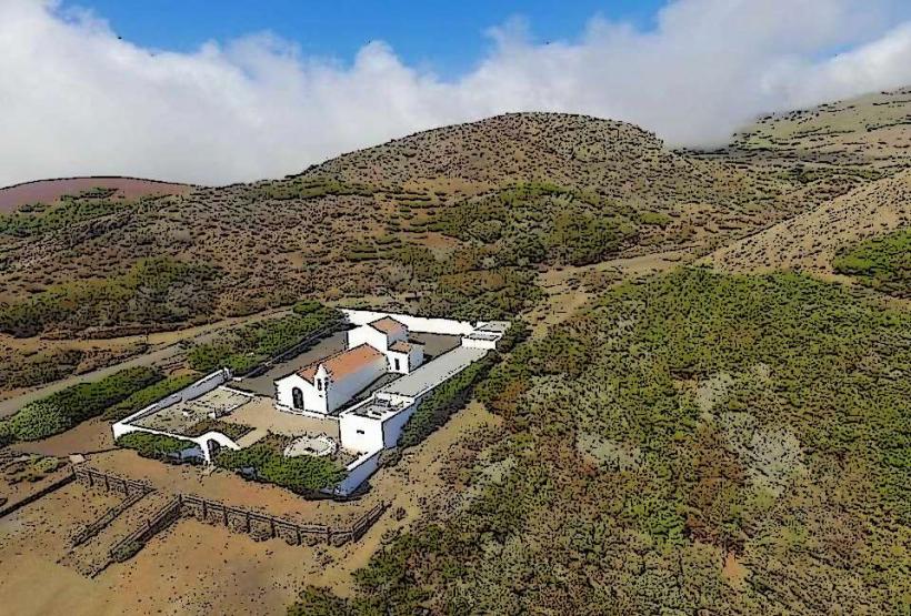
Visitors can walk through the village to observe traditional Canarian rural life and architecture. The small Ermita de San Andrés, a local chapel, is a point of interest. Hiking trails connect San Andrés de Tejada to surrounding agricultural areas and viewpoints, offering opportunities for observing the island's unique flora. Local agricultural products, such as wine and cheese, can sometimes be purchased directly from producers.
Infrastructure & Amenities
Basic amenities are available in San Andrés de Tejada. There are no dedicated public restrooms, but a small local bar or restaurant may offer facilities. Shade is provided by trees in some public areas and by building overhangs. Cell phone signal (4G) is generally reliable throughout the village. Food vendors are limited to one or two small, family-run establishments offering local cuisine and beverages.
Best Time to Visit
The best time to visit San Andrés de Tejada is during the spring (April-June) or autumn (September-November) months when the weather is mild and pleasant for walking. Mornings offer good light for photography of the village and surrounding landscapes. The agricultural fields are particularly green and active during the spring. There are no specific tide requirements as the village is inland.
Facts & Legends
The village is known for its traditional agricultural practices, particularly the cultivation of grapes for local wine production, a tradition passed down through generations. A local saying suggests that the best potatoes on the island come from the fields around San Andrés due to the rich volcanic soil and specific microclimate.
Nearby Landmarks
- Mirador de Jinama: 2.5km West
- Valverde: 6km Northeast
- Ecomuseo de Guinea y Lagartario: 8km Southwest
- Pozo de la Salud: 10km West