Information
Landmark: Thamalakane RiverCity: Maun
Country: Botswana
Continent: Africa
Thamalakane River, Maun, Botswana, Africa
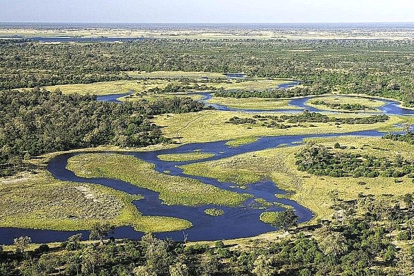
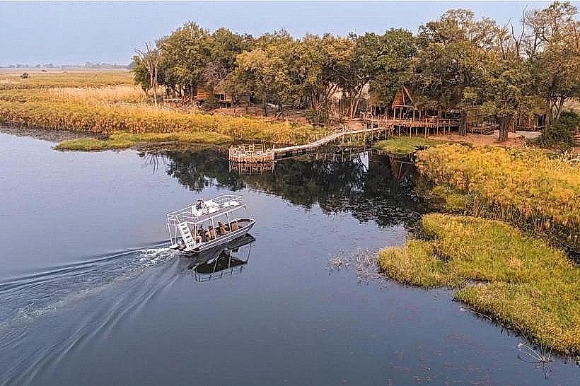
The Thamalakane River is a seasonal river located in and around Maun, Botswana. It is a significant watercourse in the Okavango Delta region.
Visual Characteristics
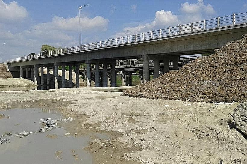
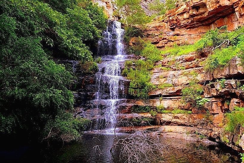
The riverbed is primarily composed of sand, with varying widths depending on water flow. During dry periods, it appears as a dry channel with scattered vegetation. When water is present, the river can range from a few meters to over 100 meters wide, with muddy banks and riparian vegetation including acacia and palm trees.
Location & Access Logistics
The Thamalakane River flows through Maun. Access points are numerous along the town's perimeter. The main road, A3 highway, runs parallel to the river on its southern side. Parking is generally available along the riverbanks in designated areas or informal pull-offs. Public transport within Maun consists of minibuses, which can drop passengers near river access points.
Historical & Ecological Origin
The Thamalakane River is an inland delta system, originating from the Okavango Delta. It is a terminal river, meaning its waters do not reach the sea, instead evaporating or sinking into the Kalahari sands. Its flow is dependent on the annual floodwaters of the Okavango Delta.
Key Highlights & Activities
Boating is possible during periods of sufficient water depth, typically from January to March. Fishing is permitted in designated areas. Birdwatching is a common activity along the riverbanks. Walking along the river's edge is feasible when dry.
Infrastructure & Amenities
Restrooms are not consistently available along the riverbanks. Shade is provided by natural vegetation. Cell phone signal (4G/5G) is generally available in Maun and along accessible river sections. Food vendors are present in Maun, with some located near river access points.
Best Time to Visit
The best time for viewing water in the river is typically between January and March, following the Okavango Delta's flood season. For photography, early morning and late afternoon offer optimal lighting conditions. Dry periods offer better access for walking.
Facts & Legends
The Thamalakane River is known to disappear completely during severe droughts, leaving behind a dry sand channel. Local folklore sometimes attributes the river's flow to the moods of the spirits of the land.
Nearby Landmarks
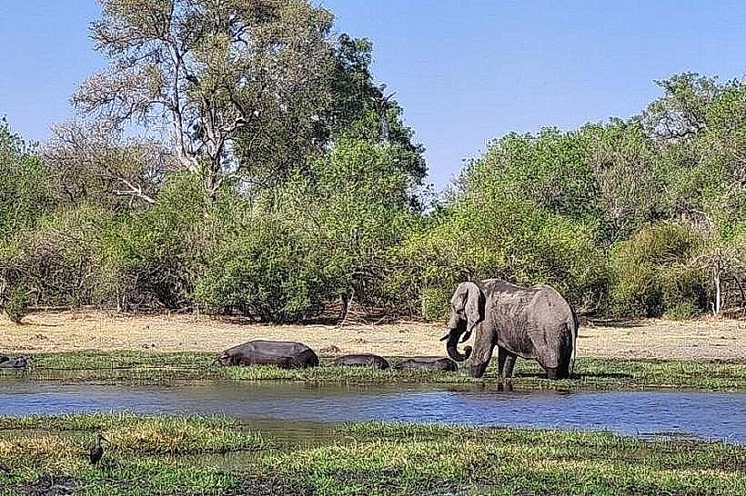
- Okavango Delta - 15km North
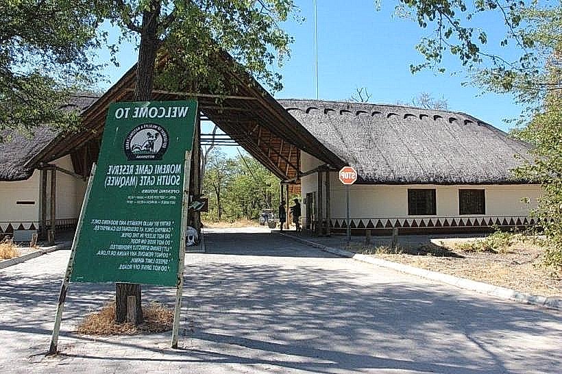
- Maun Game Sanctuary - 3km West
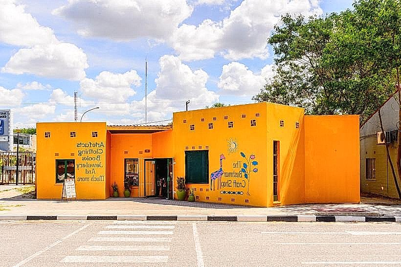
- Botswana Craft - 2km South
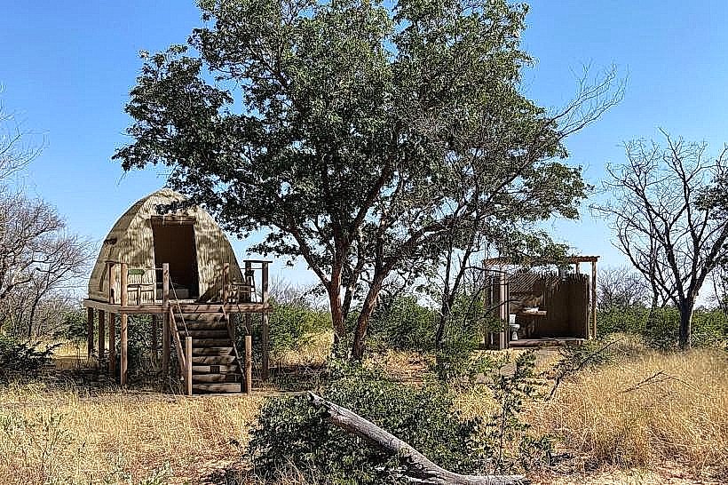
- Thamalakane River Lodge - 5km East